Download to read offline
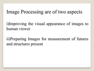
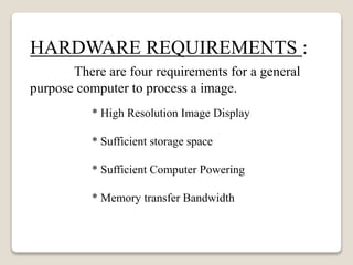

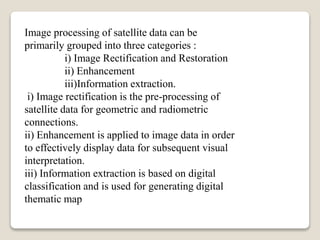

Image processing involves improving visual appearance for human viewers and preparing images for measuring features and structures. It requires hardware with high resolution displays, sufficient storage and power, and memory bandwidth. Software like Photoshop and Corel Draw are used. Image processing of satellite data includes rectification and restoration, enhancement, and information extraction - the pre-processing of data, improving display for interpretation, and generating maps through classification.