Downloaded 72 times
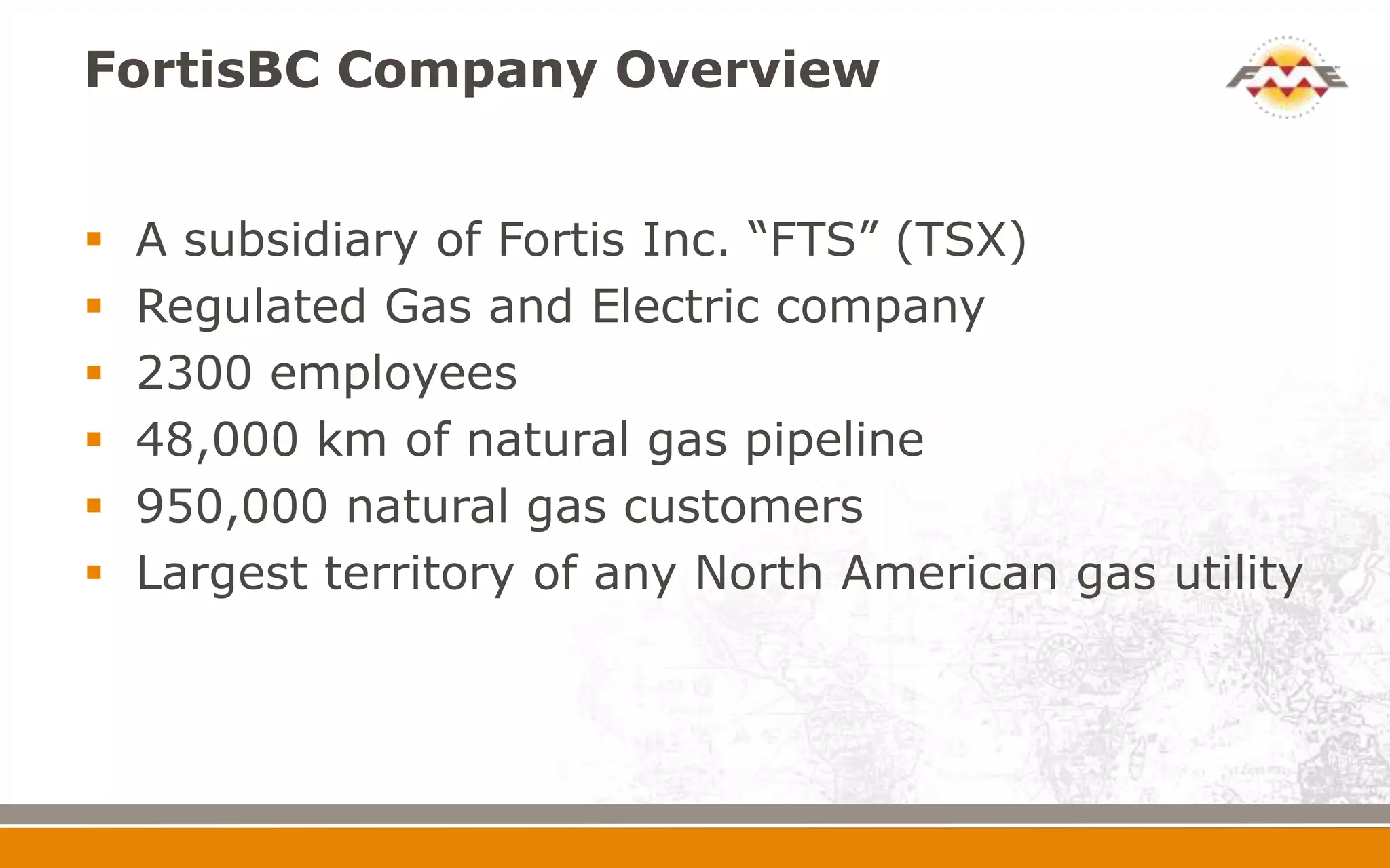
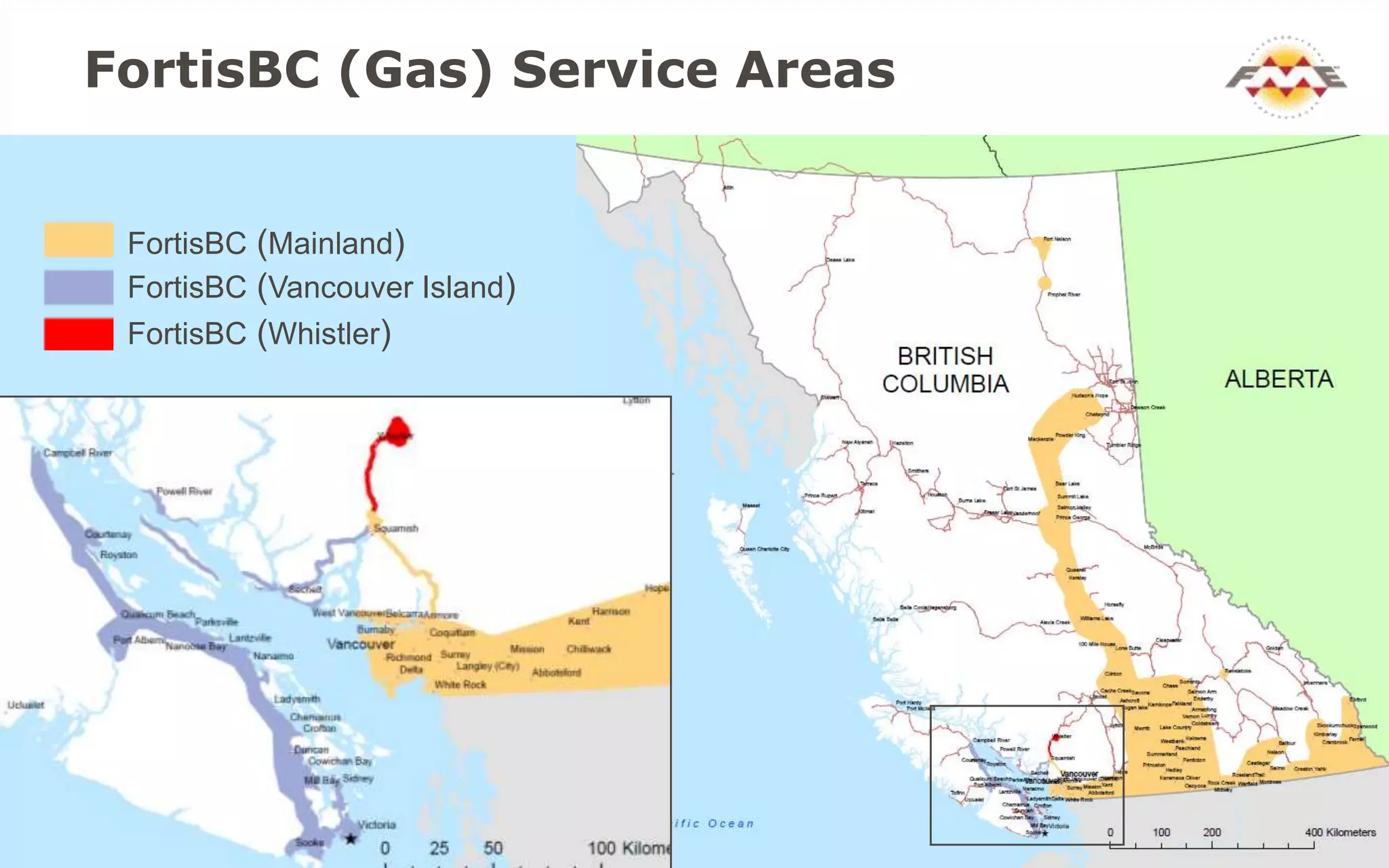
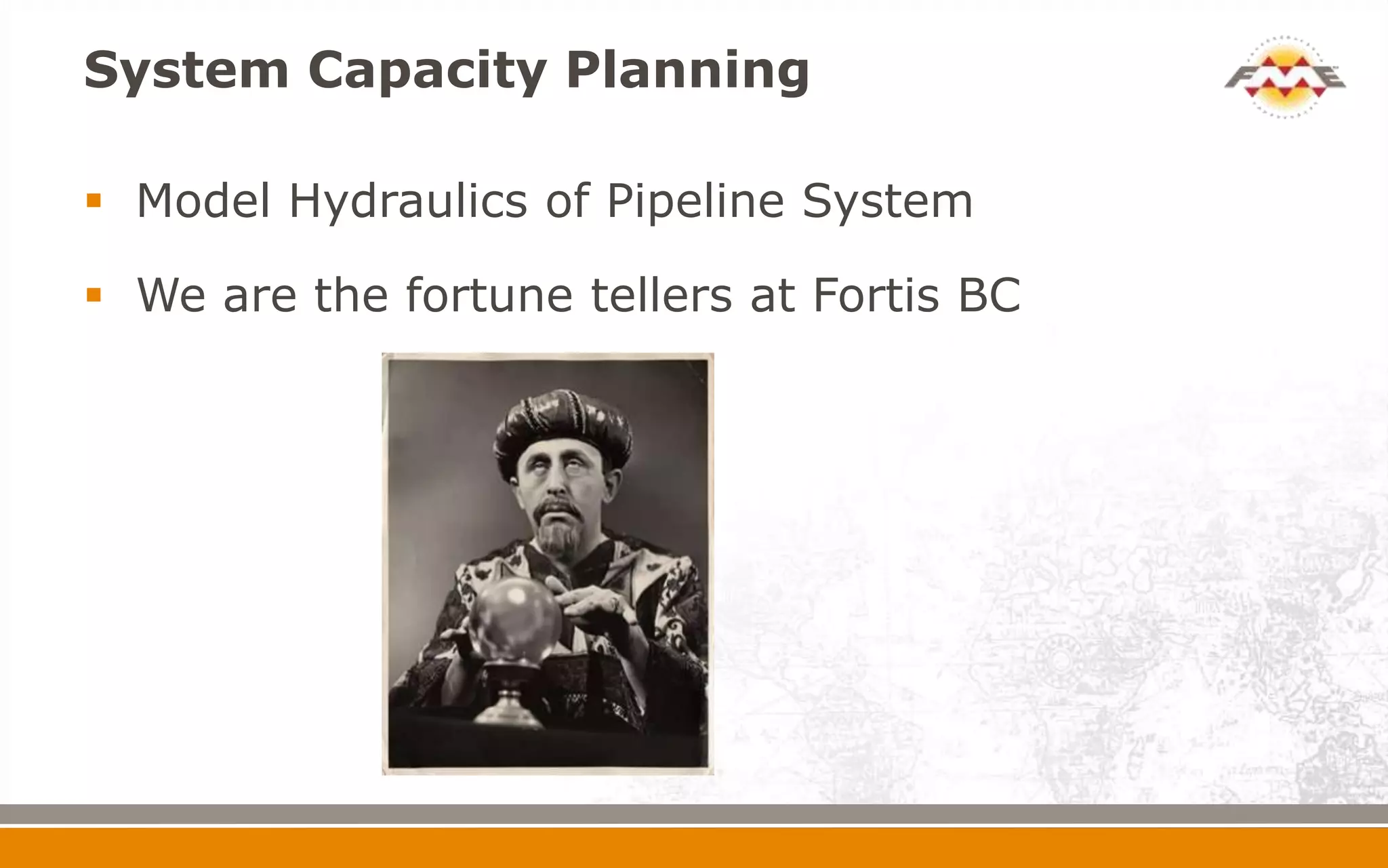
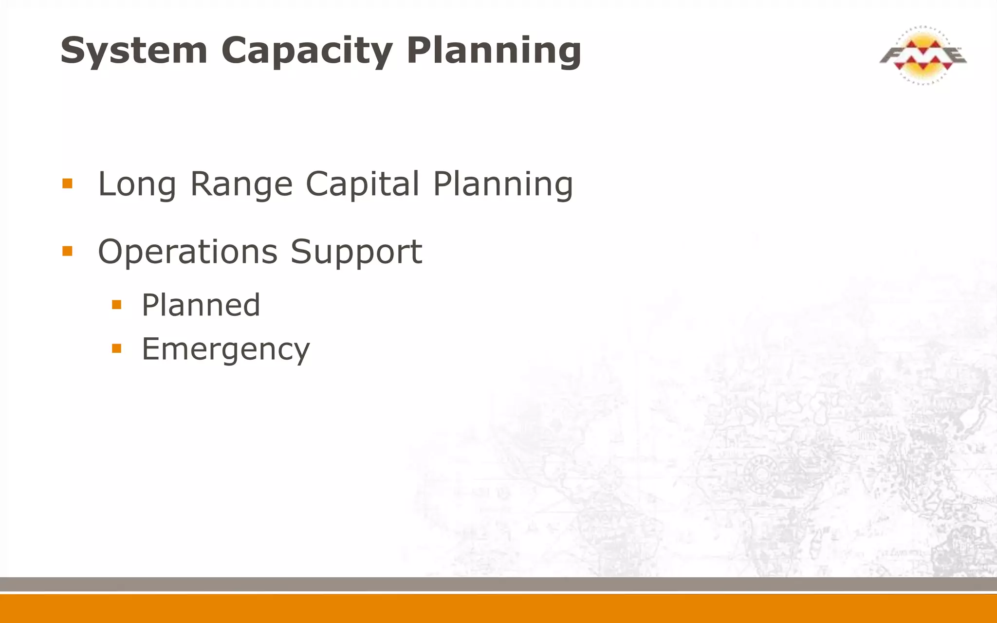
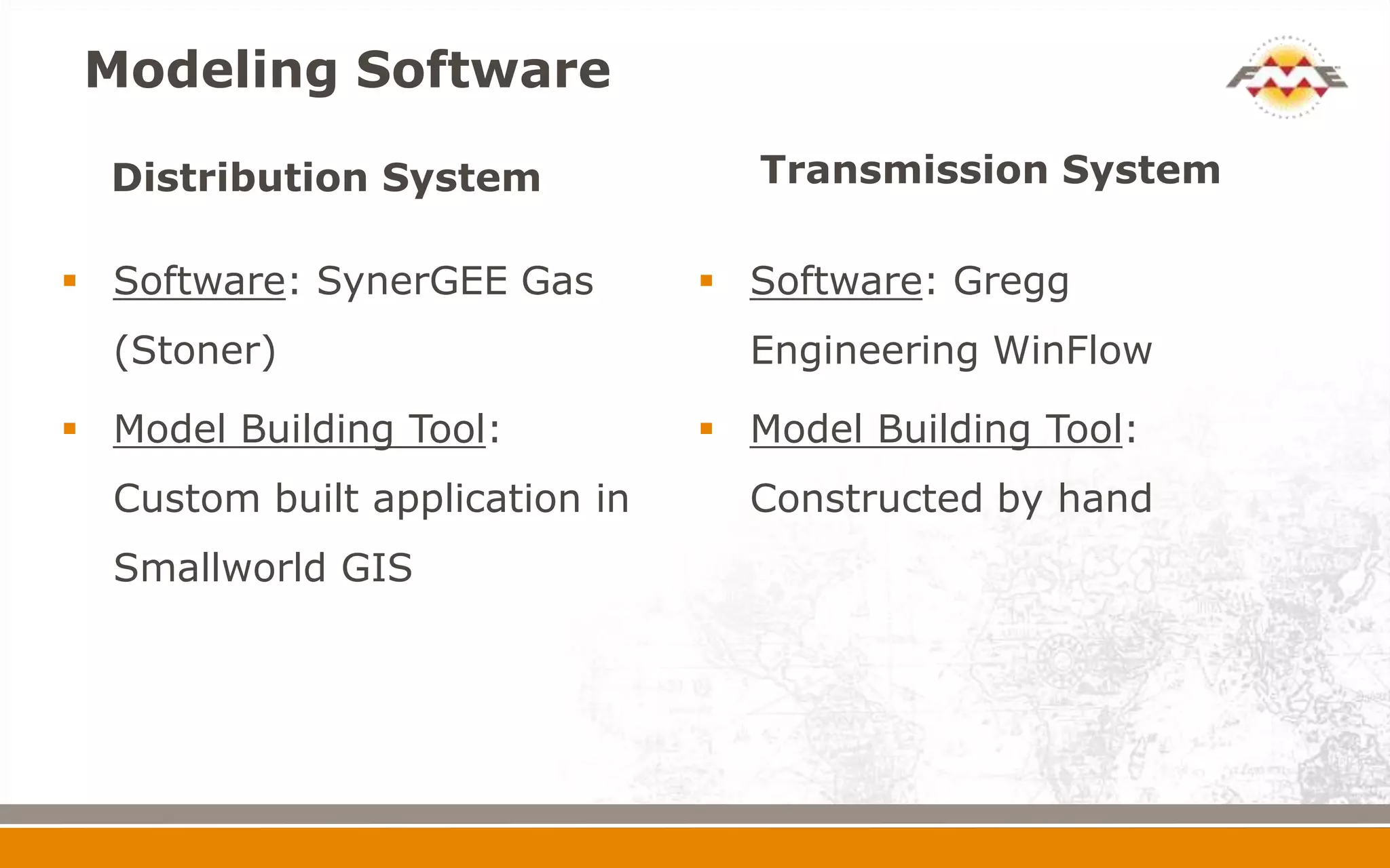
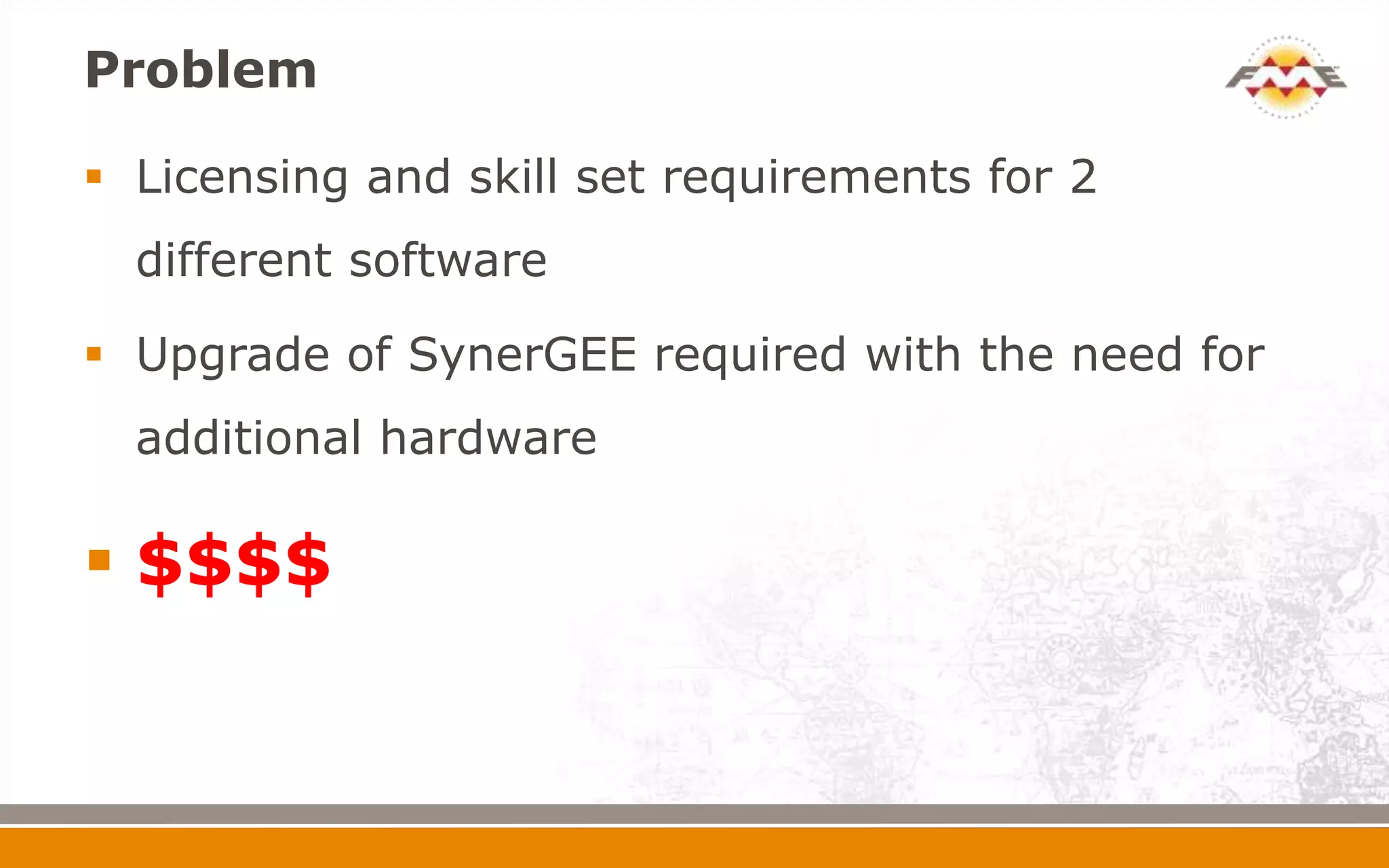
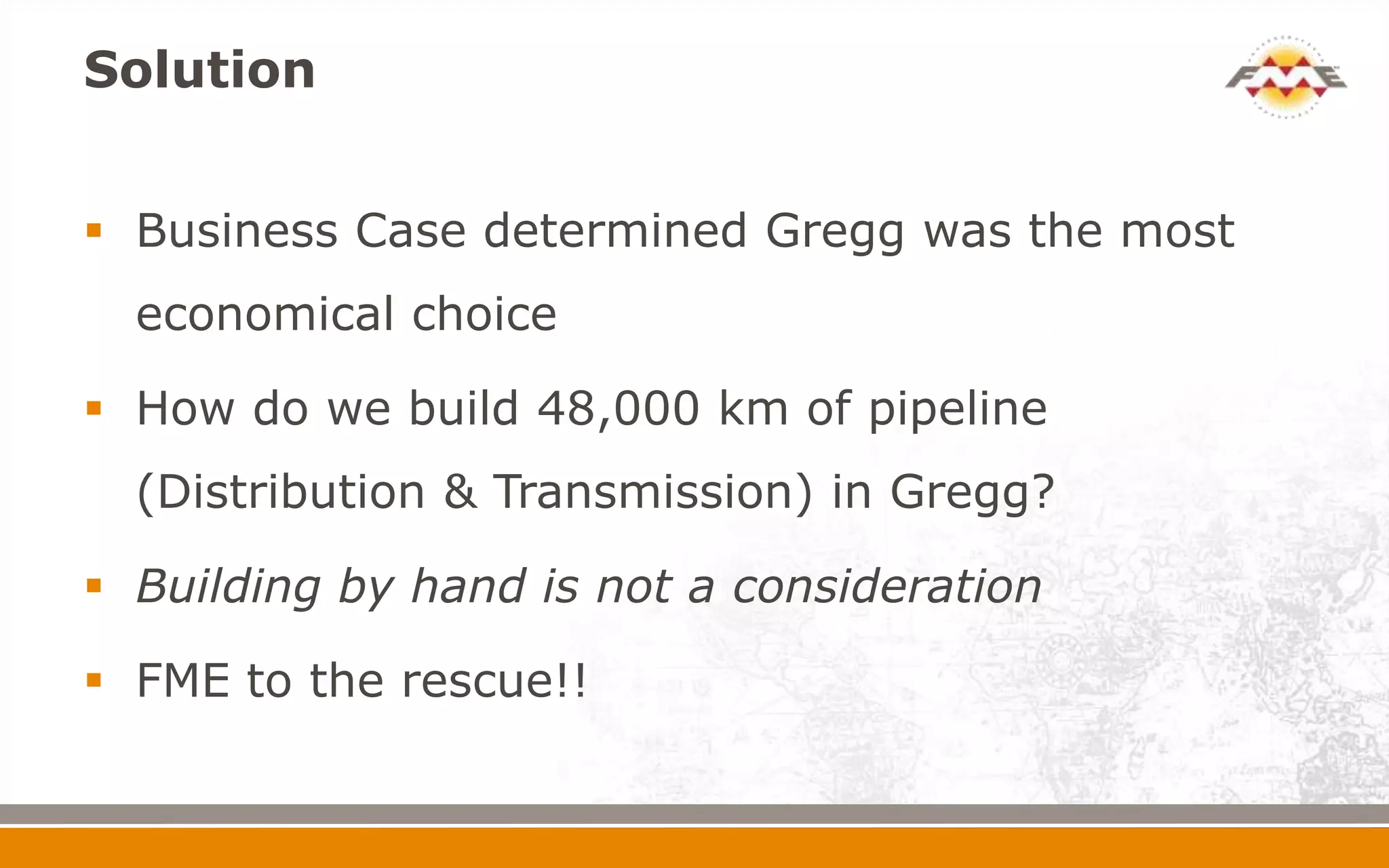

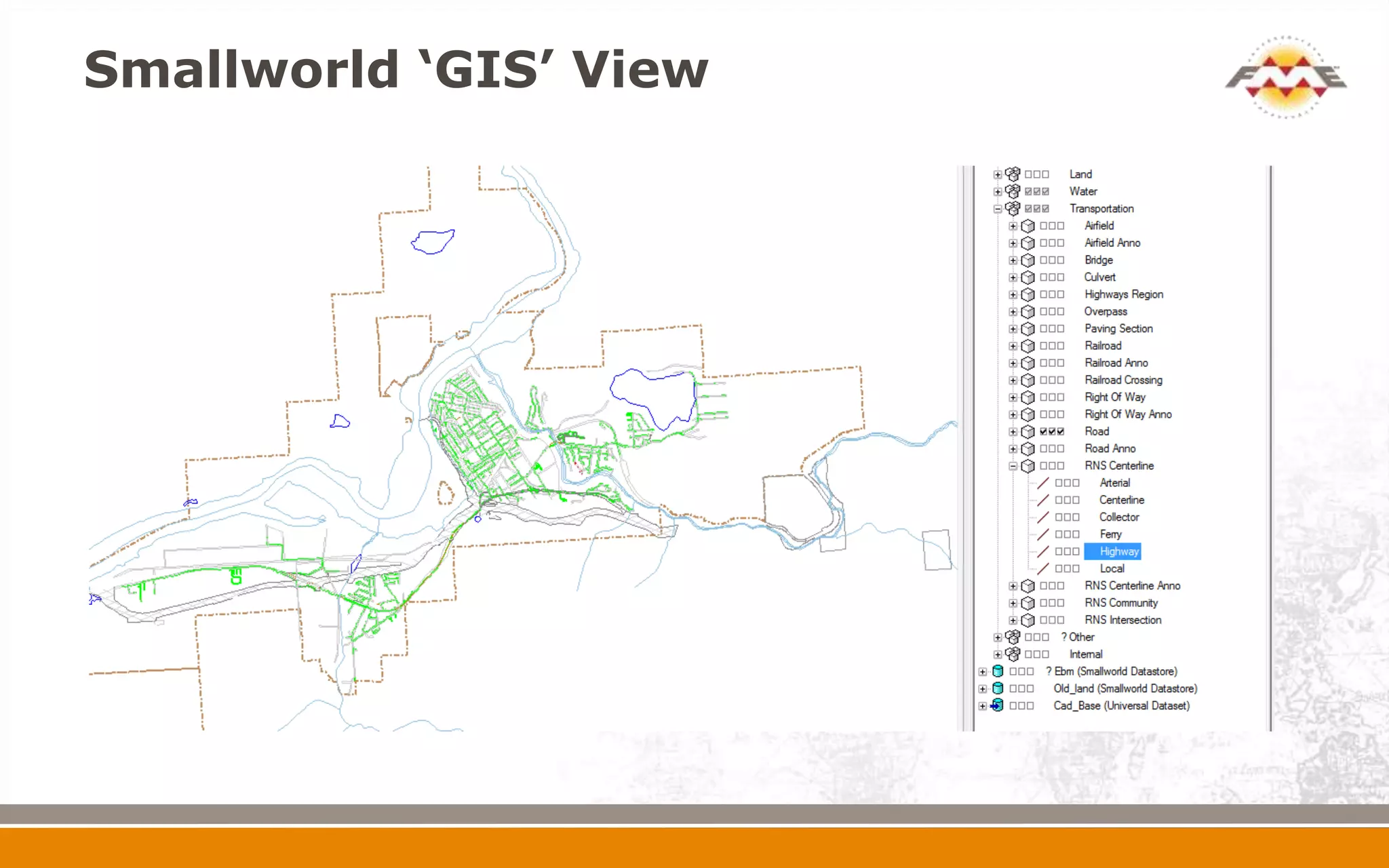
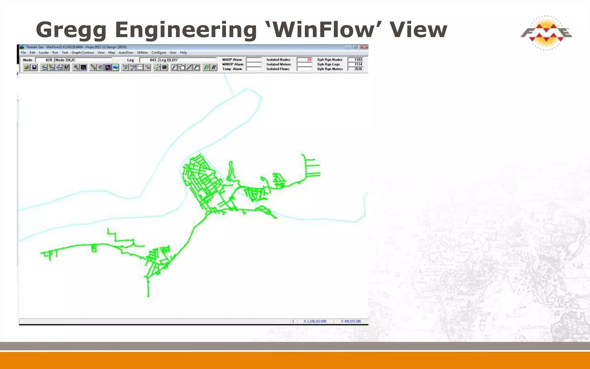
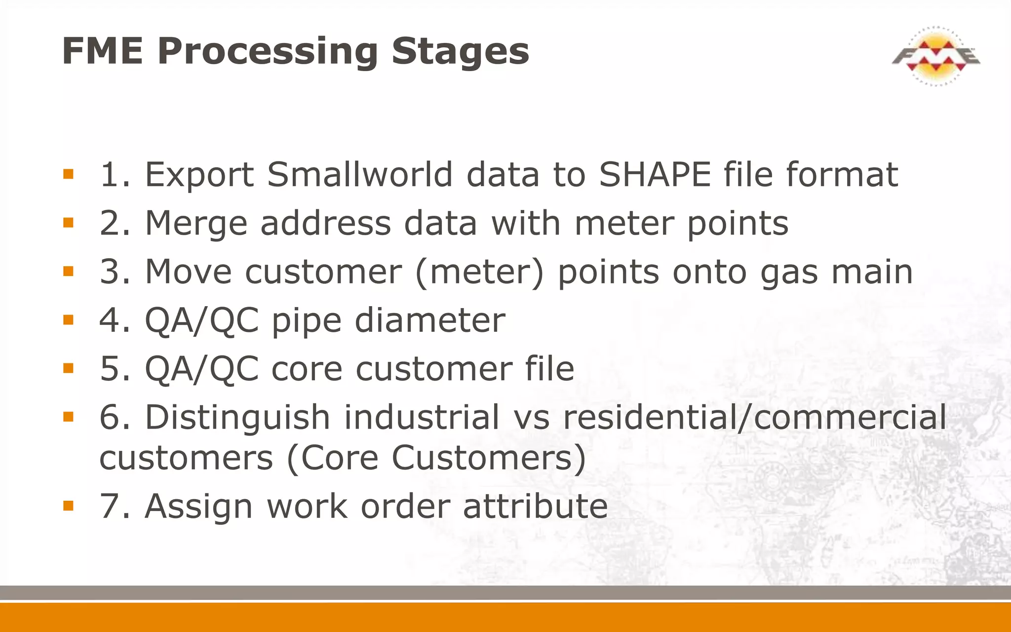
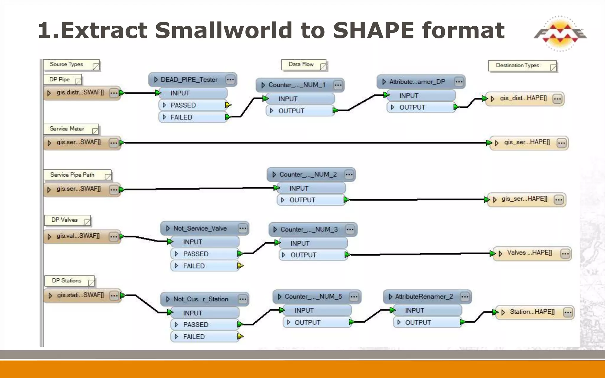
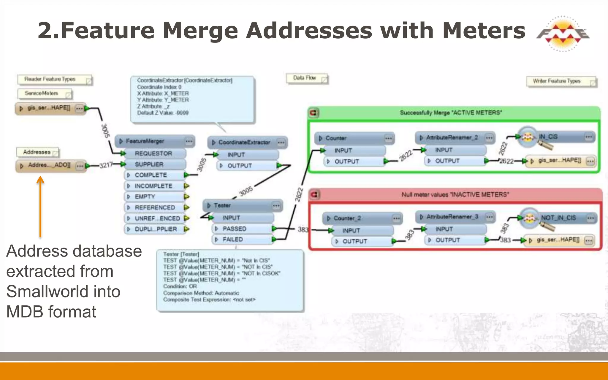
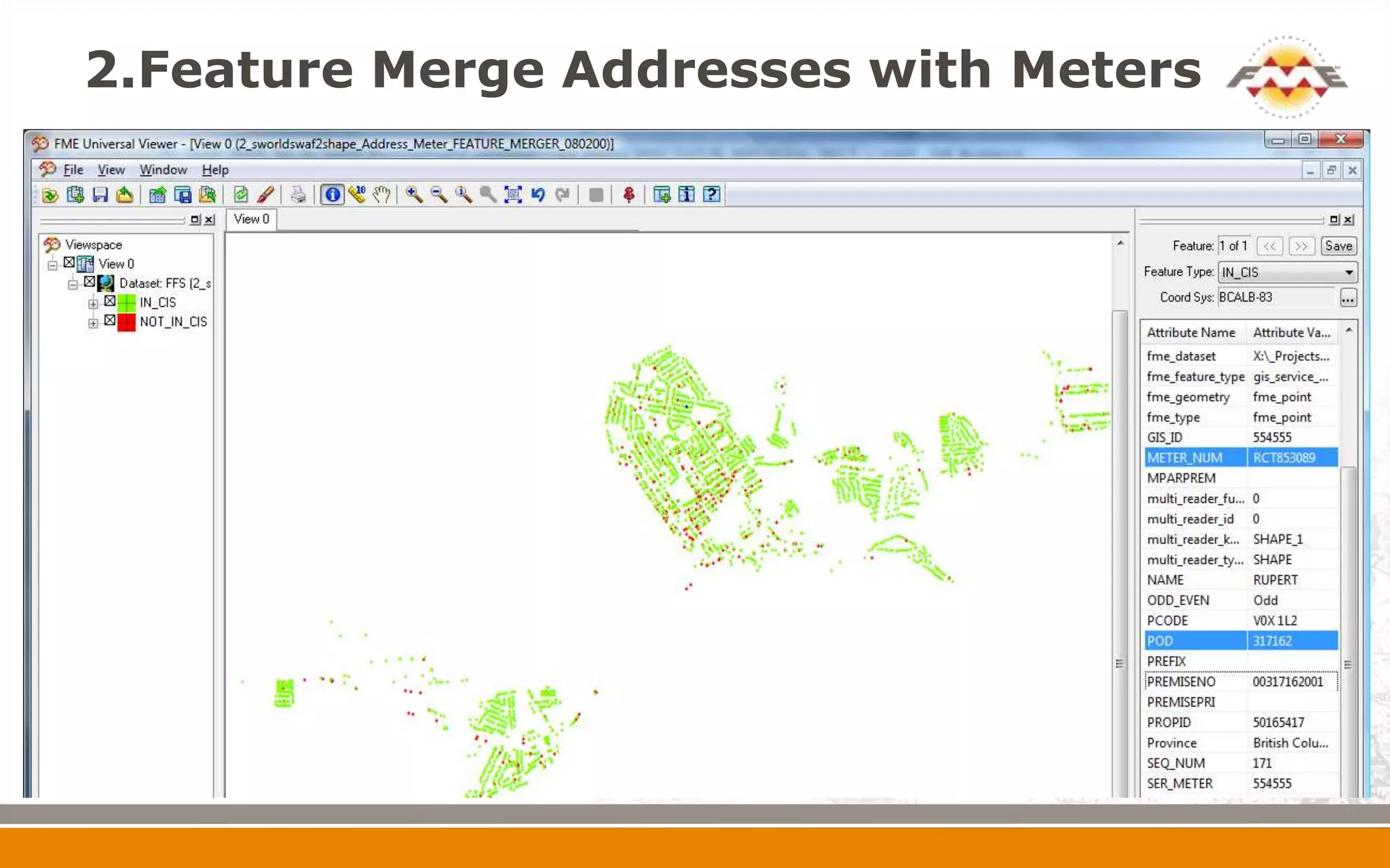
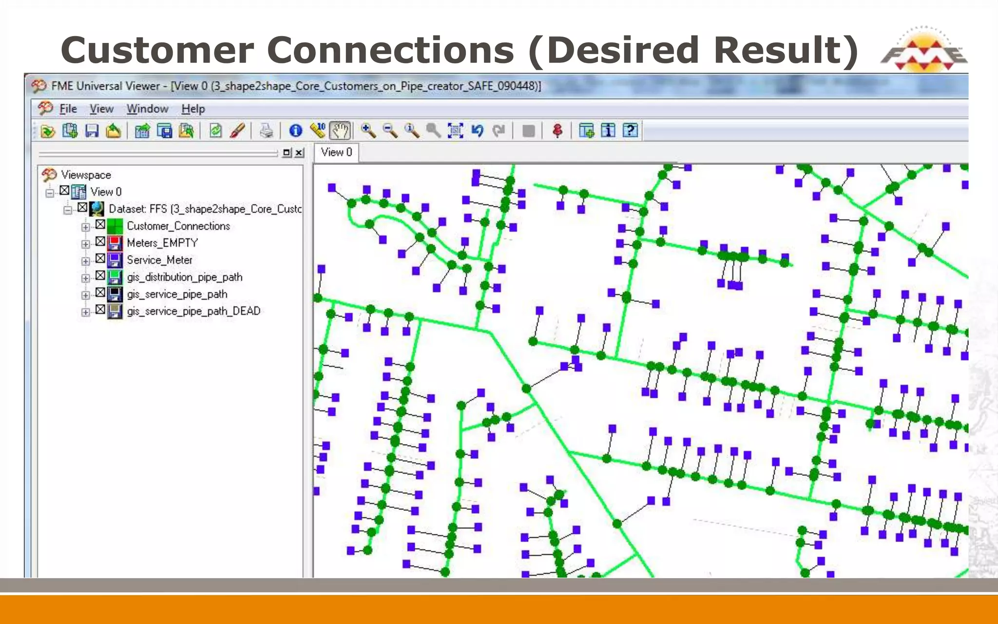
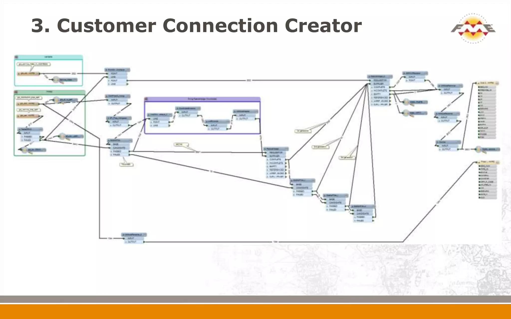
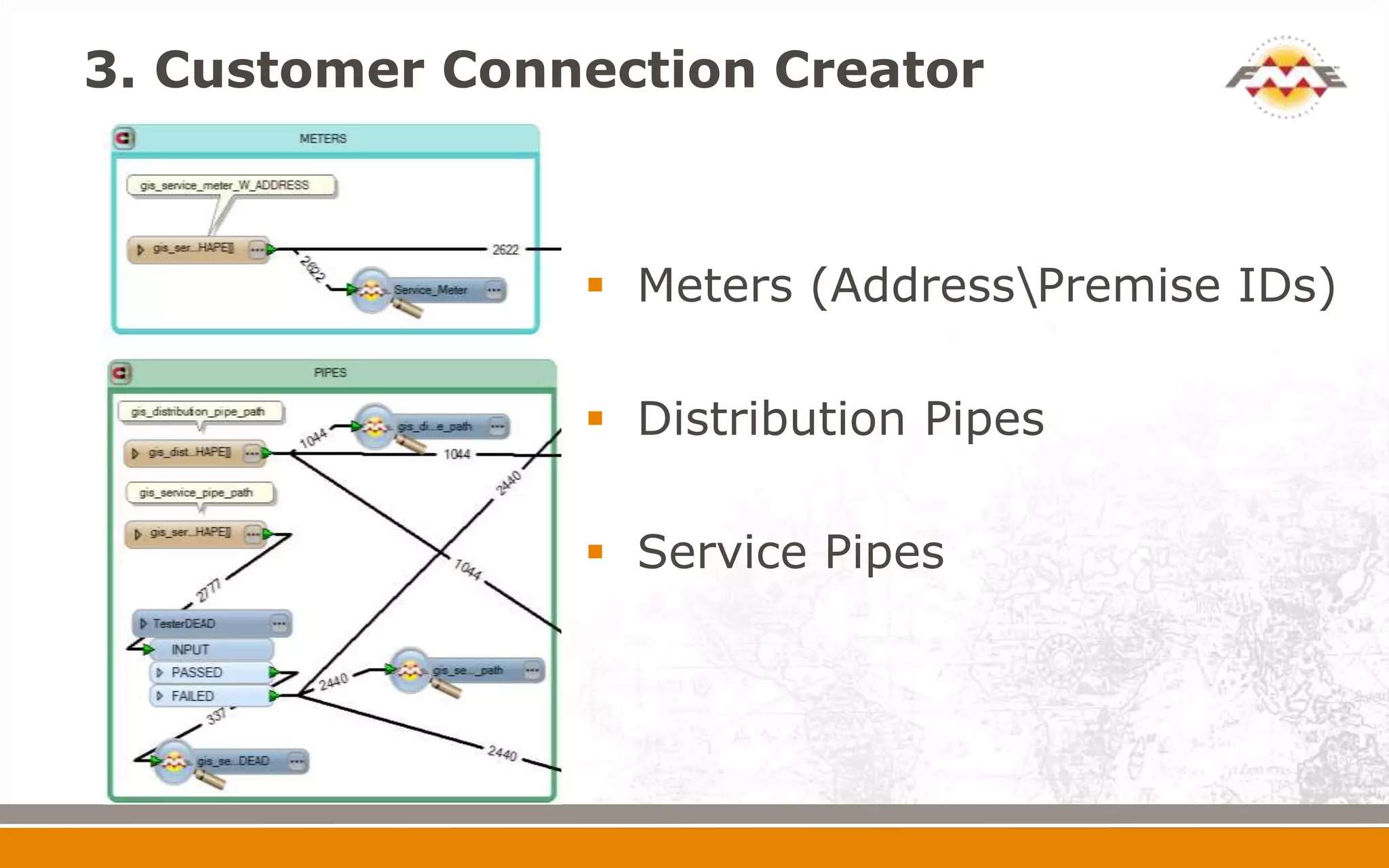
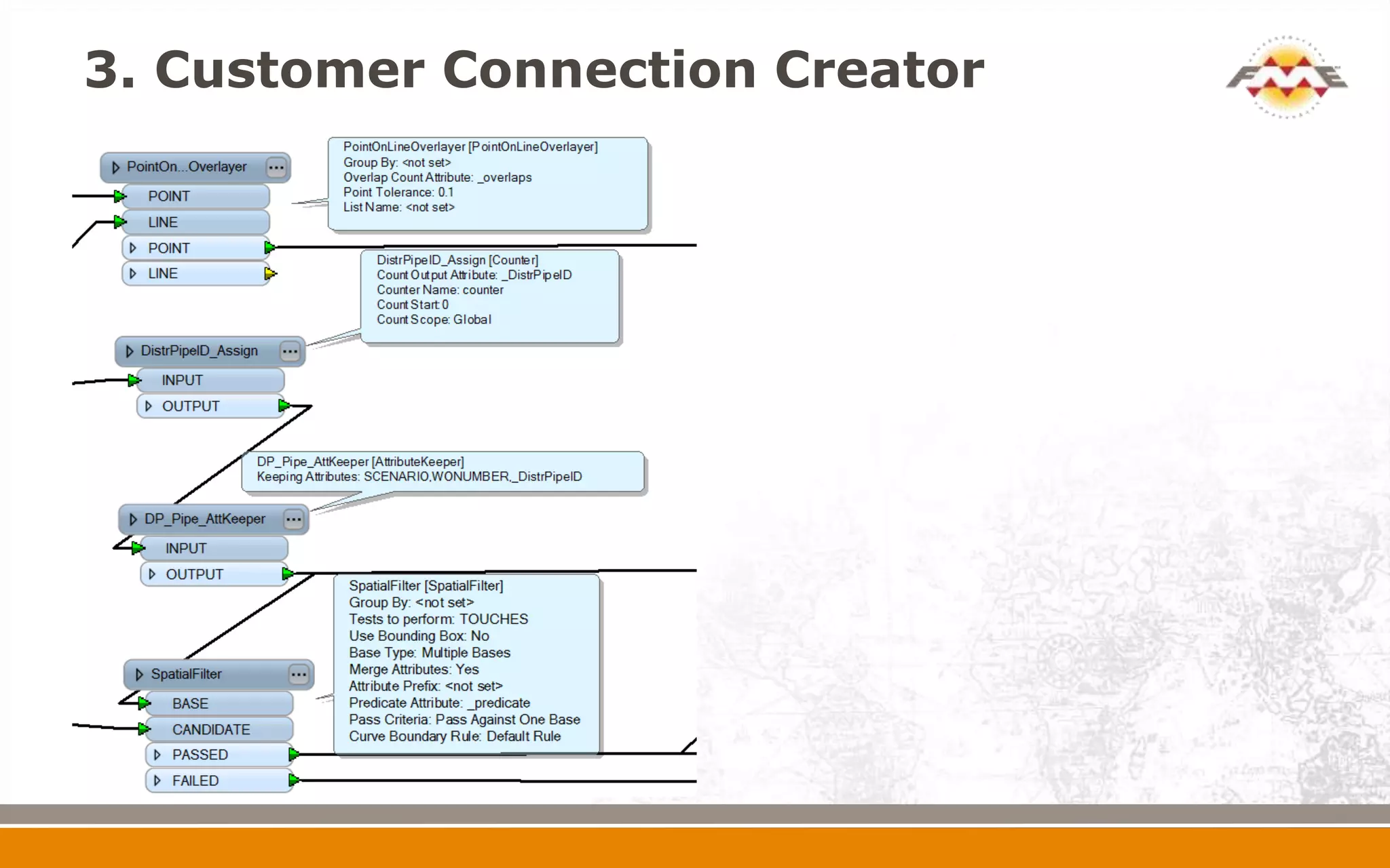
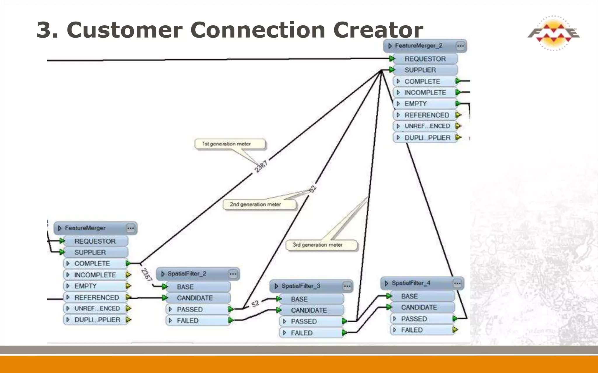
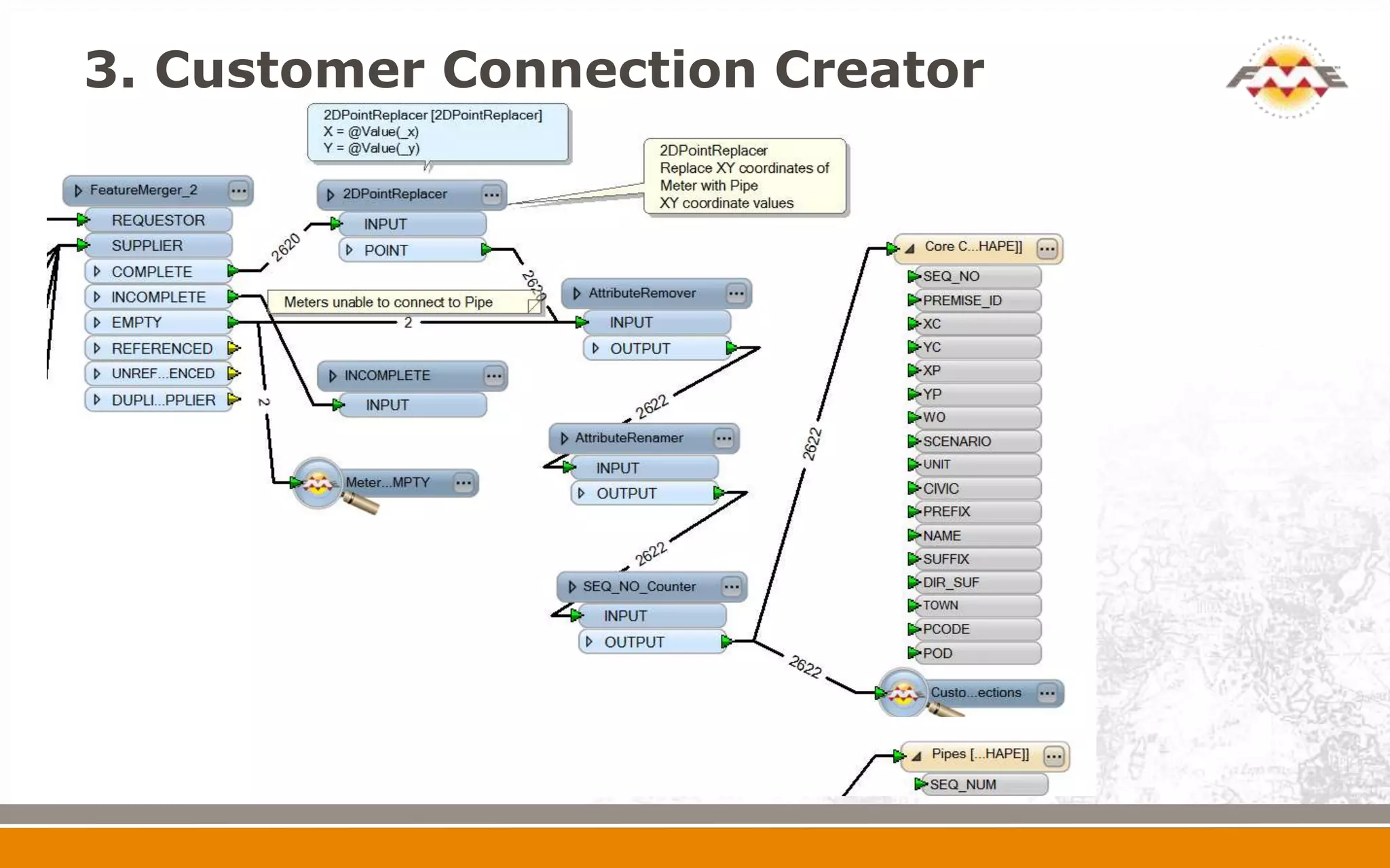
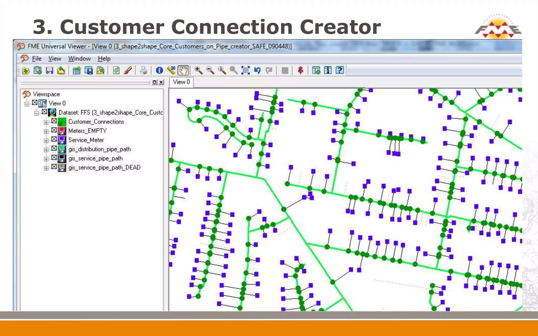
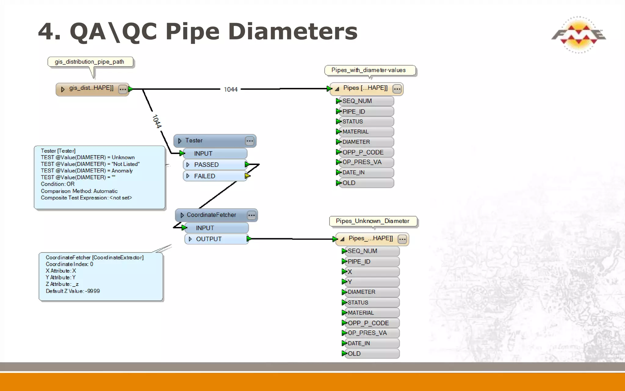
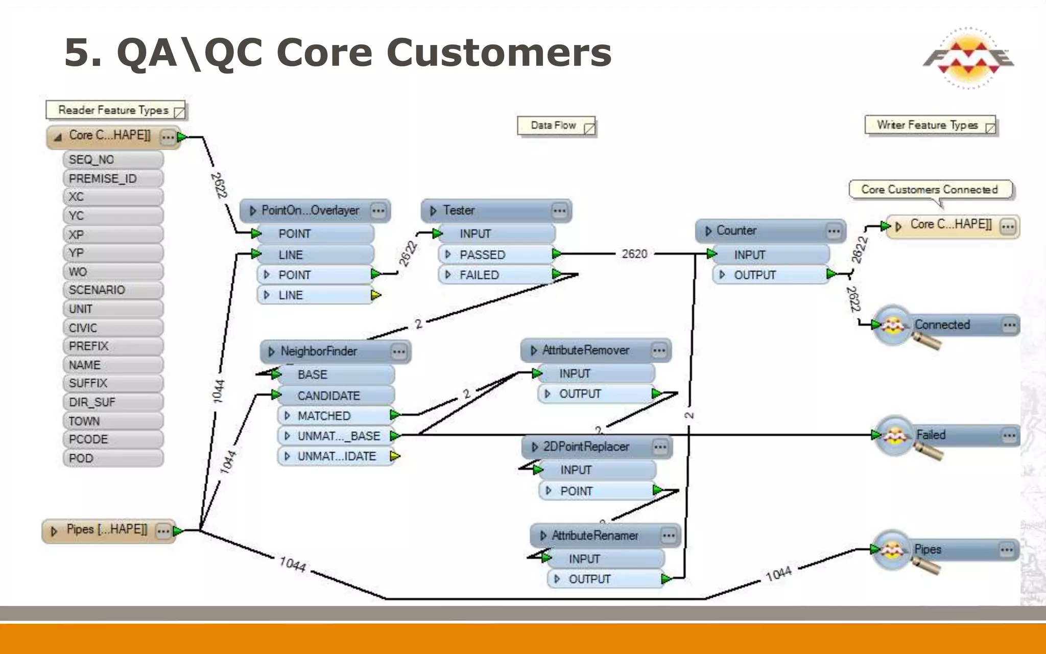
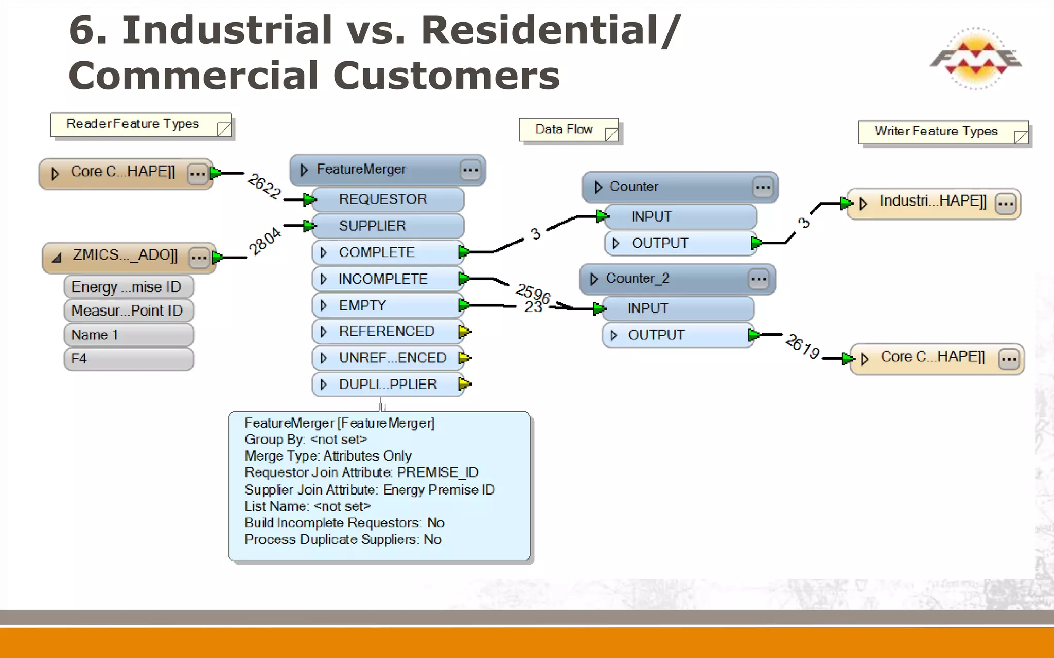
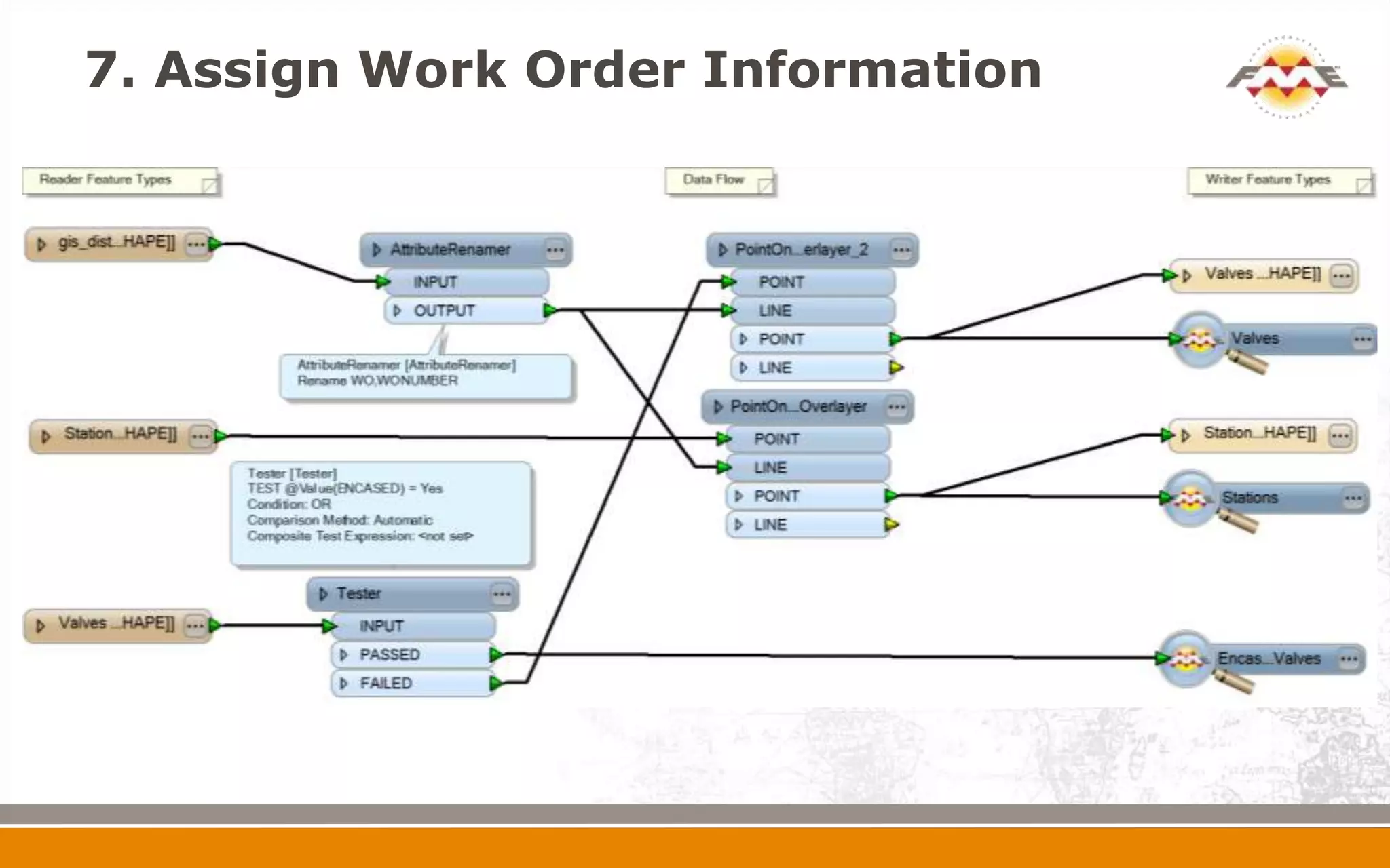
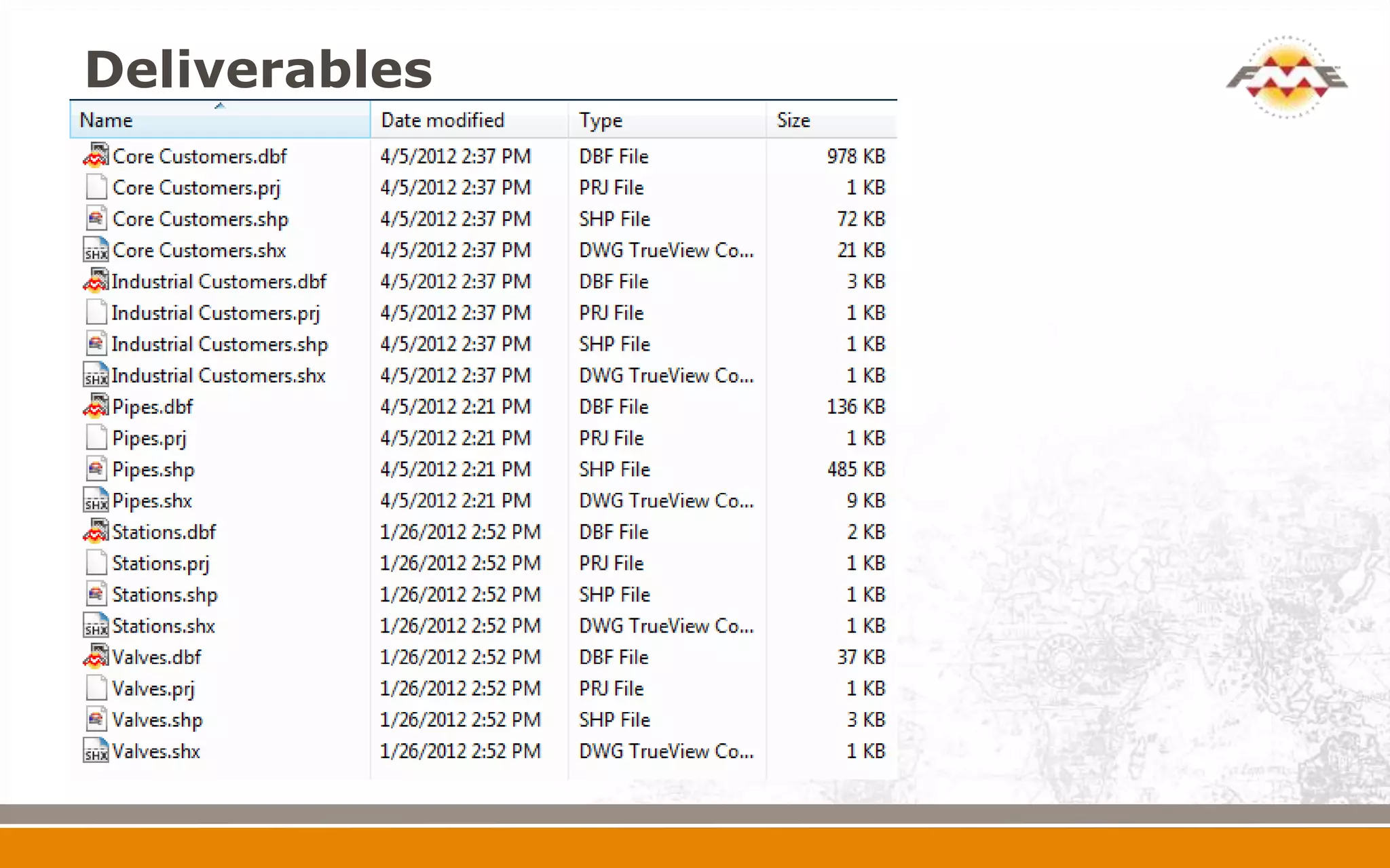
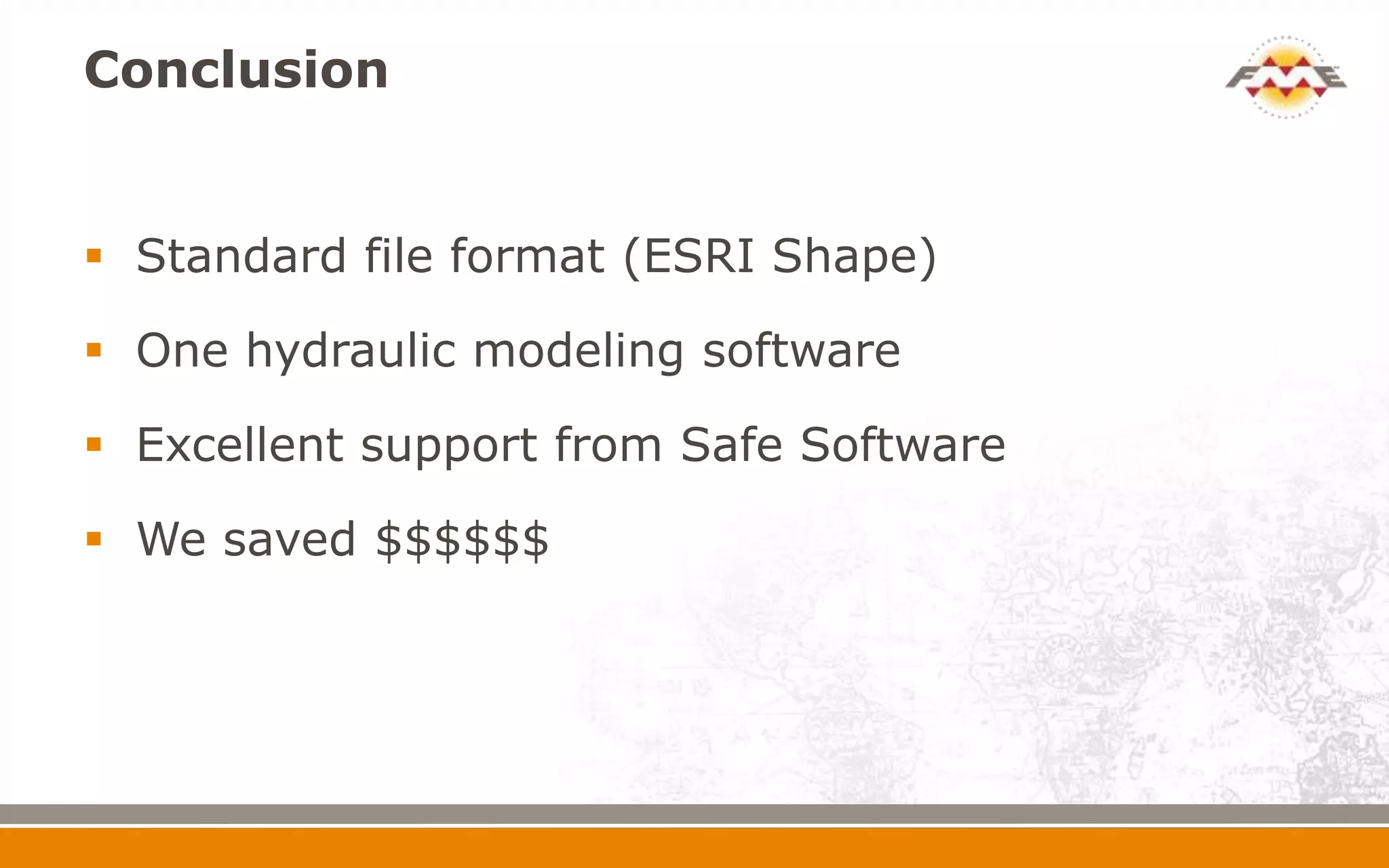


The document outlines FortisBC's hydraulic modeling efforts using GIS data for system capacity planning, detailing the necessity of software like Synergee and Gregg for pipeline management. It describes the process of data extraction and merging, which incorporates customer information with pipeline data to streamline operations and enhance planning efficiency. Future plans include automating these processes to facilitate self-service options for system planners.


