Download to read offline


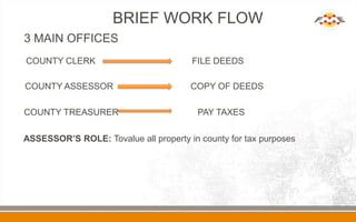

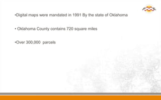
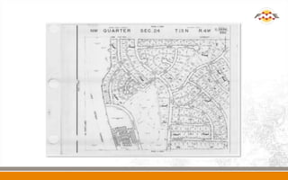

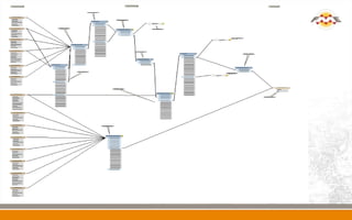
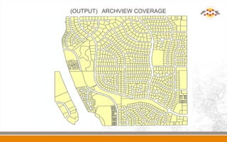
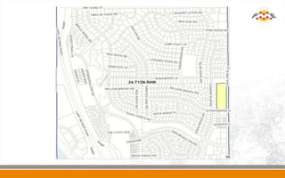


The document details the Oklahoma County Assessor's Office's transition to digital parcel data for enhanced public accessibility. It highlights the assessor's role in valuing property for tax purposes and notes the mandate for digital maps established in 1991. The county spans 720 square miles with over 300,000 parcels documented.


