Downloaded 11 times

![Precise land surveys depend on three fundamentals:
[1] The determination of distances.
[2] The determination of elevation.
[3] The measurement of angles.
Which of the three operations you perform first — or at all — depends on
the particular surveying problem at hand.
In the following sections I'll describe all three fundamentals of surveying
as they might be carried out on the homestead. The more complex
instruments needed for such work can be borrowed or rented from
colleges, state agriculture departments, or blueprint companies (which
supply professional surveyors). Other items can be bought inexpensively or
improvised at home.
How to Survey Land](https://image.slidesharecdn.com/hatchandhatch-160113044127/85/How-to-Survey-Land-2-320.jpg)
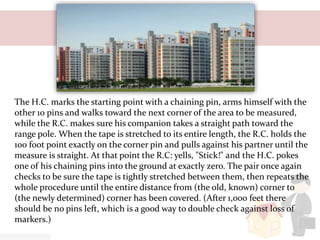
![The Measurement of Land Distance
To determine distances
accurately when fencing — for
example, or laying out garden
lots of equal area — you'll need
the following equipment:
[1] A set of 11 chaining pins.
These can be made from coat
hanger wire.](https://image.slidesharecdn.com/hatchandhatch-160113044127/85/How-to-Survey-Land-3-320.jpg)
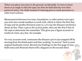
![[2] A 100-foot steel or metallic woven tape. George Washington did his
surveying with a chain probably, a 66 foot Gunter's chain and the modern
version is, accordingly, called a steel chaining tape. You might substitute 100
feet of rope marked off in feet, with the first foot divided into tenths. Be
precise!
[3] Two range poles (any stick about seven feet long will do).
[4] A plumb bob on a string.
[5] Pencil and field notebook (found at college bookstores and blueprint
companies) to record your notes. As an alternative, use two pieces of lined
paper prepared (both pages have about 25 lines). The first page should be
headed with a legal description of the land to be surveyed, and its six
columns used to record numerical data such as distances between points,
elevations from range pole readings, and angles turned between points on
the transit. The top of the second page bears the names of the persons doing
the surveying, the date, and a note on the weather. The rest of the sheet is
used for illustration. A sketch map should be included to give an aerial view
of the tract, with arrows indicating north and south and labels showing
points, fences, roads, and other features.](https://image.slidesharecdn.com/hatchandhatch-160113044127/85/How-to-Survey-Land-4-320.jpg)


The document outlines the three fundamentals of land surveying: determining distances, elevations, and angles. It provides detailed instructions on measuring land accurately using essential tools and techniques, including chaining pins, steel tapes, and range poles. The text emphasizes the importance of precise measurements and proper recording methods for successful surveying.


