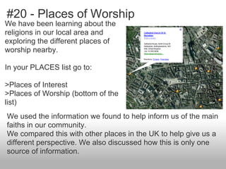
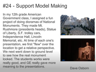
Download to read offline
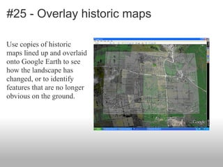

This document provides 25 tips for using Google Earth in the classroom, as shared by various educators. Some of the tips include using Google Earth to look at field trip locations before visiting; embedding videos and media into placemarks; using lines and paths to measure distances; slowing down the zoom speed to allow more time to observe details; and overlaying historic maps to see landscape changes over time. The tips cover uses in various subjects from science to literature to history. The document encourages sharing additional tips on how Google Earth can be utilized as an educational tool.


![5G Explained! A High Level Overview [Introduction]](https://cdn.slidesharecdn.com/ss_thumbnails/5gexplainedahighleveloverview-260119165306-cc137a3e-thumbnail.jpg?width=640&height=640&fit=bounds)


