

![Hyogo Framework for Action
Global Platform for Disaster
Reduction
Global Risk Forum, DAVOS
Citizens as Sensors
[Goodchild]
“Disaster Relief 2.0”, UN
Foundation, Vodaphone
Foundation, Harvard
Humanitarian Initiative,
OCHA
Onegeology
International Conference on
Early Warning
Natural hazards in the web age](https://image.slidesharecdn.com/elenarapisardixxvii-120209063244-phpapp02/85/Geodata4All-8-320.jpg)
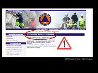
![Actions | Crisis mapping
Relief Bodies | COC Mulazzo
Manual Mapping [Maps set up by Antonio Campus COI Bassa Val di Cecina]](https://image.slidesharecdn.com/elenarapisardixxvii-120209063244-phpapp02/85/Geodata4All-17-320.jpg)
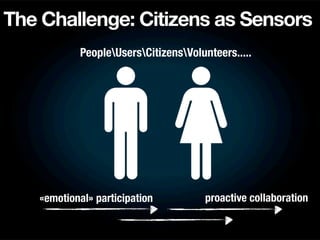
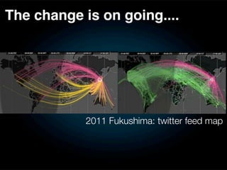
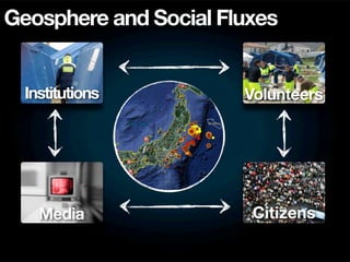
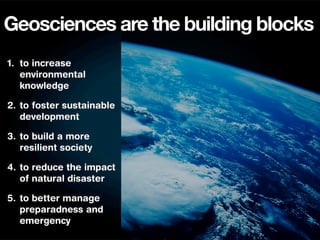
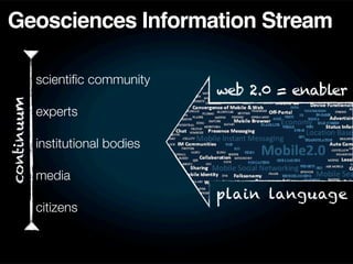
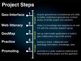
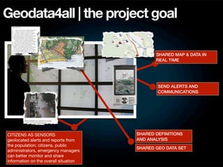


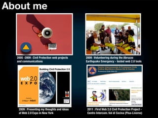
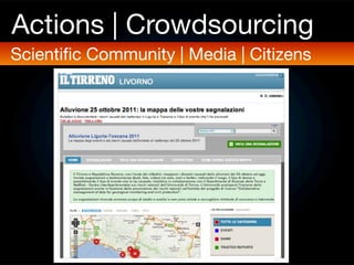
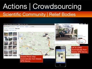
The document discusses using web 2.0 tools to improve collaboration and information sharing for disaster risk reduction and civil protection. It notes that citizens can act as sensors by sharing geolocated alerts and reports, which can help monitor situations. The proposed doctoral project aims to set up a web/mobile application called Geodata4all to create a shared map where different groups can collaborate by exchanging data, knowledge, and analysis in real time. This could include sending alerts and communications. The goal is to foster more resilient communities through open sharing of geoscience information.


![Building Civil Protection 2.0 [updated]](https://cdn.slidesharecdn.com/ss_thumbnails/1601erapisardi3-100117153246-phpapp02-thumbnail.jpg?width=640&height=640&fit=bounds)


