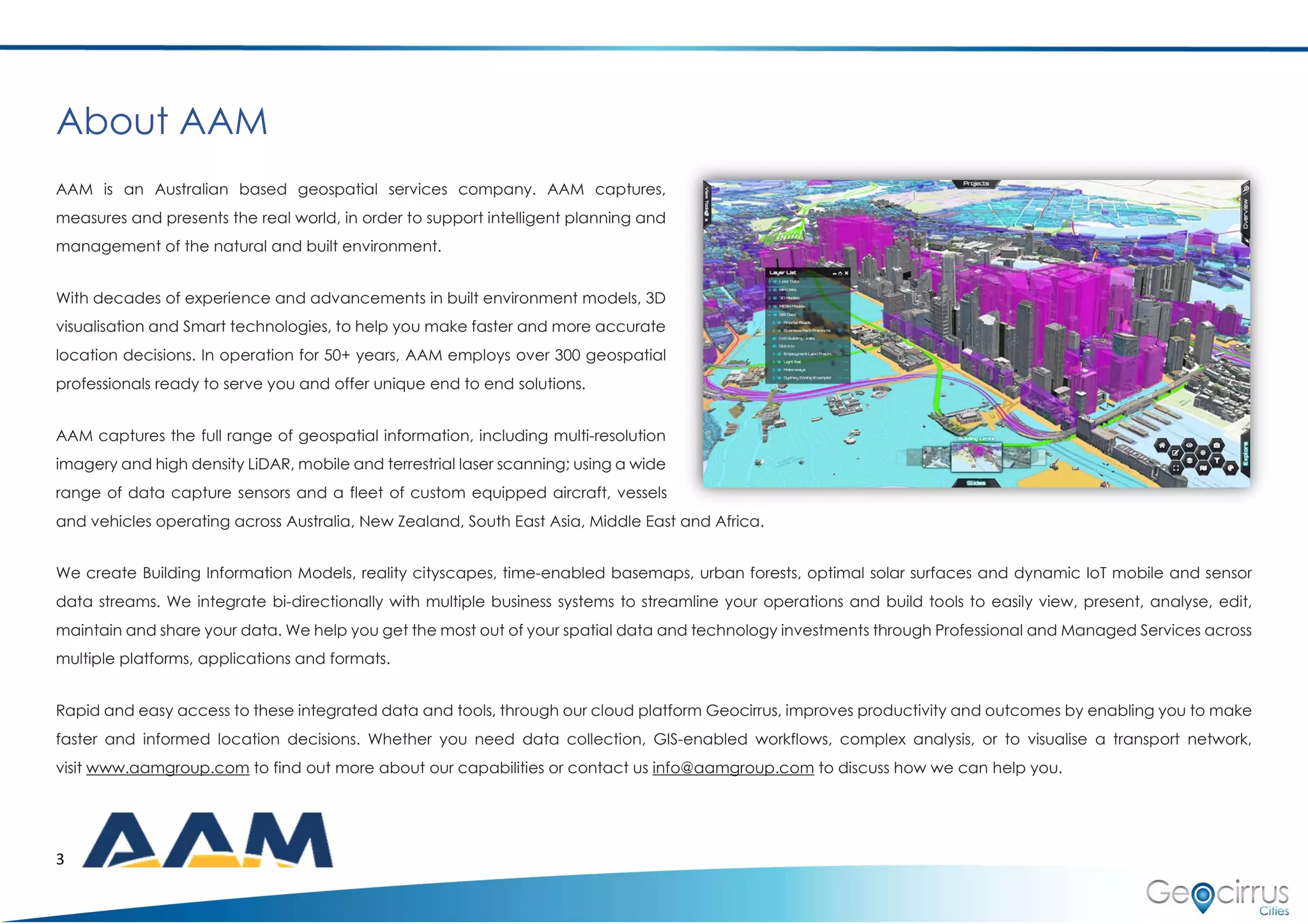
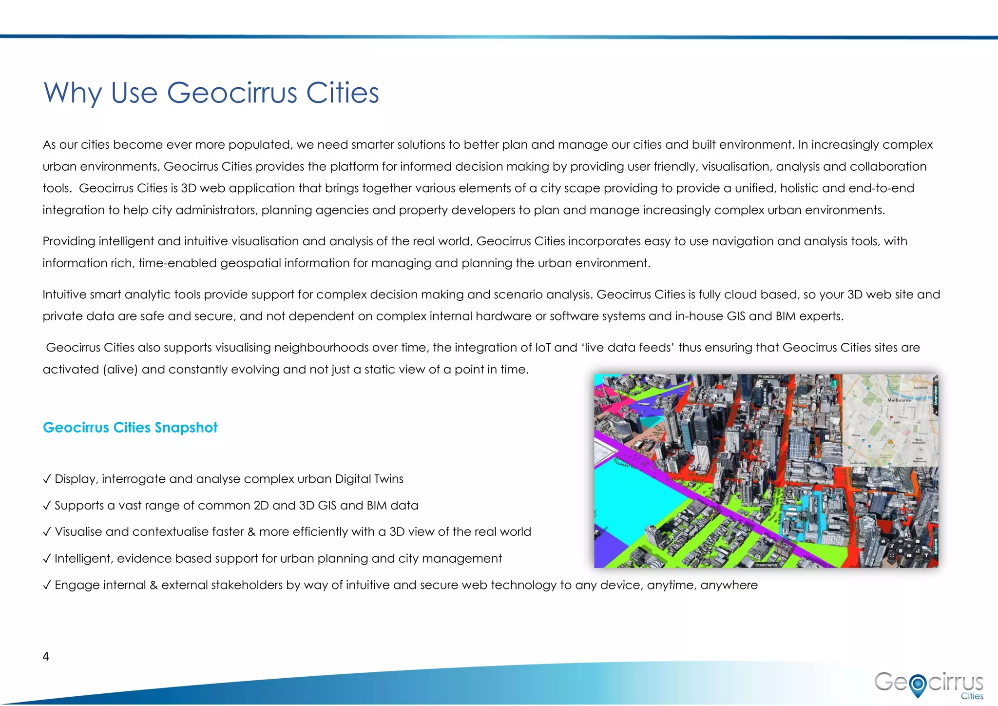
AAM is an Australian geospatial services company that captures and presents geospatial data to support planning and management. Their Geocirrus Cities platform is a 3D web application that integrates various urban data like imagery, LiDAR, and BIM models to enable intuitive visualization and analysis for city planning. It is cloud-based, easy to use, and supports collaboration. Geocirrus Cities can display 3D urban models and contextualize data for efficient decision making. It also allows engagement with stakeholders through web access to spatial information and tools.