Download to read offline

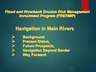
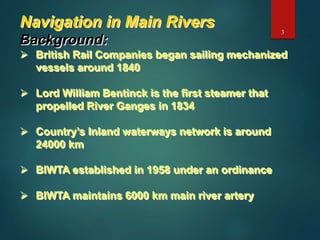
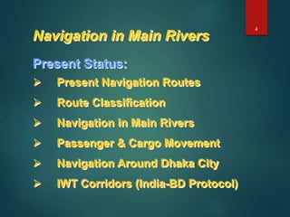
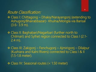
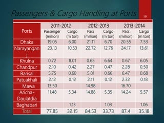

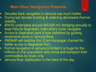
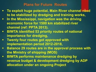
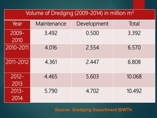
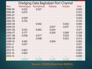
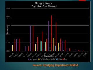
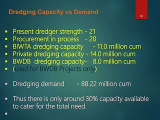
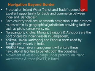
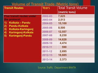
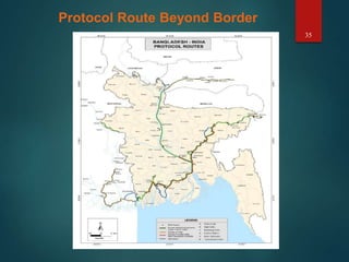


This document discusses navigation in main rivers in Bangladesh and its impact on river management. It provides background on the history of navigation, presents the current status including passenger and cargo movement as well as key routes. It also discusses future prospects such as plans for expanding routes and increasing dredging capacity given the high demand. Navigation beyond borders, including the India-Bangladesh protocol agreement, is also mentioned to facilitate regional inland water transit and trade.


