Download to read offline
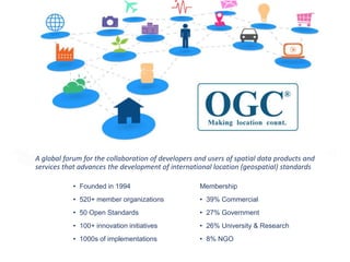
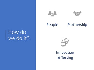

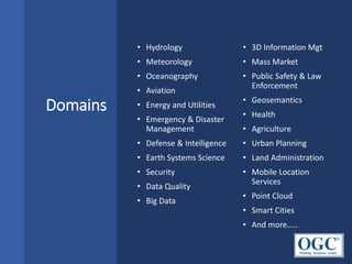
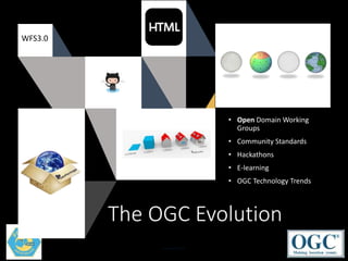


The Open Geospatial Consortium (OGC) is a global forum that advances geospatial standards through collaboration between developers and users of spatial data products and services. It was founded in 1994 and has over 520 member organizations. OGC has established over 50 open standards and supports innovation initiatives to develop and test emerging geospatial technologies. Membership includes commercial organizations, government agencies, universities, and non-governmental organizations. OGC brings people and partners together to develop standards in domains such as hydrology, meteorology, defense, and smart cities. It operates working groups, hackathons, and other programs to drive geospatial standards innovation.


