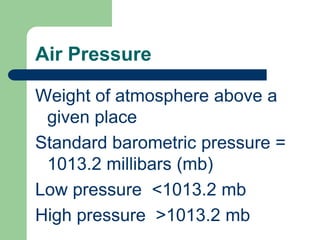
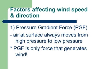
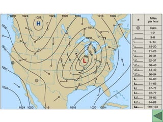
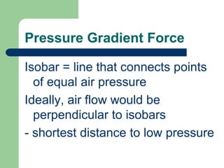
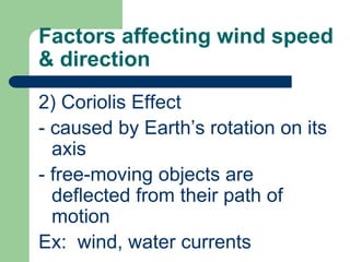
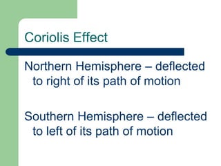
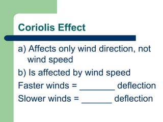
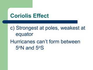
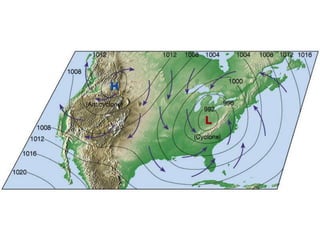
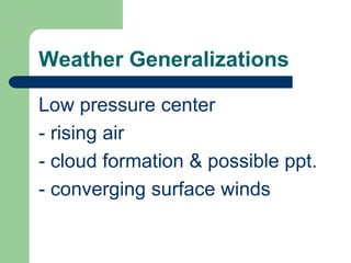
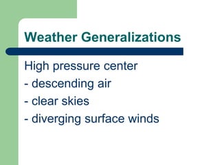
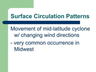
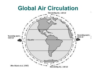
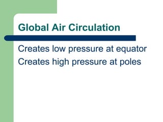
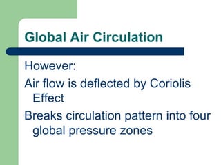
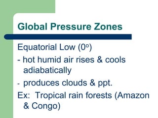
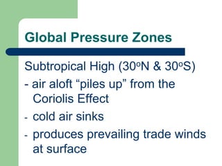
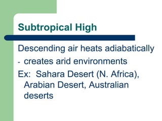
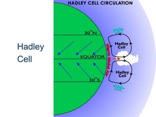
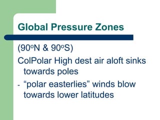
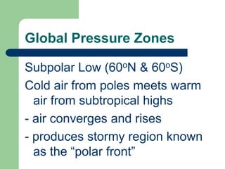
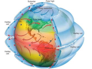
CH. 18 – AIR PRESSURE & WINDS
Air PressureWeight of atmosphere above a given placeStandard barometric pressure = 1013.2 millibars (mb)Low pressure  <1013.2 mbHigh pressure  >1013.2 mb
WindHorizontal movement of air
Factors affecting wind speed & direction1) Pressure Gradient Force (PGF)- air at surface always moves from high pressure to low pressure* PGF is only force that generates wind!
Pressure Gradient Force Caused by the differential heating of Earth’s surface- causes high & low pressure centers to develop
Map w/ isobars
Pressure Gradient ForceIsobar = line that connects points of equal air pressureIdeally, air flow would be perpendicular to isobars- shortest distance to low pressure
Pressure Gradient ForceSpacing of isobars indicates gradientGradient = change in pressure over certain distance(similar to “slope” of land)
Pressure Gradient ForceSteep gradient = isobars spaced closely together = _______ wind speedWeak gradient = widely spaced isobars = _______ winds
Factors affecting wind speed & direction2) Coriolis Effect- caused by Earth’s rotation on its axis- free-moving objects are deflected from their path of motionEx:  wind, water currents
Coriolis Effect
Coriolis EffectNorthern Hemisphere – deflected to right of its path of motionSouthern Hemisphere – deflected to left of its path of motion
Ocean circulation
Coriolis Effecta) Affects only wind direction, not wind speedb) Is affected by wind speedFaster winds = _______ deflectionSlower winds = ______ deflection
Coriolis Effectc) Strongest at poles, weakest at equatorHurricanes can’t form between 5oN and 5oS
Factors affecting wind speed & direction3) FrictionImportant only w/in a few km of Earth's surface- slows wind speed & reduces Coriolis Effect
FrictionStrongest over land, weakest over waterQUESTION:Which diagram represents air flow over land?
Surface Circulation PatternsAssociated w/ high & low pressure centersLow pressure center = cycloneAir flow around low pressure = cyclonic air flow
Surface Circulation PatternsHigh pressure center = anticycloneAir flow around high pressure = anticyclonic air flow
Cyclonic/Anticyclonic air winds
Weather GeneralizationsLow pressure center- rising air- cloud formation & possible ppt.- converging surface winds
Weather GeneralizationsHigh pressure center- descending air- clear skies- diverging surface winds
Surface Circulation PatternsMovement of mid-latitude cyclone w/ changing wind directions- very common occurrence in Midwest
Barometric TendencyUsed for short-term weather predictions (several hours ahead)1) Falling – approach of low pressure (clouds)
Barometric Tendency2) Rising – approach of high pressure (clear skies)3) Steady – maintain status quoWeather Proverbs (handout)
Global Air CirculationGeorge Hadley (1735):On a uniform non-rotating Earth:Heated equatorial air risesUpper-level air cools & sinks at poles
Global Air Circulation
Global Air CirculationCreates low pressure at equatorCreates high pressure at poles
Global Air CirculationHowever:Air flow is deflected by Coriolis EffectBreaks circulation pattern into four global pressure zones
Global Pressure ZonesEquatorial Low (0o)- hot humid air rises & cools adiabaticallyproduces clouds & ppt.Ex:  Tropical rain forests (Amazon & Congo)
Global Pressure ZonesSubtropical High (30oN & 30oS)- air aloft “piles up” from the Coriolis Effectcold air sinks
produces prevailing trade winds at surfaceSubtropical HighDescending air heats adiabaticallycreates arid environmentsEx:  Sahara Desert (N. Africa), Arabian Desert, Australian deserts
July temp’s

Ch18_Winds_student