Download to read offline

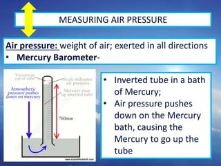
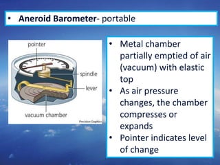
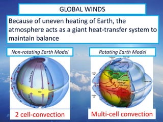
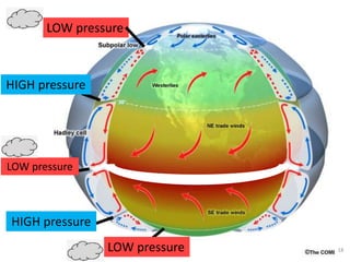
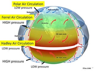
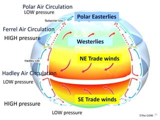
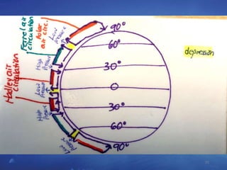
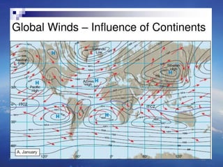
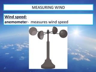
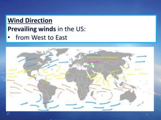
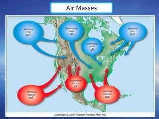
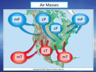
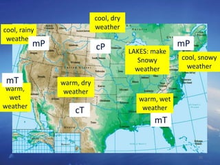
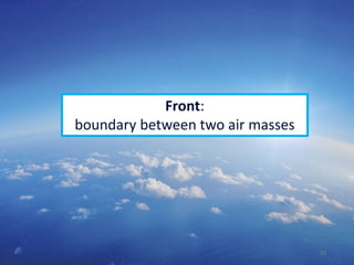
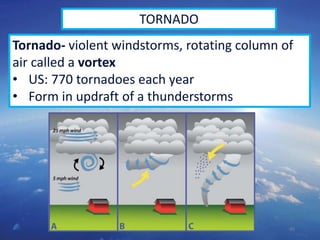
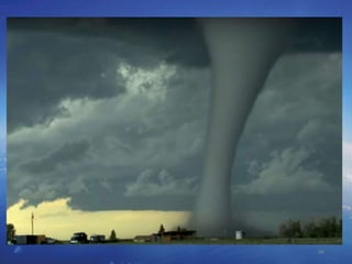
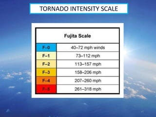
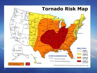
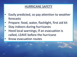
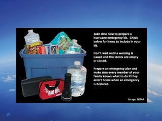
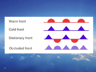

1. The document discusses various methods for measuring weather conditions such as air pressure, wind speed, and direction including mercury barometers, aneroid barometers, electric barometers, and anemometers. 2. It describes global wind patterns including the Hadley cell, Ferrel cell, and polar cell circulation caused by uneven heating of the Earth and the Coriolis effect. 3. Various types of storms are outlined like thunderstorms, tornadoes, and hurricanes explaining how they form from different air mass interactions and safety procedures during severe weather.


