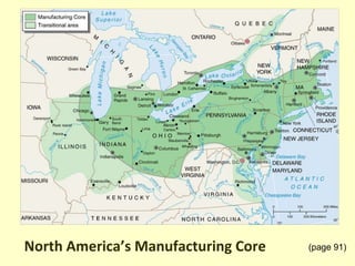
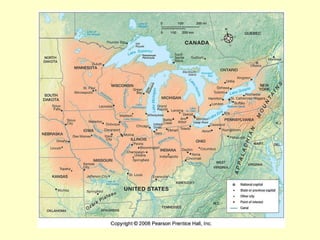
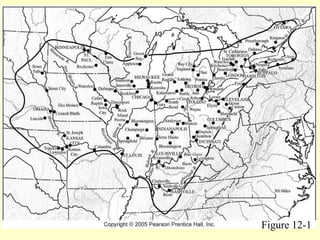
The document summarizes the North American manufacturing core region, which spans the US-Canada border along the Great Lakes and Ohio River Valley. Key aspects include:
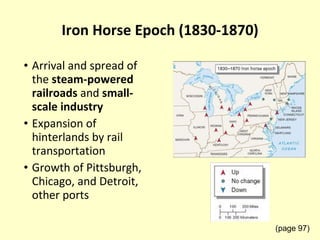
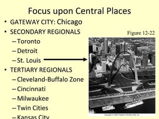
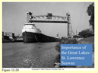
1) The region has high concentrations of manufacturing, centered around major ports and cities like Chicago, Pittsburgh, Detroit, and others.
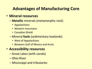
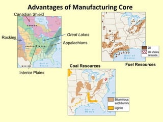
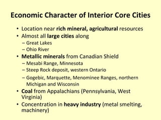
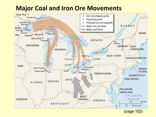
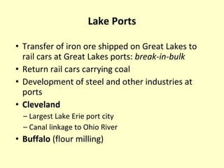
2) Abundant resources like coal, iron ore, and other minerals from areas like the Appalachians and Canadian Shield supported industrial development.
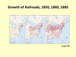
3) Transportation infrastructure like canals and railroads were crucial to the region's growth and connecting resources to major markets.
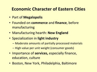
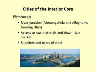
4) Cities in the interior core focused on heavy industry like steel and machinery, while eastern cities specialized more in consumer goods and services.


![Comparing mexico venezuela brazil and cuba[1]](https://cdn.slidesharecdn.com/ss_thumbnails/comparingmexicovenezuelabrazilandcuba1-110208150426-phpapp01-thumbnail.jpg?width=640&height=640&fit=bounds)


