Download to read offline
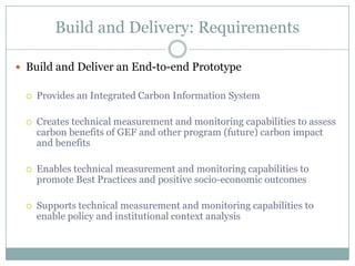
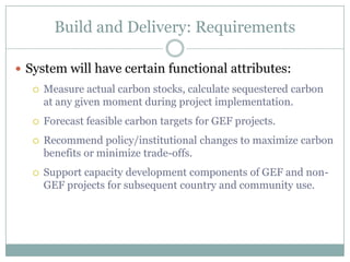

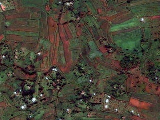
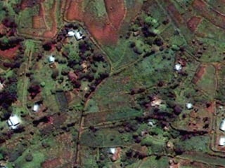
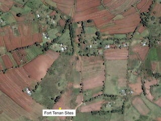
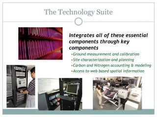
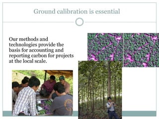
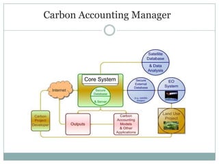
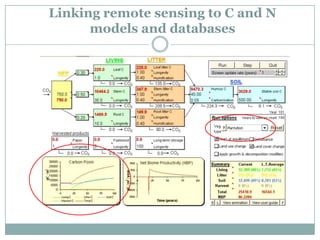
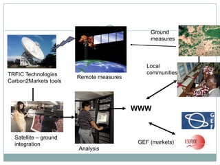
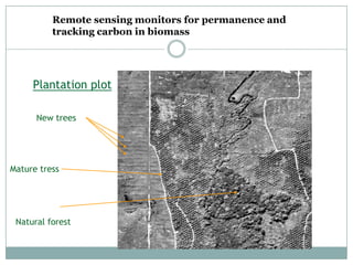
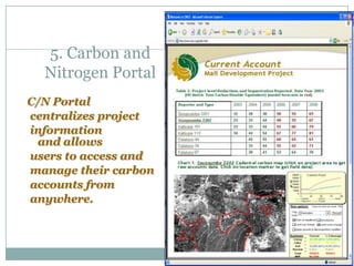
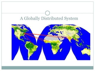
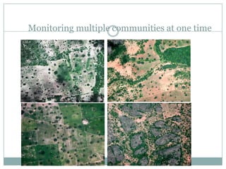
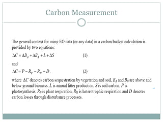
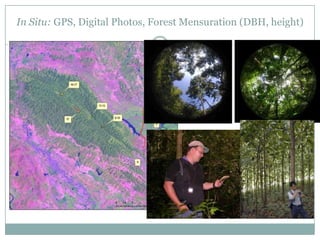
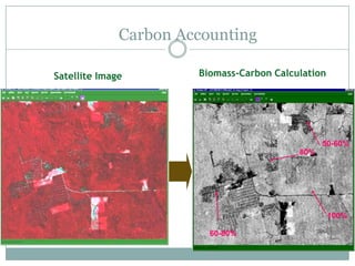
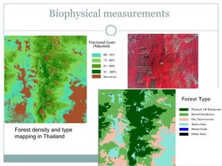
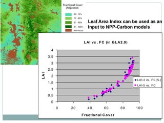


The document discusses building and delivering an integrated carbon information system prototype. It will measure and monitor carbon stocks and benefits of projects to assess impacts, promote best practices, and enable policy analysis. The system will measure carbon sequestration, forecast carbon targets, and recommend policy changes. It will integrate measurement and monitoring methods, including ground sampling, remote sensing, and statistical analysis. The overall aim is to apply technologies to accurately measure land use changes and provide environmental and carbon risk information.


