The document summarizes several of Canada's major physical features:
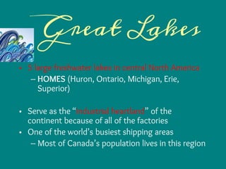
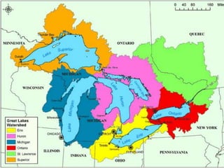
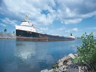
- The Great Lakes region serves as the industrial heartland of North America due to its many factories and is one of the world's busiest shipping areas. Most of Canada's population lives in this region.
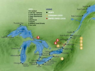
- The St. Lawrence River and Seaway connect the Great Lakes to the Atlantic Ocean and are major shipping routes, though the Seaway closes in winter. Cities along the St. Lawrence River are home to many manufacturers.
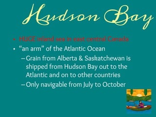
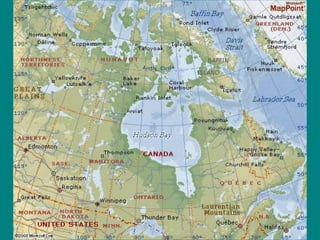
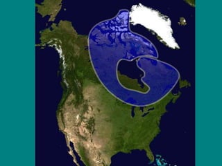
- Hudson Bay is an inland sea in eastern Canada where grain is shipped to the Atlantic Ocean and exported to other countries when navigable in summer months.
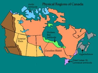
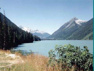
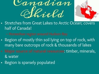
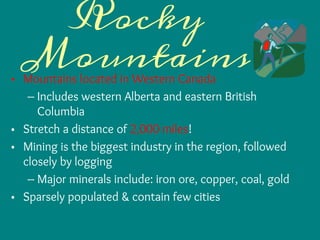
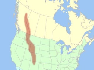
- The Rocky Mountains and Canadian Shield cover large areas of western and central Canada