Downloaded 154 times


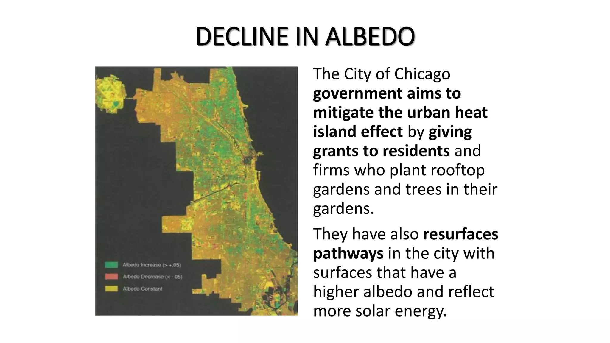


This case study analyzes the urban climate of Chicago, illustrating the urban heat island effect caused by human activities, temperature variations, humidity levels, and precipitation patterns. Factors influencing temperature differences include building materials, urban surfaces, and wind barriers, which create a warmer climate compared to surrounding rural areas. Initiatives like rooftop gardens aim to mitigate the urban heat island effect by promoting vegetation that cools buildings and improves drainage.


