Download to read offline
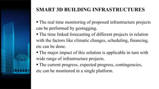
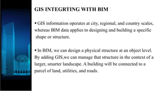
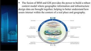
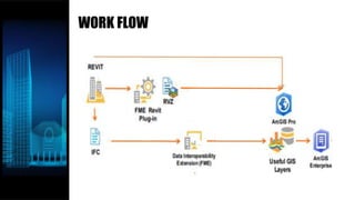
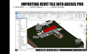
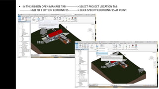
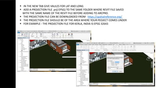
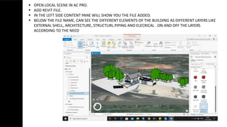
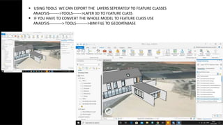
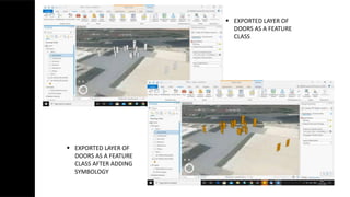
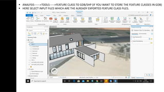
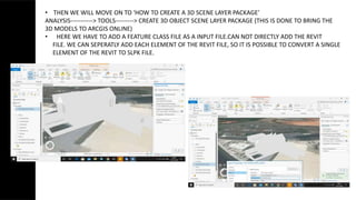
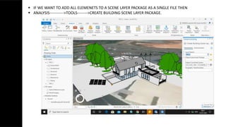
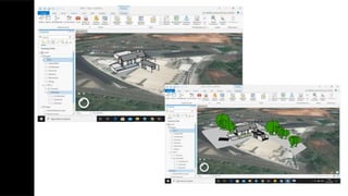
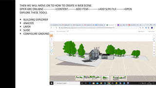
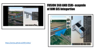
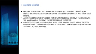

This document discusses integrating building information modeling (BIM) and geographic information system (GIS) data. It explains that merging BIM and GIS data introduces geospatial elements into infrastructure design, allowing for safer and smarter infrastructure projects. The document outlines the workflow for importing a Revit file as a 3D model into ArcGIS Pro, geotagging the model, exporting elements as feature classes, and creating a web scene to analyze the model. Integrating BIM and GIS provides a robust context model where infrastructure design and geographic data are combined for better understanding assets.