Download to read offline
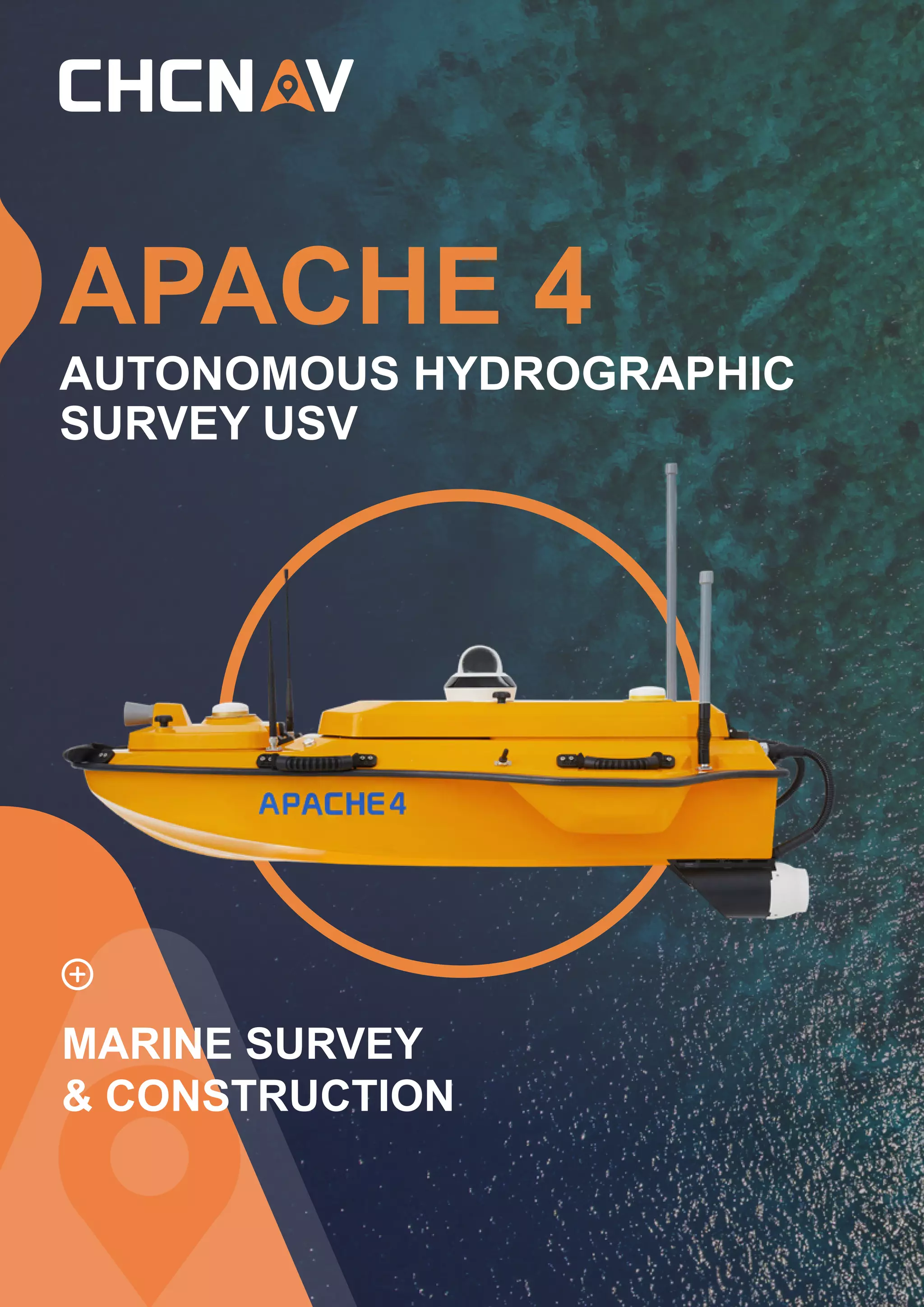
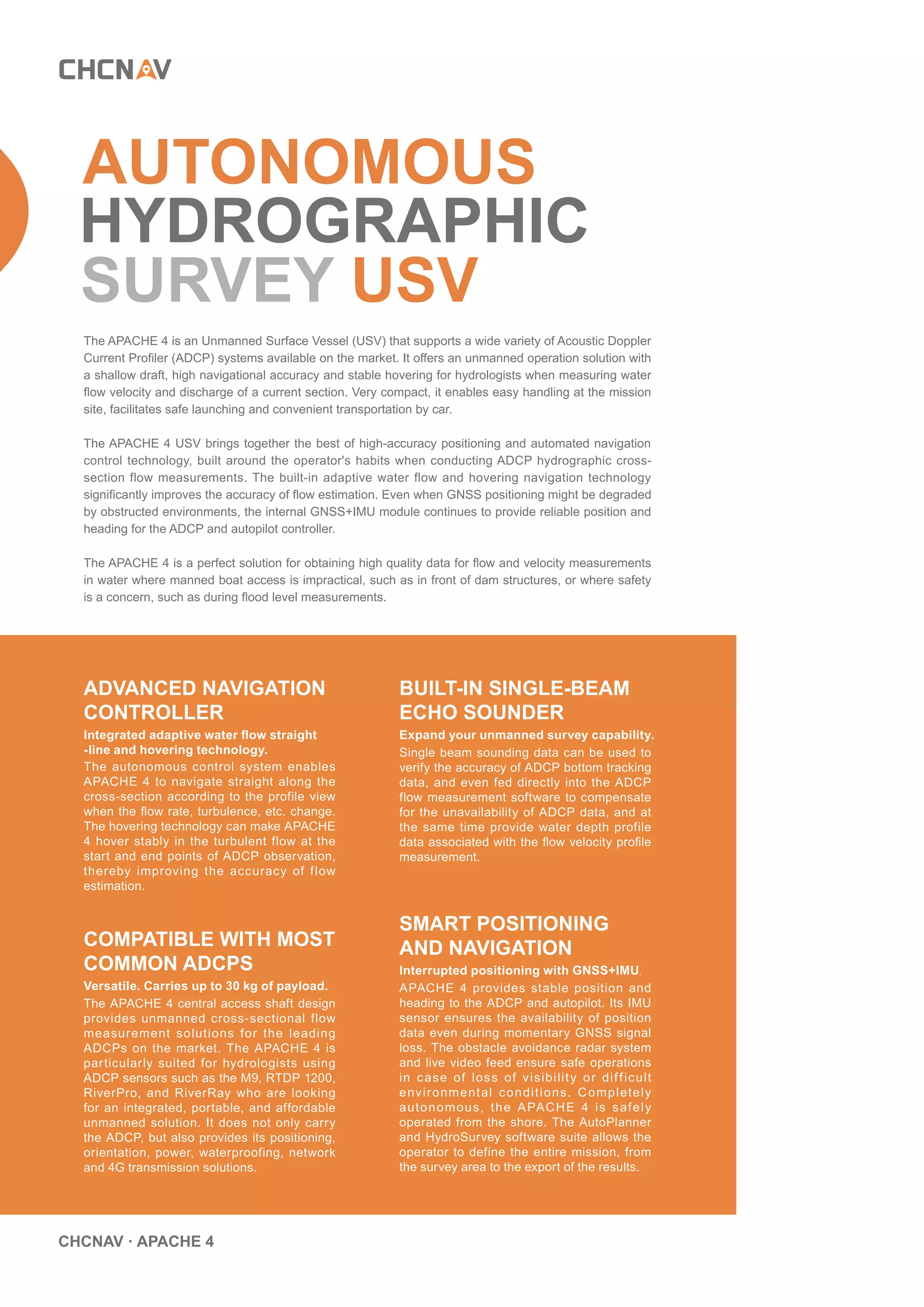
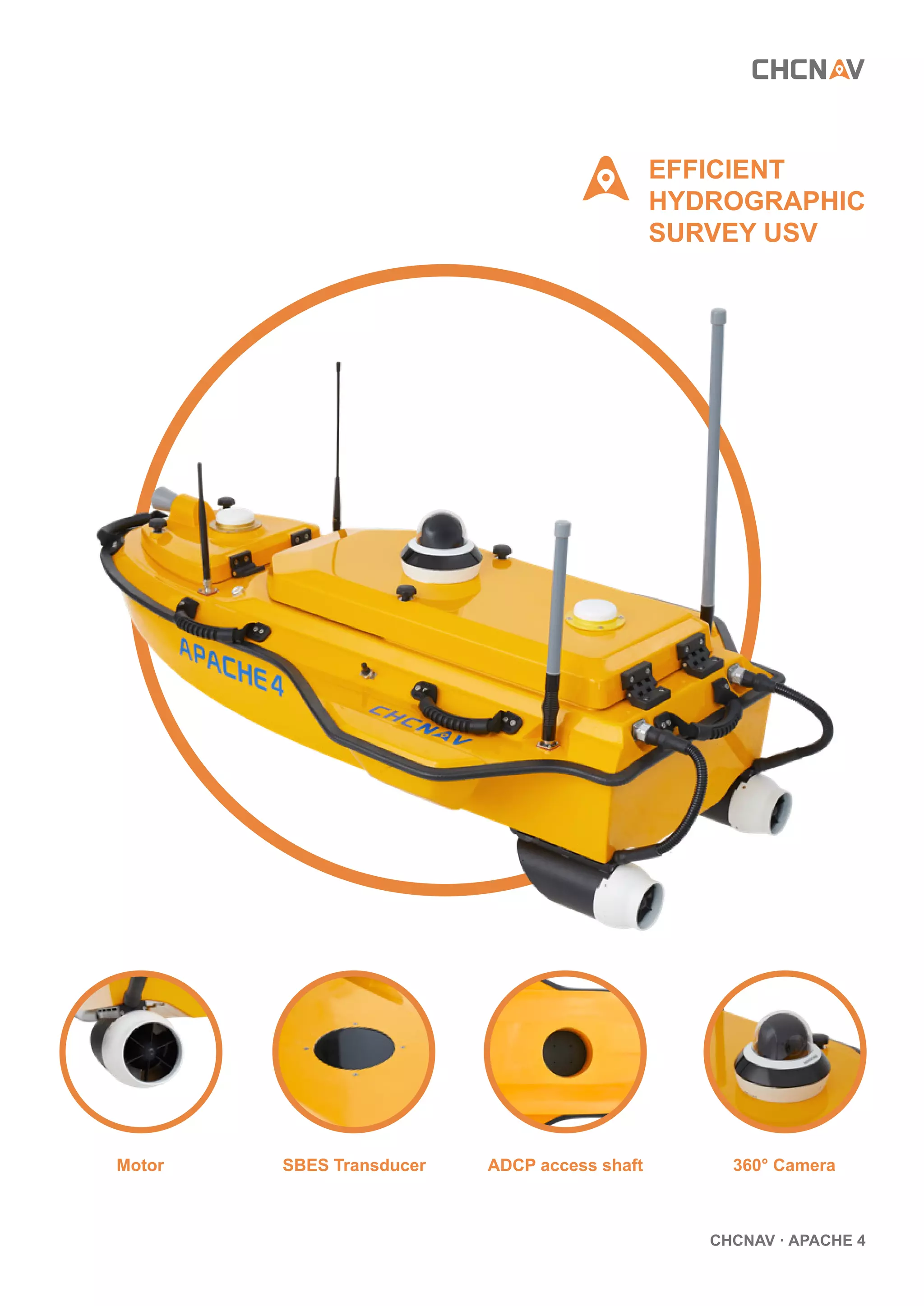
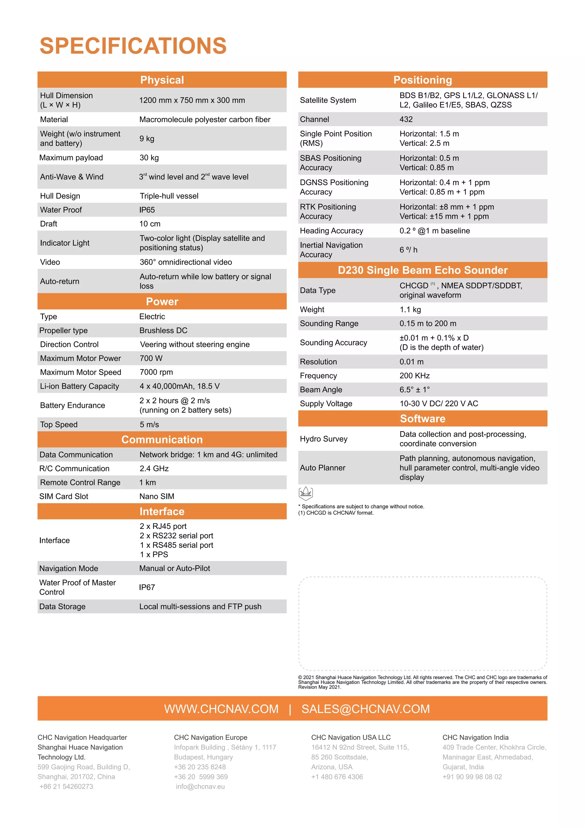

The Apache 4 is an advanced unmanned surface vessel (USV) designed for autonomous hydrographic surveys using Acoustic Doppler Current Profilers (ADCP). It features stable navigation through turbulent waters, integrated positioning systems, and compatibility with various ADCP models, making it ideal for hydrologists in challenging environments. The vessel offers high payload capacity, accurate data collection, and is operable remotely, enhancing efficiency and safety in marine surveys.


