Download as PDF, PPTX
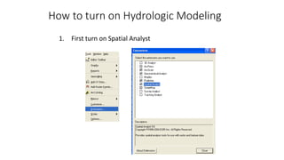
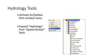
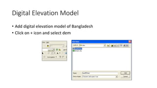
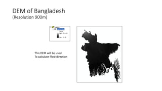
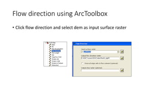
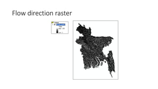
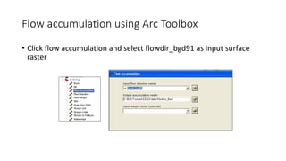
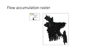
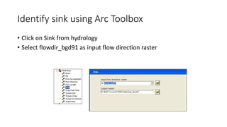
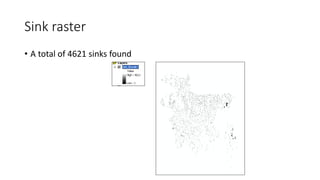
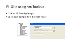
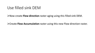
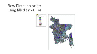
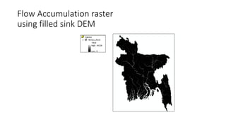
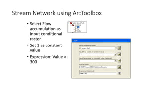
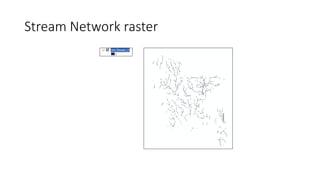
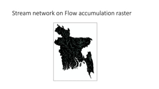
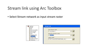
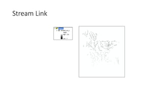
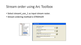
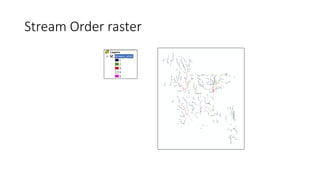
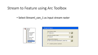
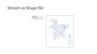
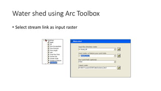
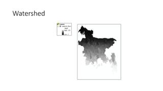
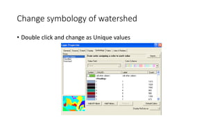
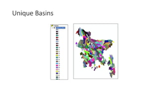

This document provides instructions for using ArcGIS tools to perform hydrologic modeling and watershed analysis on a digital elevation model of Bangladesh. It describes how to use the Spatial Analyst and Hydrology tools to: 1. Create flow direction, flow accumulation, and sink rasters from the DEM 2. Generate a stream network, stream links, and stream order rasters from the flow accumulation raster 3. Convert the stream links raster to a shapefile and delineate watersheds.


![Geotechnical Engineering-II [Lec #26: Slope Stability]](https://cdn.slidesharecdn.com/ss_thumbnails/26-181125070353-thumbnail.jpg?width=640&height=640&fit=bounds)


