Download to read offline
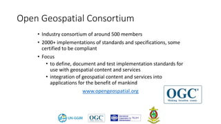
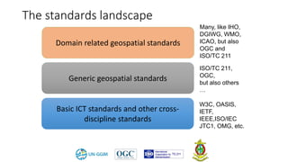

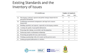
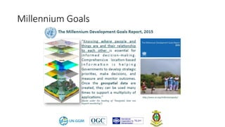

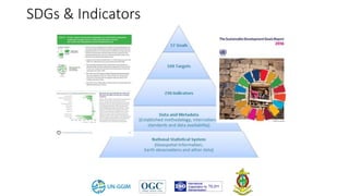
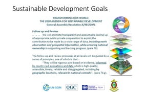
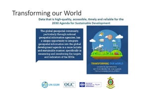


This document discusses geospatial standards for supporting the United Nations Sustainable Development Goals (SDGs). It introduces several organizations involved in geospatial standards development, including ISO, OGC, and IHO. Several key SDGs and indicators that have direct geospatial aspects are highlighted. Existing standards that can help measure related indicators are referenced. Standards still under development that could help, such as DGGS and an updated LADM, are also discussed. Best practice examples of using geospatial data and standards to measure SDG indicators are presented. The document aims to identify how standards can help measure SDGs and indicators, discuss relevant existing and in-development standards, and provide examples of best practices.