Download to read offline

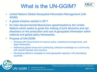
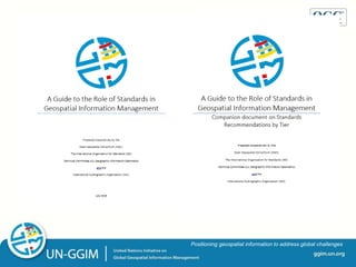
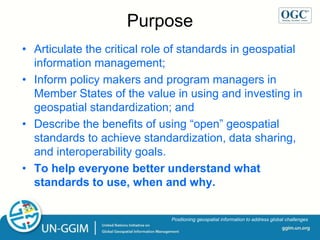


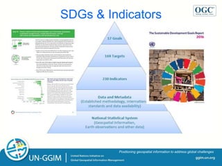


The document discusses the United Nations Global Geospatial Information Management initiative (UN-GGIM) and how geospatial standards can help address global challenges. Some key points: - UN-GGIM is an intergovernmental mechanism that seeks to improve geospatial policy and address issues through international cooperation. - Geospatial standards are important for data sharing, interoperability, and developing spatial data infrastructure. The document recommends adopting standards outlined in the "Guide to the Role of Standards in Geospatial Information Management". - Several UN Sustainable Development Goals and their indicators have direct geospatial data and standards requirements. The document proposes establishing working groups to identify relevant standards and gaps to support monitoring the goals.


