Downloaded 1,201 times
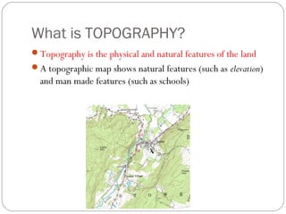

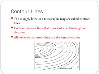
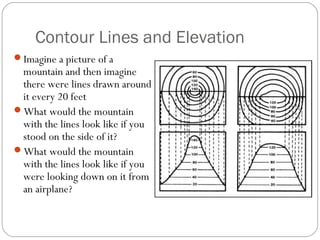
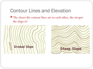
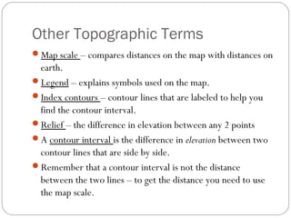
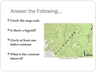
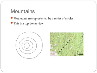
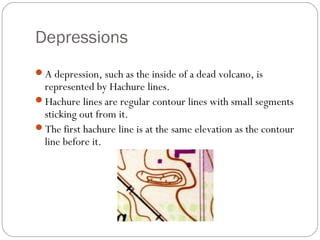
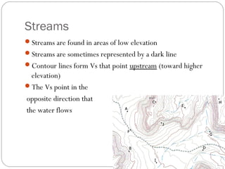
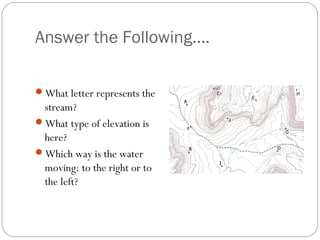
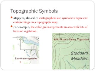
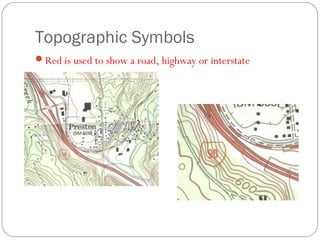
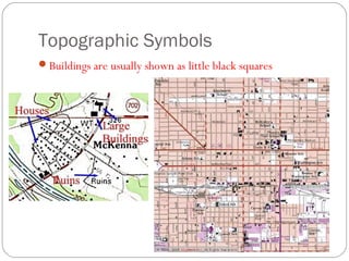
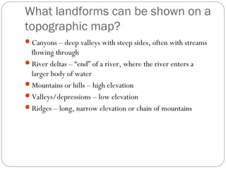
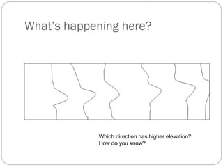
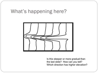
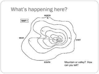

The document defines and explains topography and topographic maps. It describes how topographic maps use contour lines to represent elevation, with closer lines indicating steeper slopes. Contour lines circle around mountains and point upstream along streams. Other symbols convey features like roads, vegetation, buildings and landforms. Index contours are labeled to indicate the contour interval elevation difference between lines. Topographic maps provide visual information about natural and man-made terrain.