10. Time zones
What happens when you cross the international dateline?
If it is 12 pm in Greenwich, what time is it in Sydney, Australia?
11. Cartographic projections
What type of projection is each image?
What is each type of projection usually used to represent?
12. Map scale
What is map scale?
What is the scale of this map?
13. What have we learned?
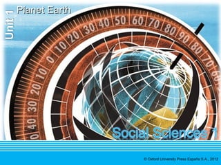
PPlalanneet tE Eaartrhth
It is the third planet in the solar system
Its surface is made up of land and water
The Equator divides the planet into the Northern hemisphere and the Southern hemisphere
Life exists on the Earth because of the temperature, water and the atmosphere
The Earth’s
lines and
geographical
coordinates
On the Earth’s surface
there are imaginary lines
On the Earth’s surface
there are imaginary lines
The geographic
coordinates are
The geographic
coordinates are
Parallels
Meridians
Latitude
Longitude
Movements
of the Earth
ItI tm maakkeess t wtwoo m moovveemmeenntsts
Revolution: on itself, has a duration of 24 hours and
produces the succession of days and nights
Rotation: around the Sun, has a duration of 365 days and
6 hours, and produces the succession of the seasons
14. What have we learned?
Time zones Sections dividing the globe in order to establish official time
Representatio
nof the Earth
Representatio
nof the Earth
Maps are representations of the Earth’s surface on a plane
The projections can be cylindrical, planar or conical
The scale of maps can be numerical and graphic
Editor's Notes
Suggested questions and discussion starters:
What do these images show?
Do you know why we we have different seasons?
Do you think all parts of the world have four seasons?