Download as PDF, PPTX

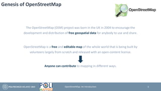
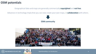
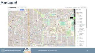
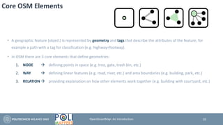
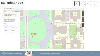
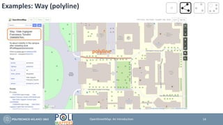
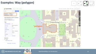
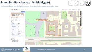
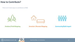
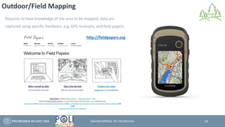
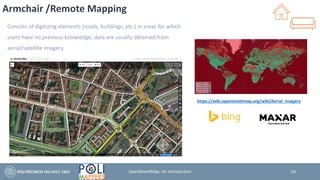
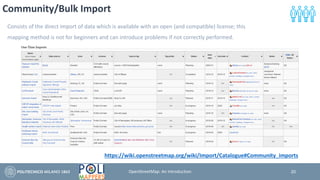


The OpenStreetMap (OSM) project, launched in 2004 in the UK, aims to create a free and editable map of the world, utilizing volunteer contributions and distributed under an open-content license. OSM allows users to map geographical features using core elements like nodes, ways, and relations, each characterized by specific tags. Contributing to OSM can be done through outdoor mapping, remote mapping, or community bulk imports, alongside various tools and editors available for different user expertise levels.


