Downloaded 270 times
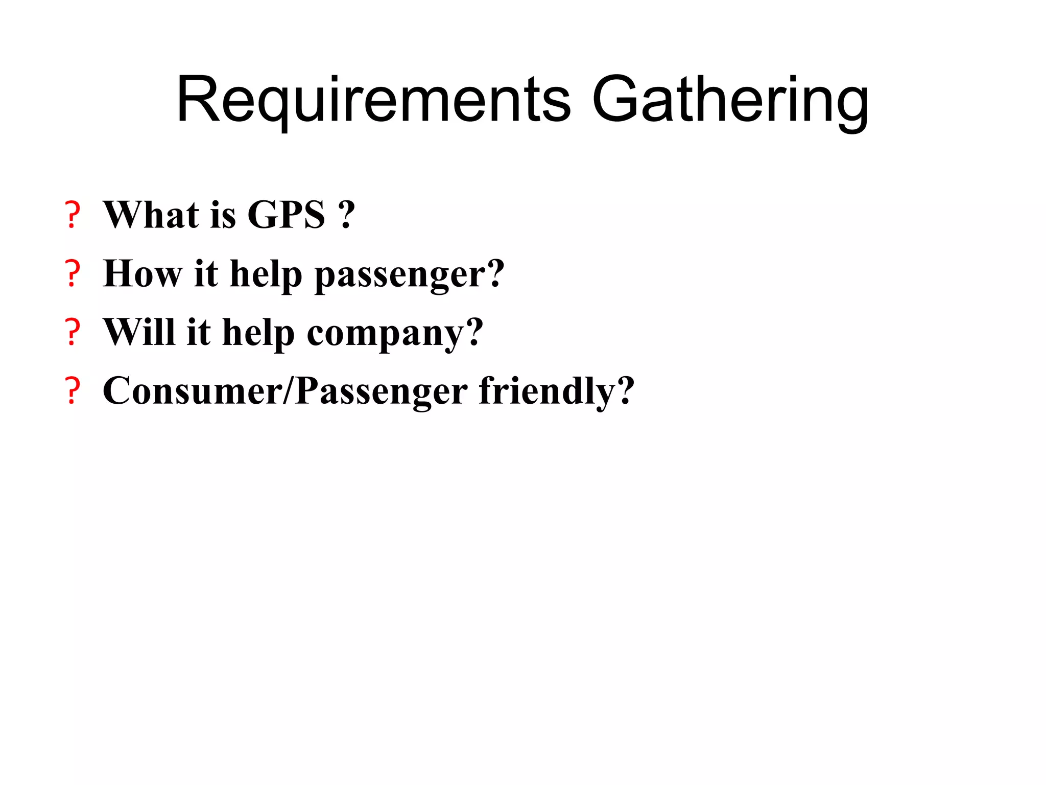
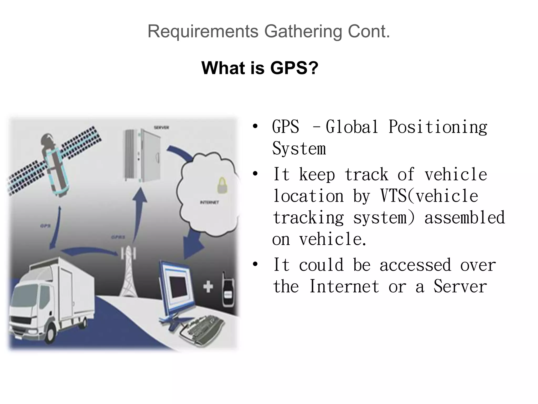
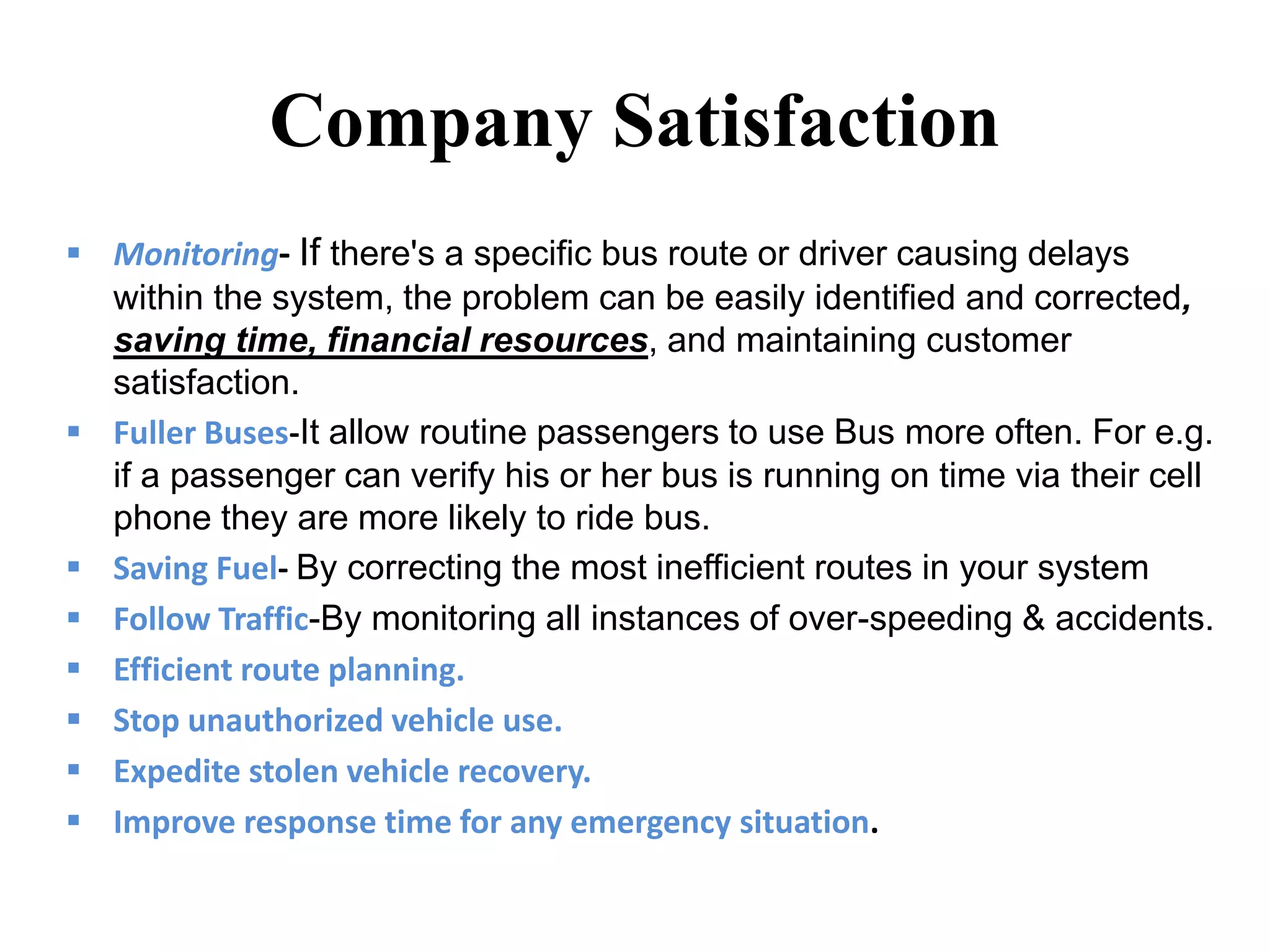
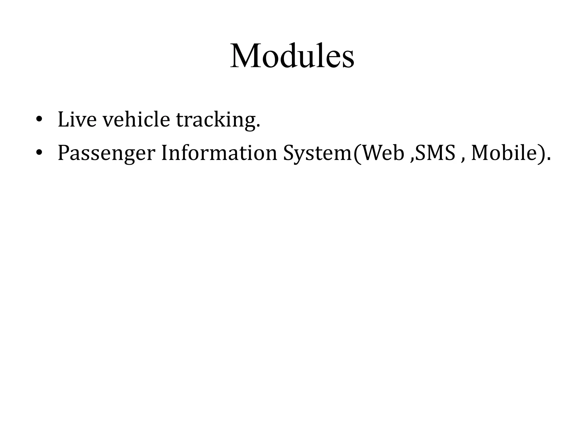
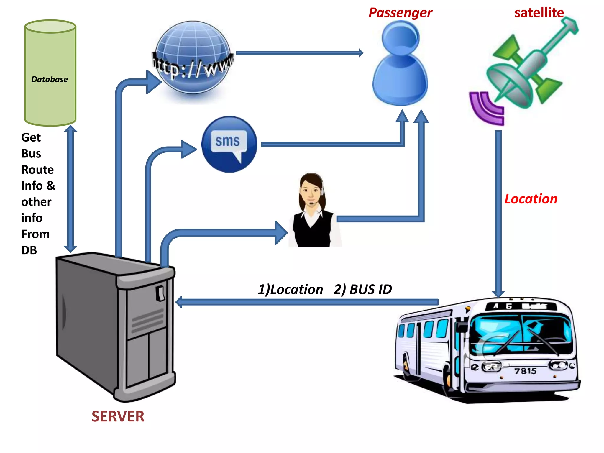
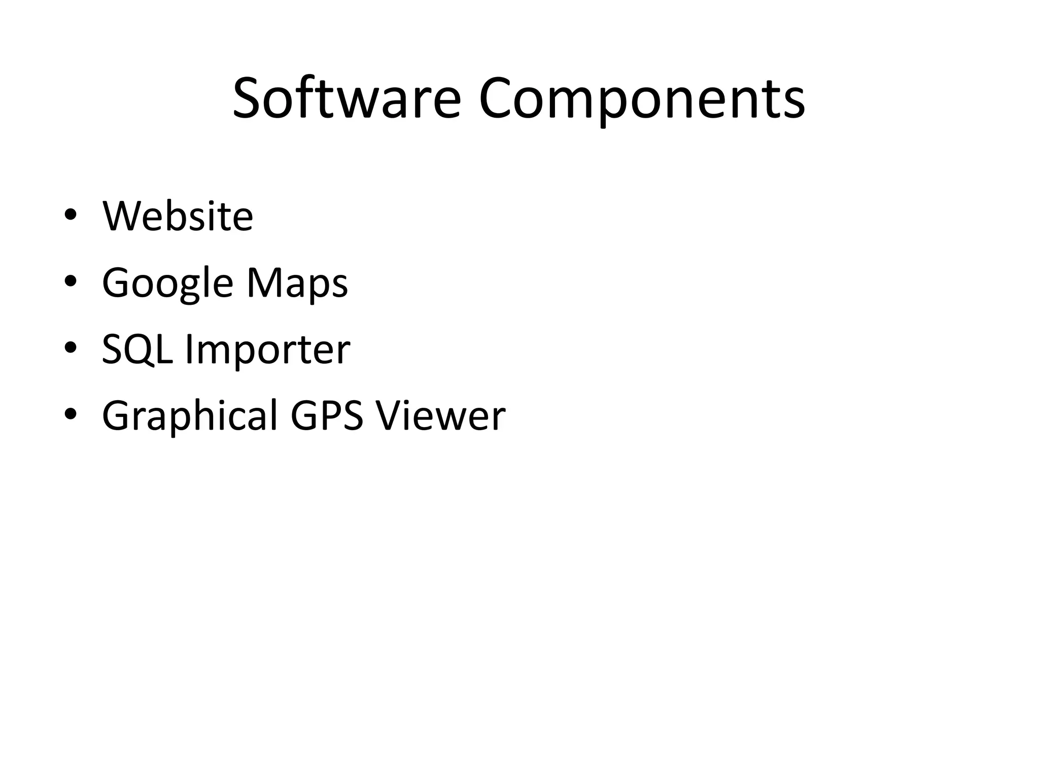
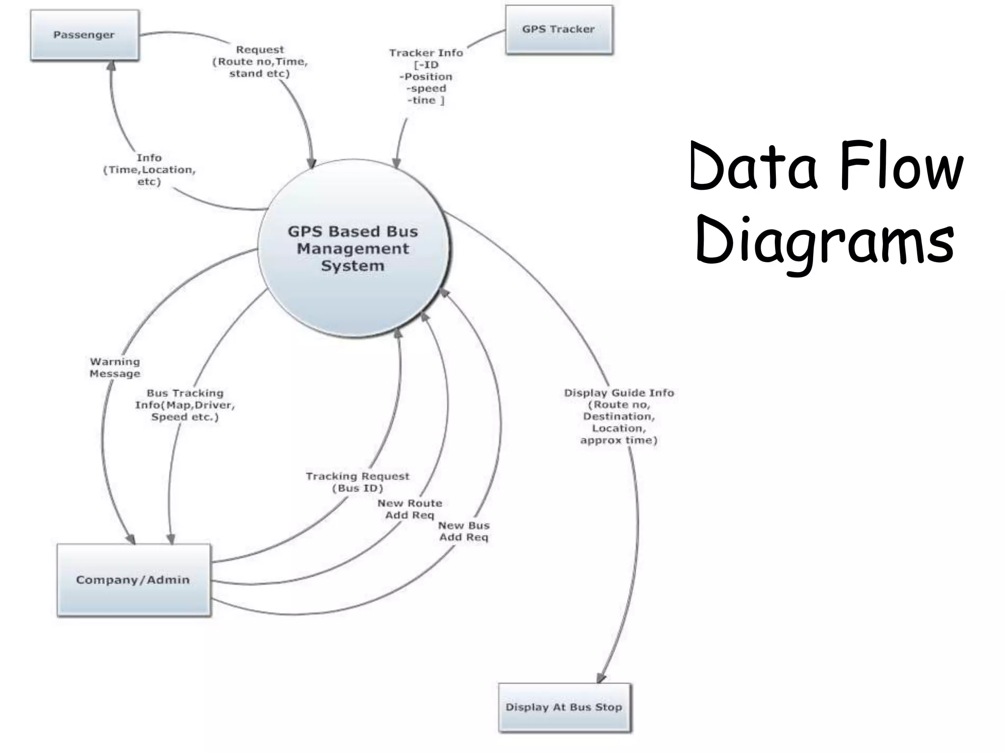

The document discusses a bus tracking system project that uses GPS to track the location of buses. The system would allow passengers to check bus locations and arrival times on a mobile app or website. This would improve customer satisfaction by ensuring on-time arrivals. It would also benefit the bus company by allowing them to monitor buses, identify inefficient routes, and plan routes more efficiently. The proposed system would include modules for live vehicle tracking and a passenger information system accessible by web, SMS, or mobile. It would retrieve location data and other bus information from a server database.


![SCHOOL BUS ROUTING MANAGEMENT SYSTEM [FINAL]](https://cdn.slidesharecdn.com/ss_thumbnails/87627aef-d191-4c84-9731-ef1f103b1b87-160522103530-thumbnail.jpg?width=640&height=640&fit=bounds)


![[BROCHURE] Italy Tour Project | @SlideON](https://cdn.slidesharecdn.com/ss_thumbnails/brochure8-251215152319-2805af68-thumbnail.jpg?width=640&height=640&fit=bounds)


![Chapter4_Initiation_of_Sediment_Motion_v2[1].pptx](https://cdn.slidesharecdn.com/ss_thumbnails/chapter4initiationofsedimentmotionv21-251208223747-f94ef163-thumbnail.jpg?width=640&height=640&fit=bounds)
![Chapt_4[1].ppt very interseting and important](https://cdn.slidesharecdn.com/ss_thumbnails/chapt41-251208222956-7cf5e0fa-thumbnail.jpg?width=640&height=640&fit=bounds)