
Download as PDF, PPTX


![Mahalo
Matt Barbee
SOEST
University of Hawaii
Matthew [mbarbee@hawaii.edu]
Craig Clouet
ESRI
Honolulu Office
1357 Kapiolani Blvd Suite 1110
Honolulu, Hawaii 96814
(808) - 947-0993
cclouet@esri.com
HIGICC](https://image.slidesharecdn.com/ddd08-clouet-lidarhawaii-091009220226-phpapp02/75/Hawaii-LIDAR-Datasets-87-2048.jpg)

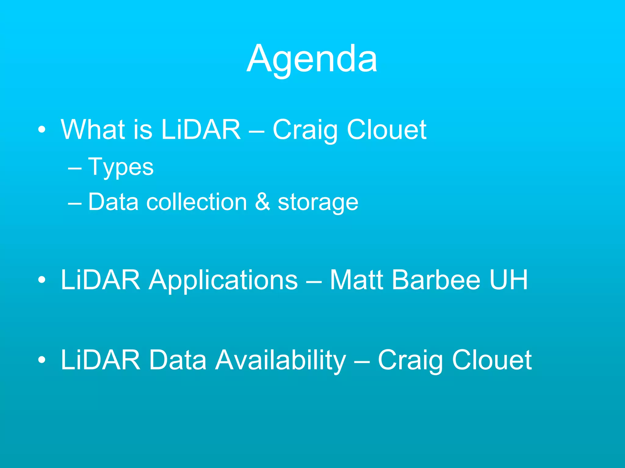
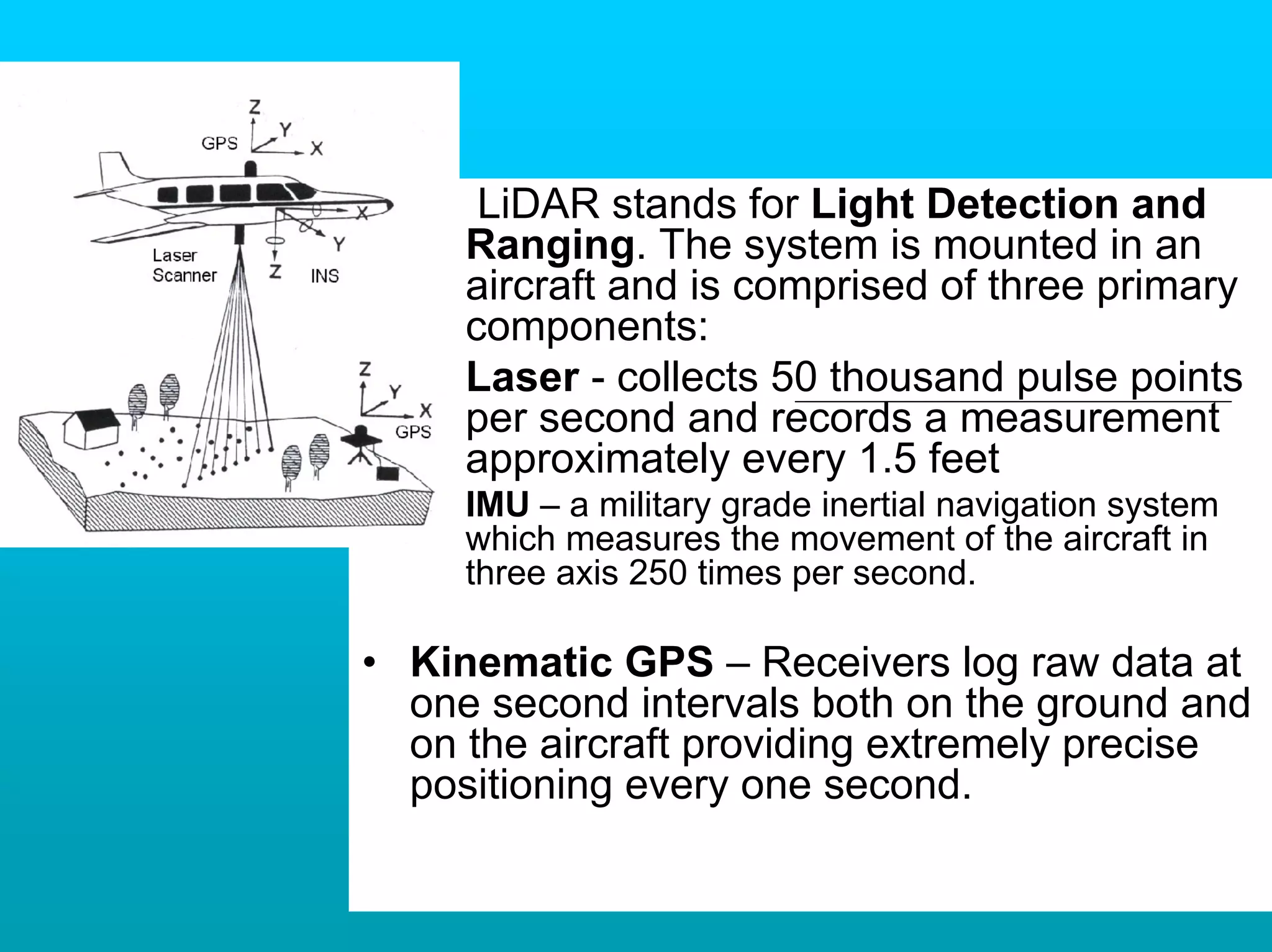
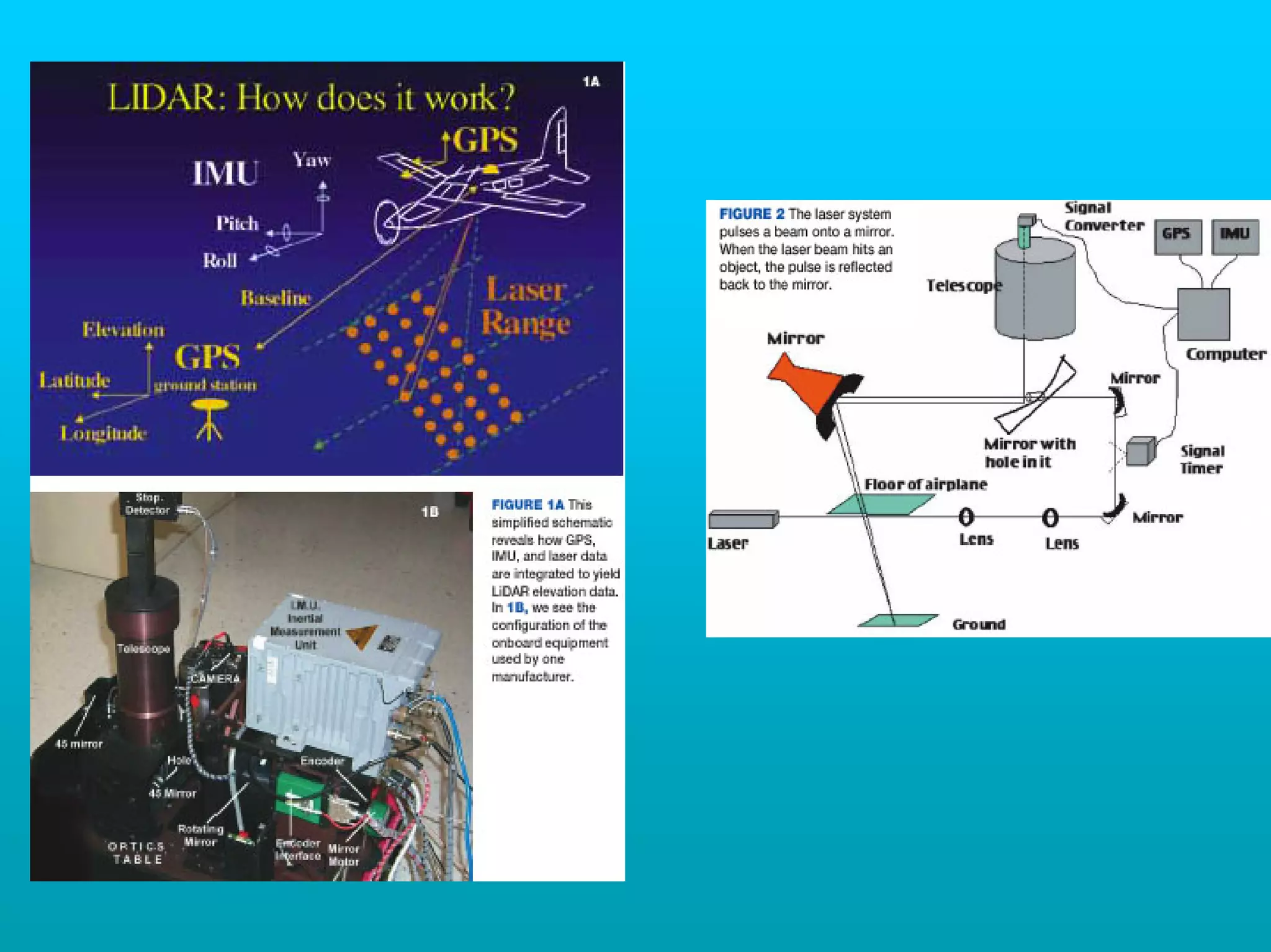
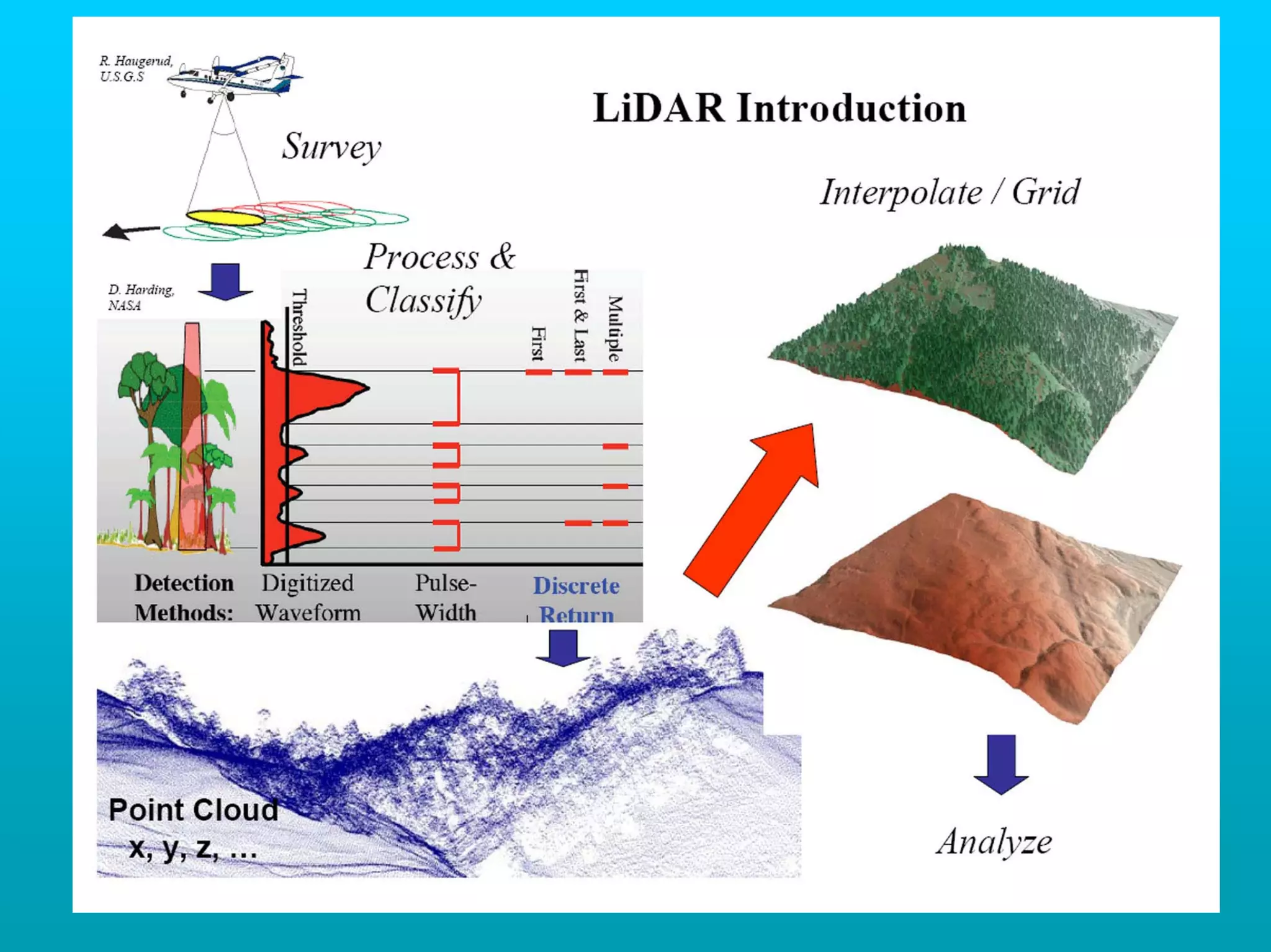
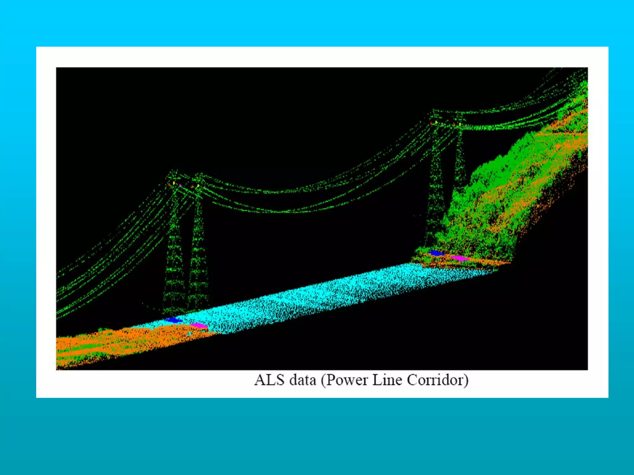
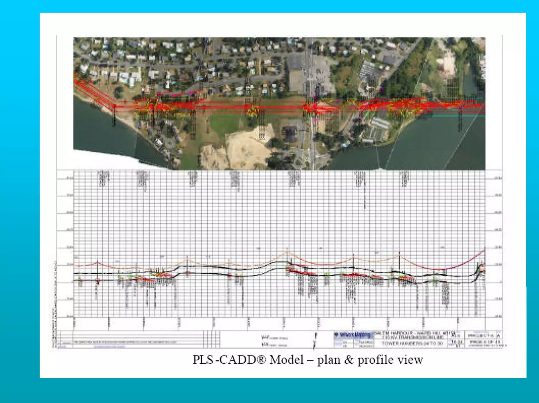
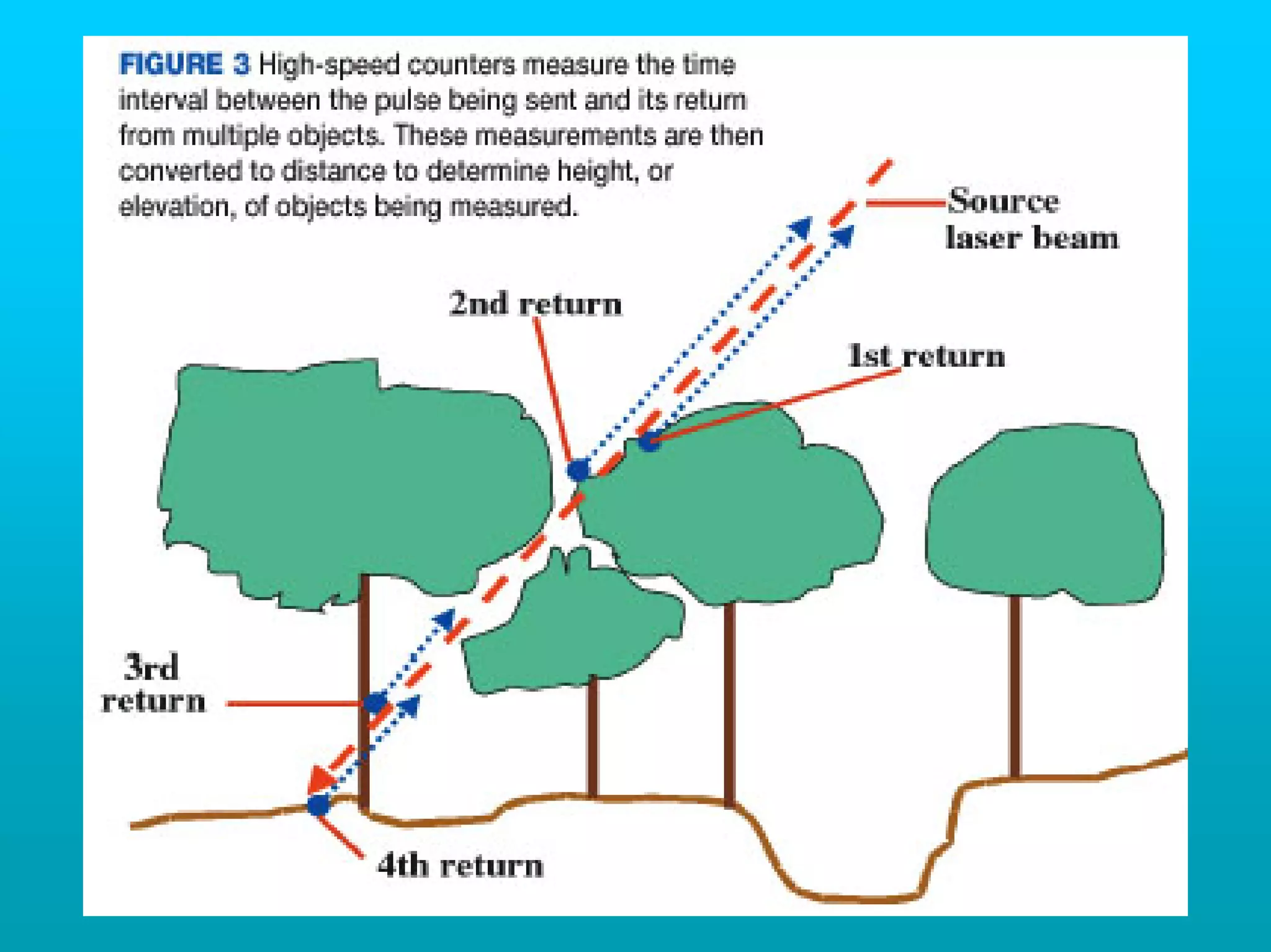
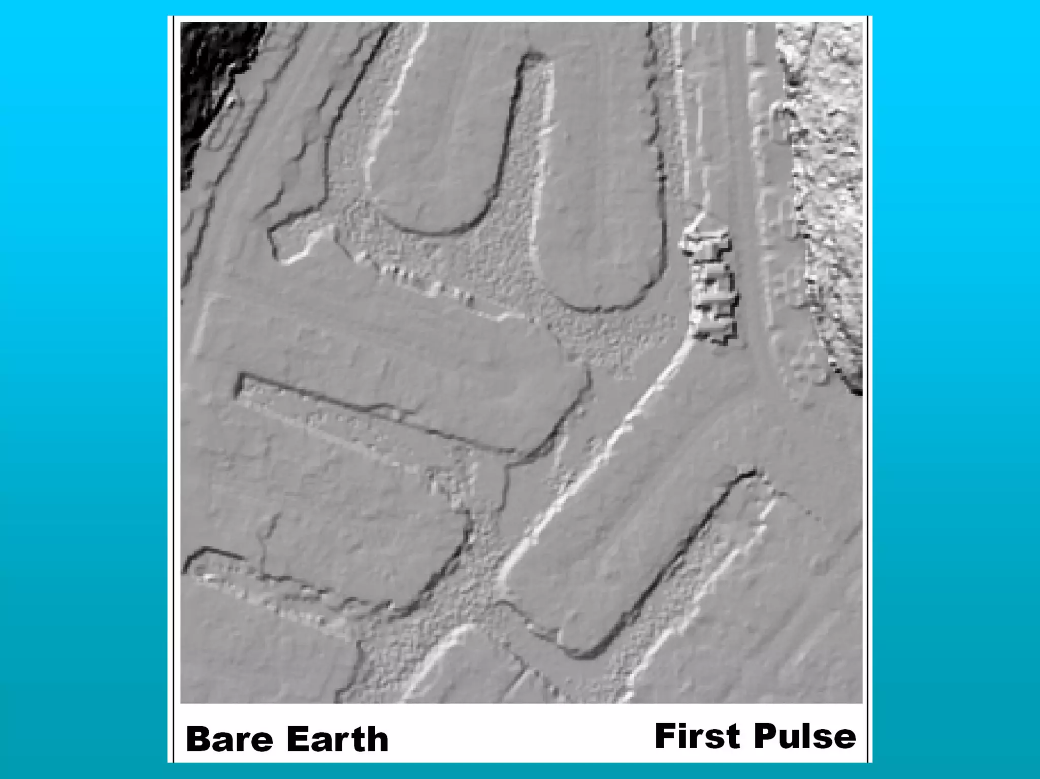
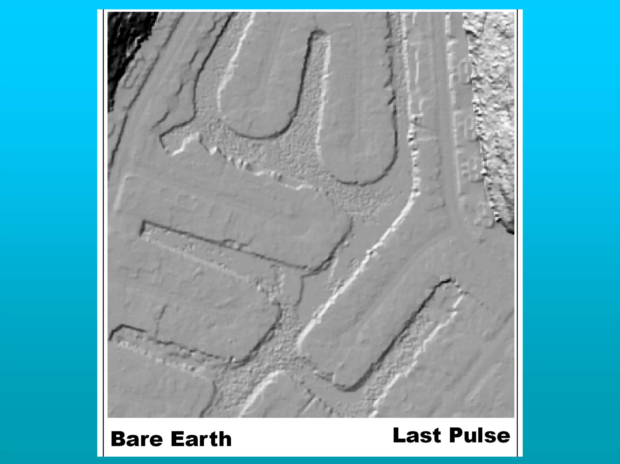
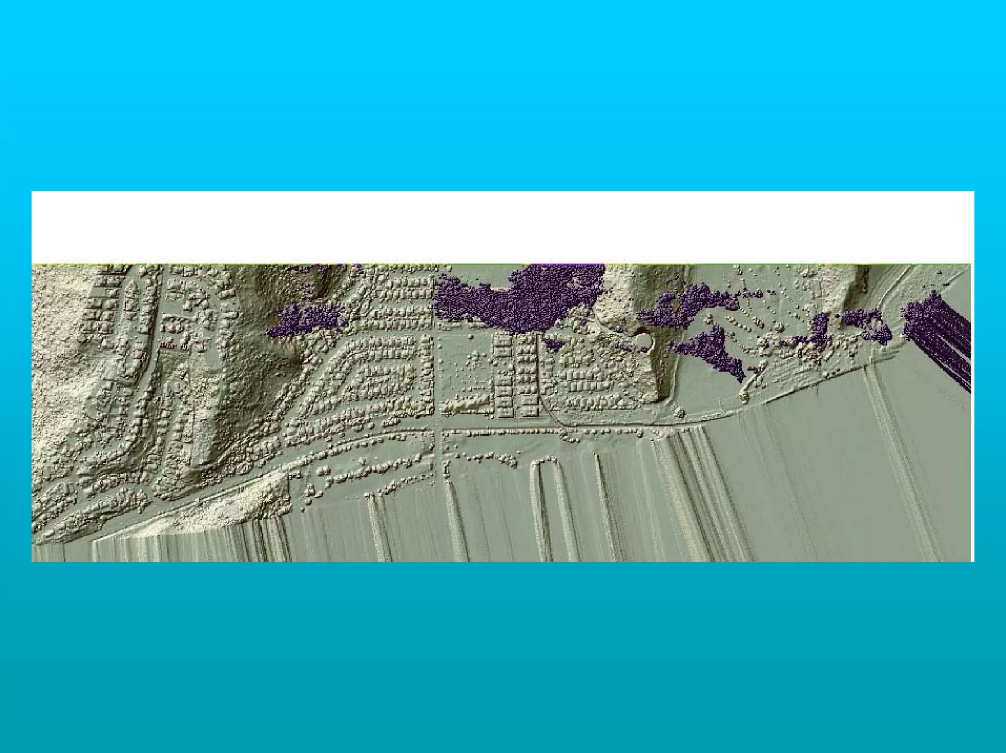
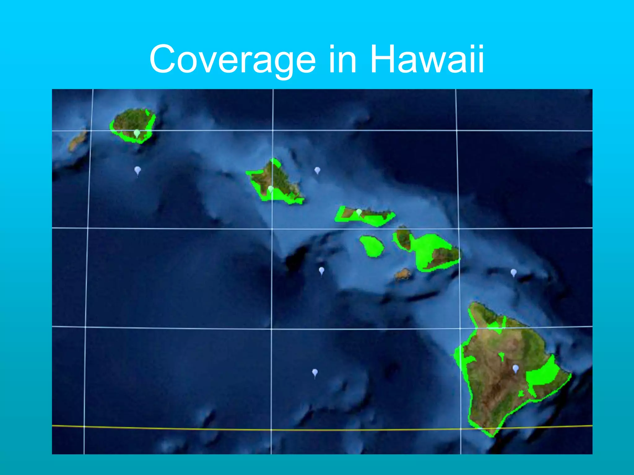
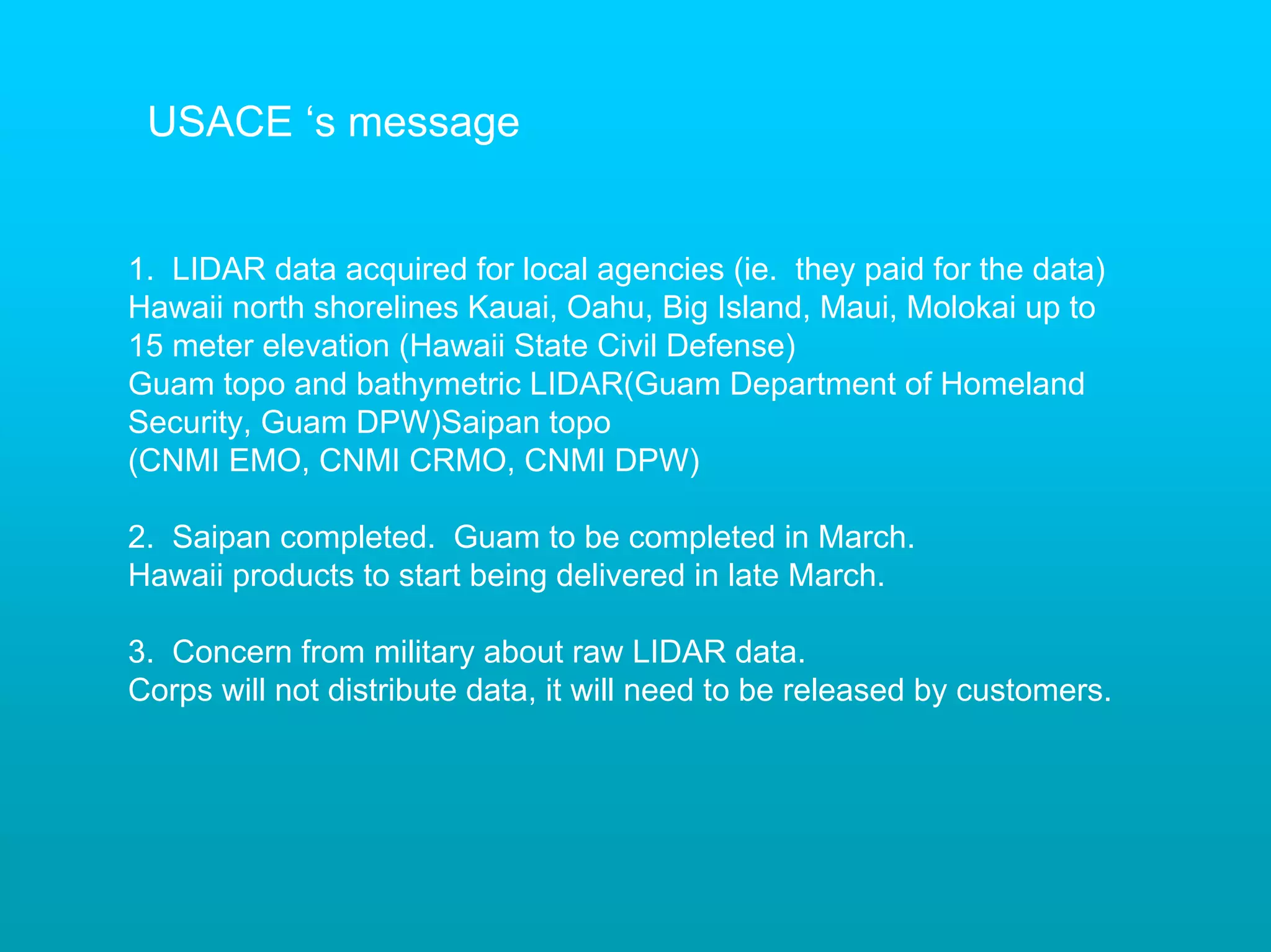
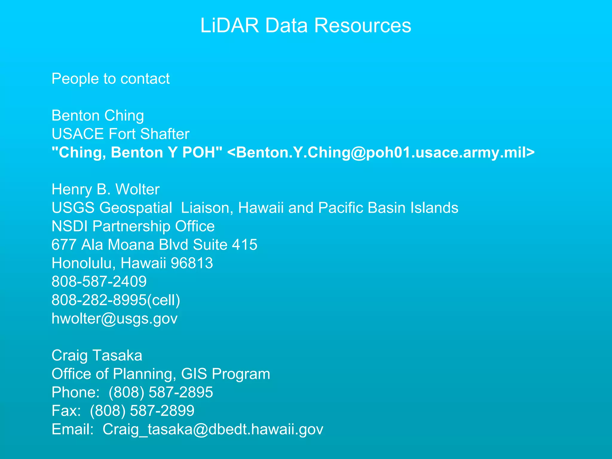
This document provides an overview of LiDAR technology, including what it is, how it collects data, and common applications. It discusses the main types of LiDAR systems, how data is collected and stored, and applications like topographic mapping. It also covers data availability in Hawaii from sources like the USACE and USGS. The document aims to educate about LiDAR and provide resources for accessing LiDAR data.


