Download as PDF, PPTX
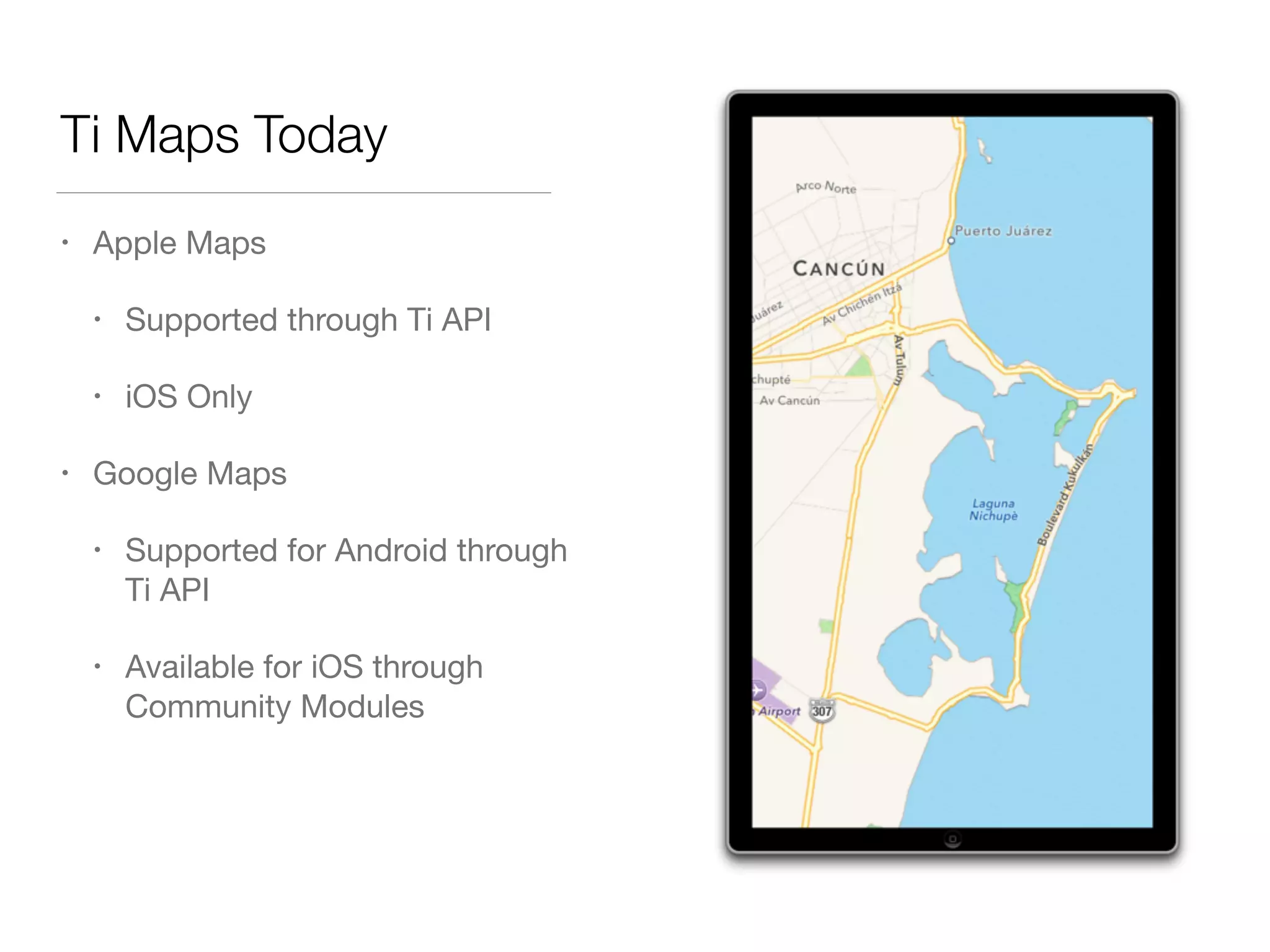
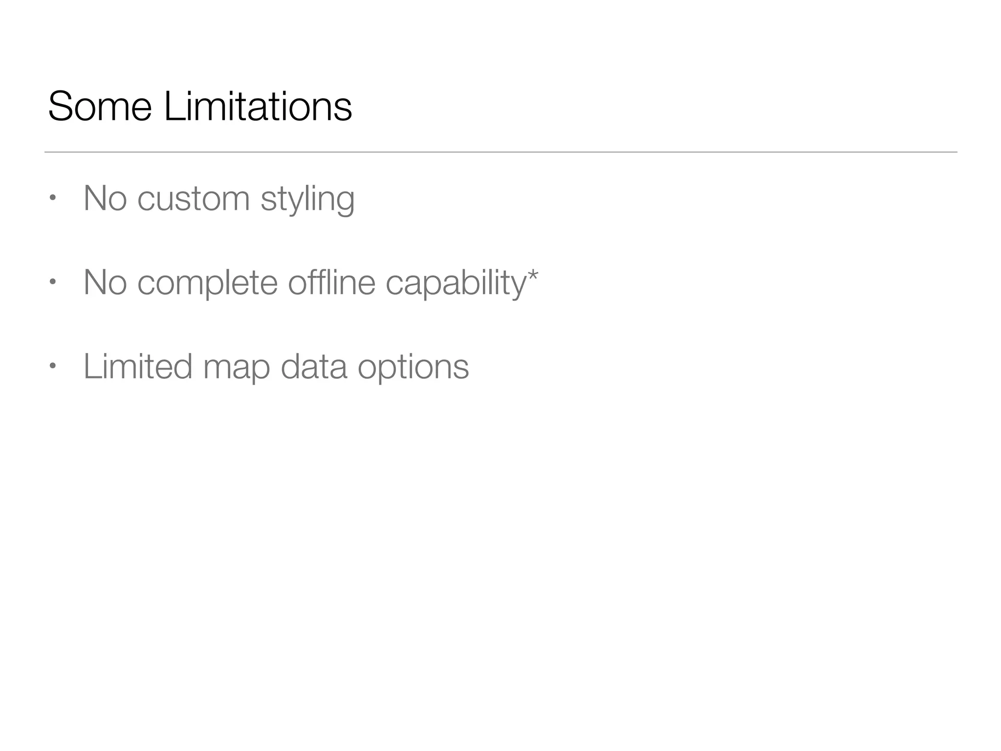


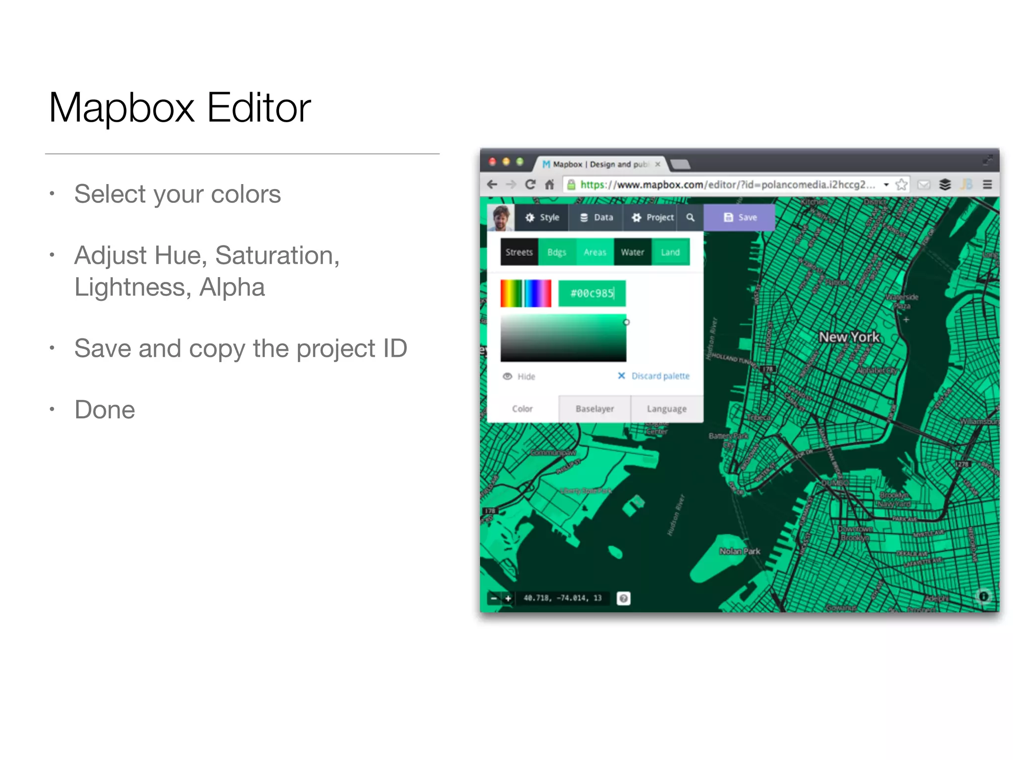
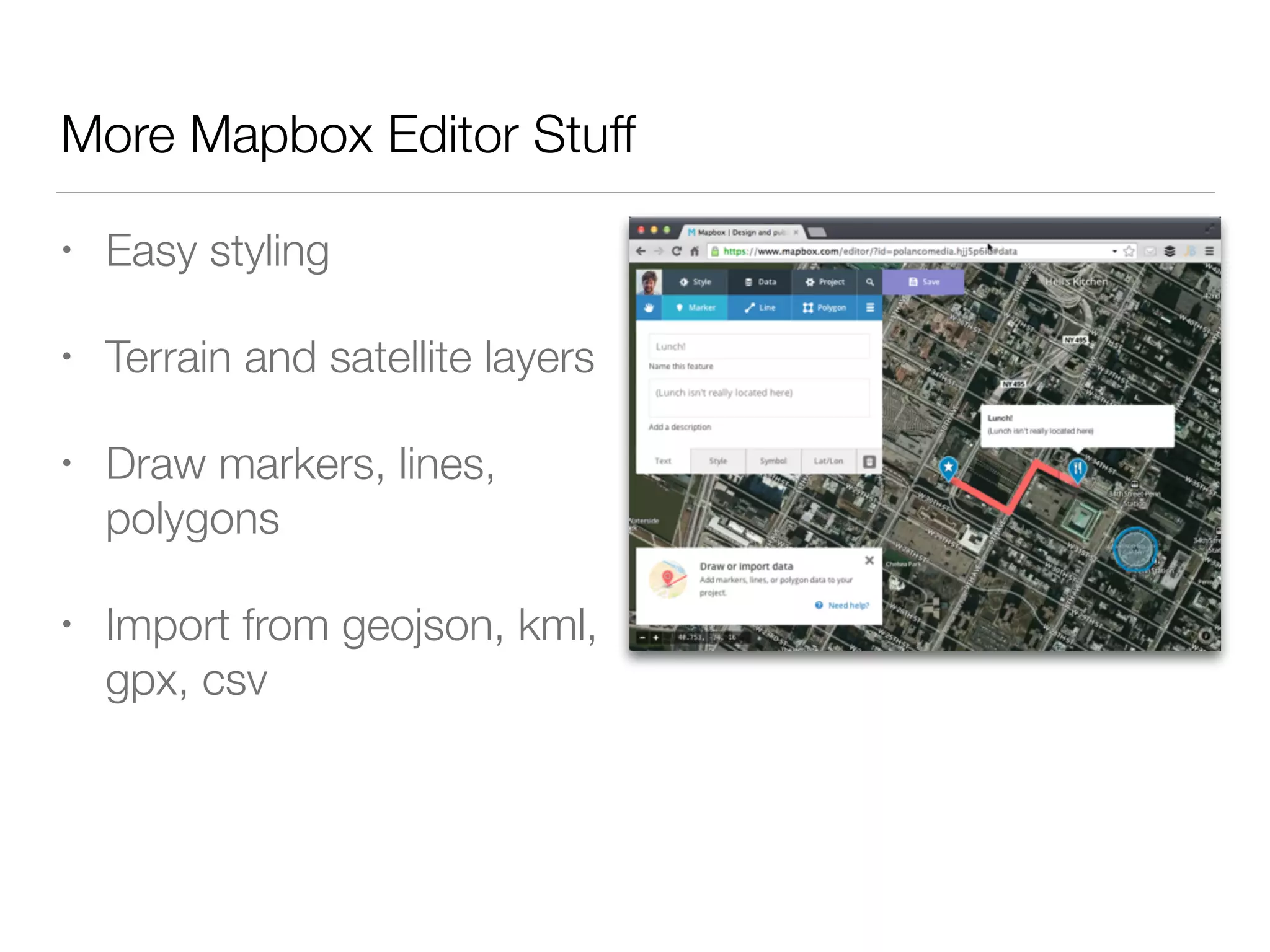
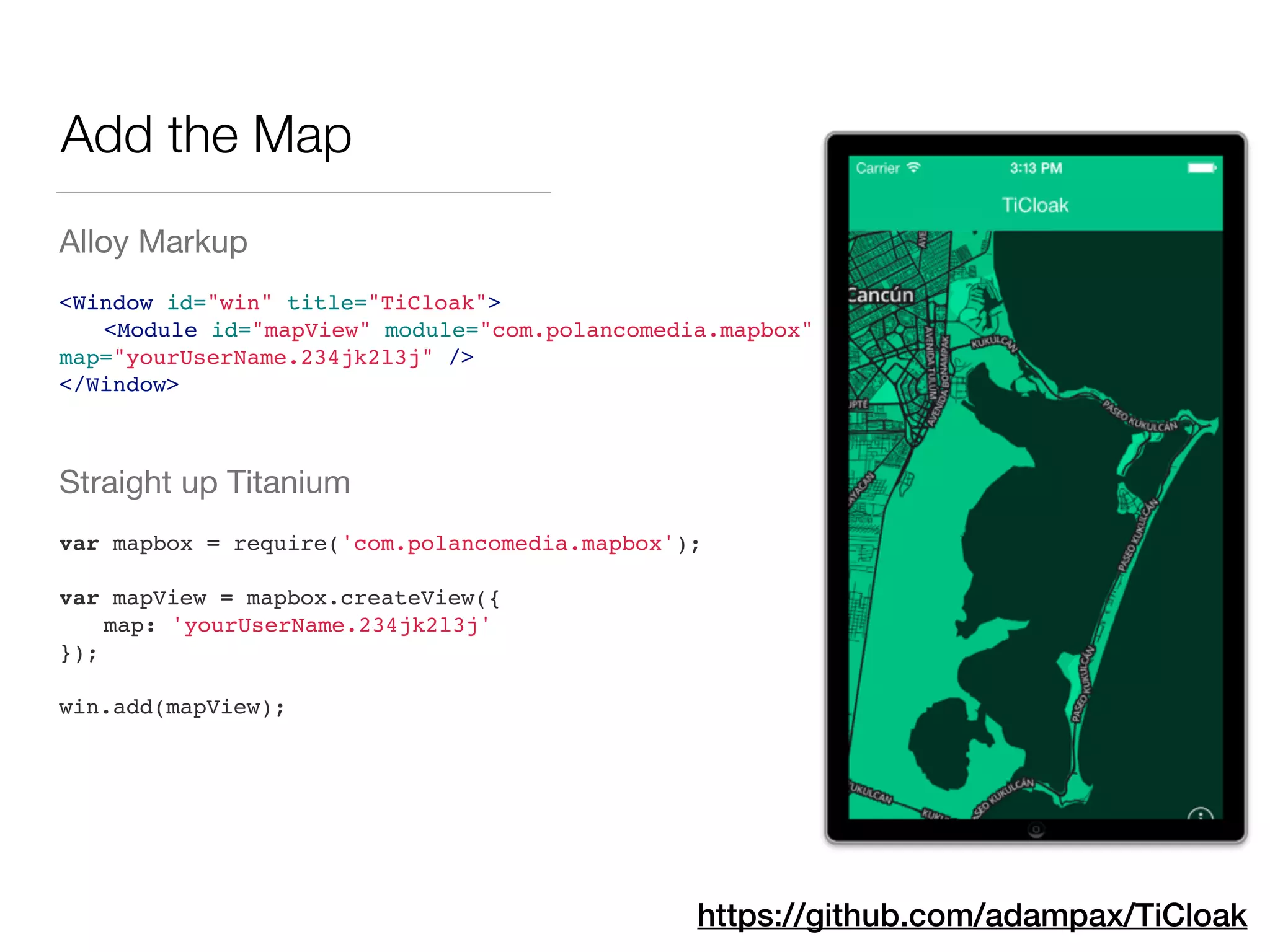
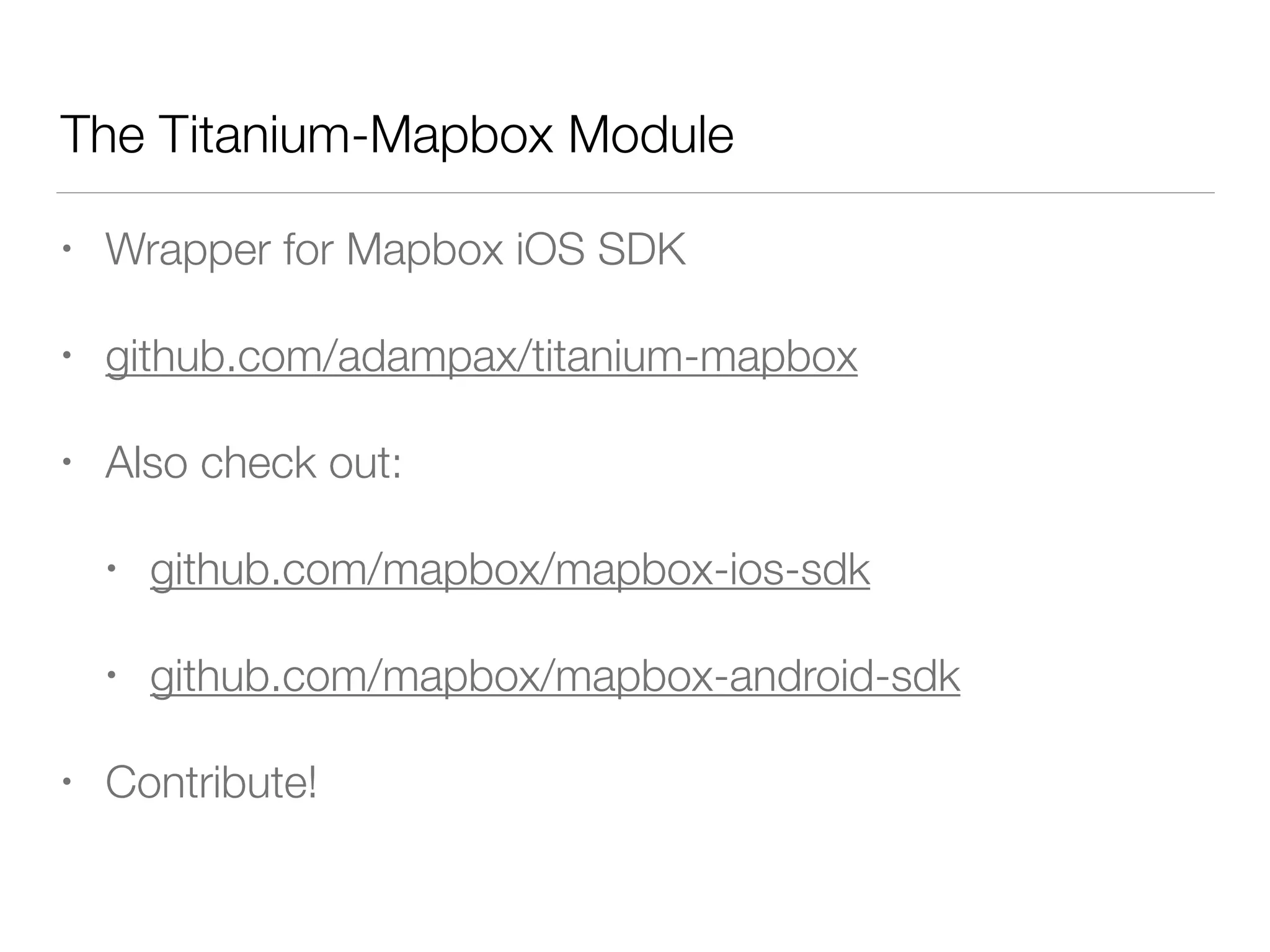
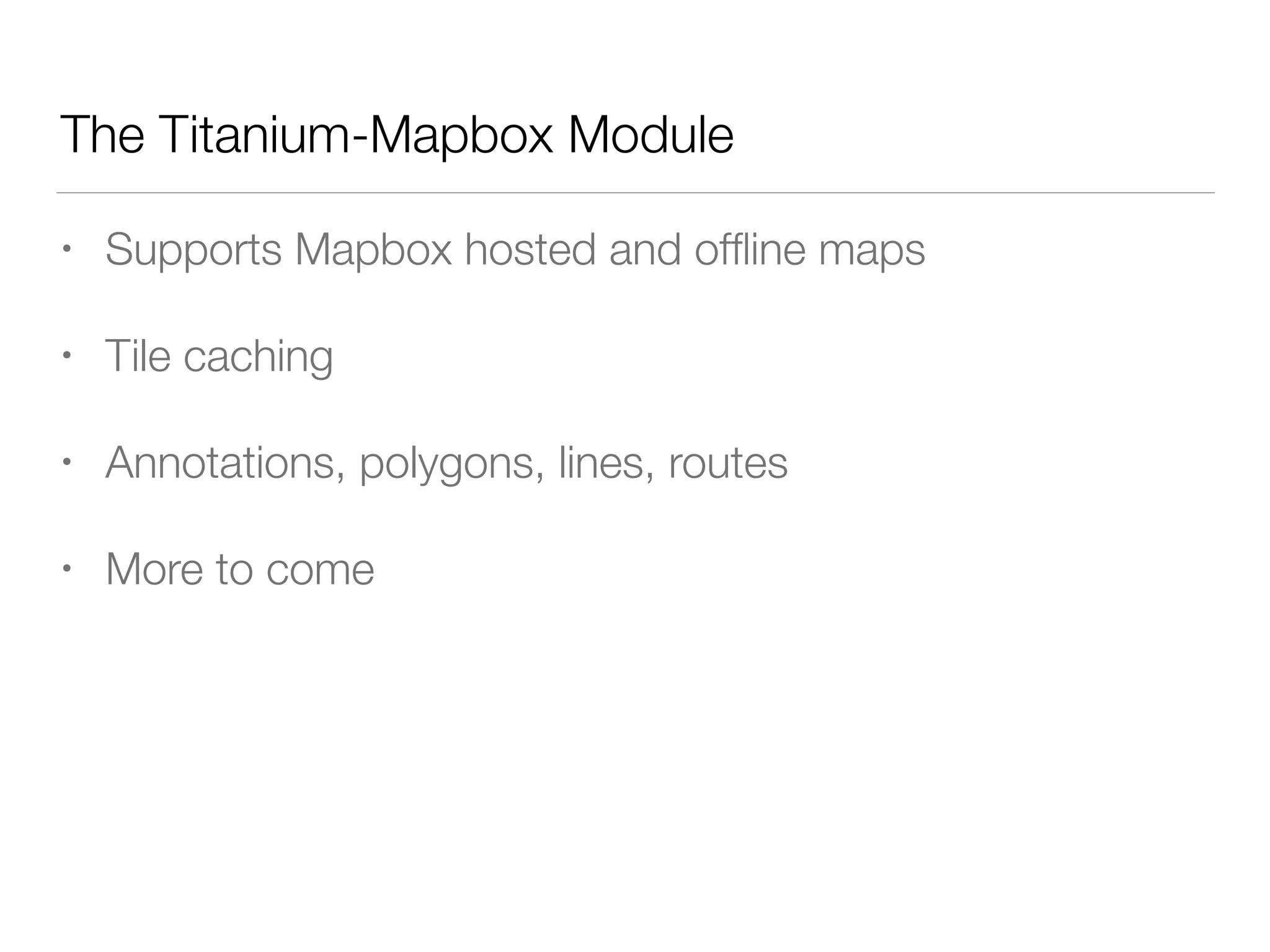

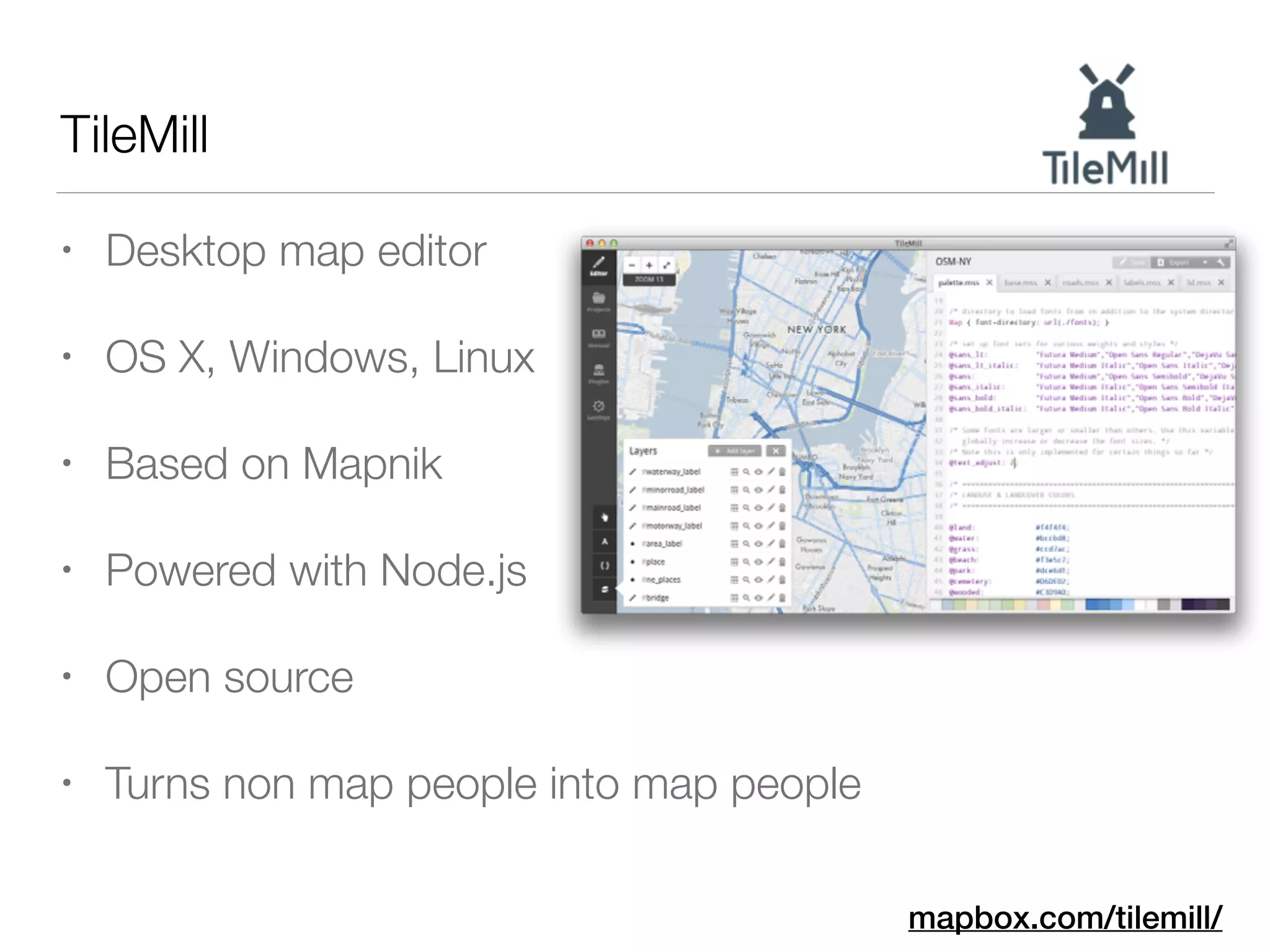
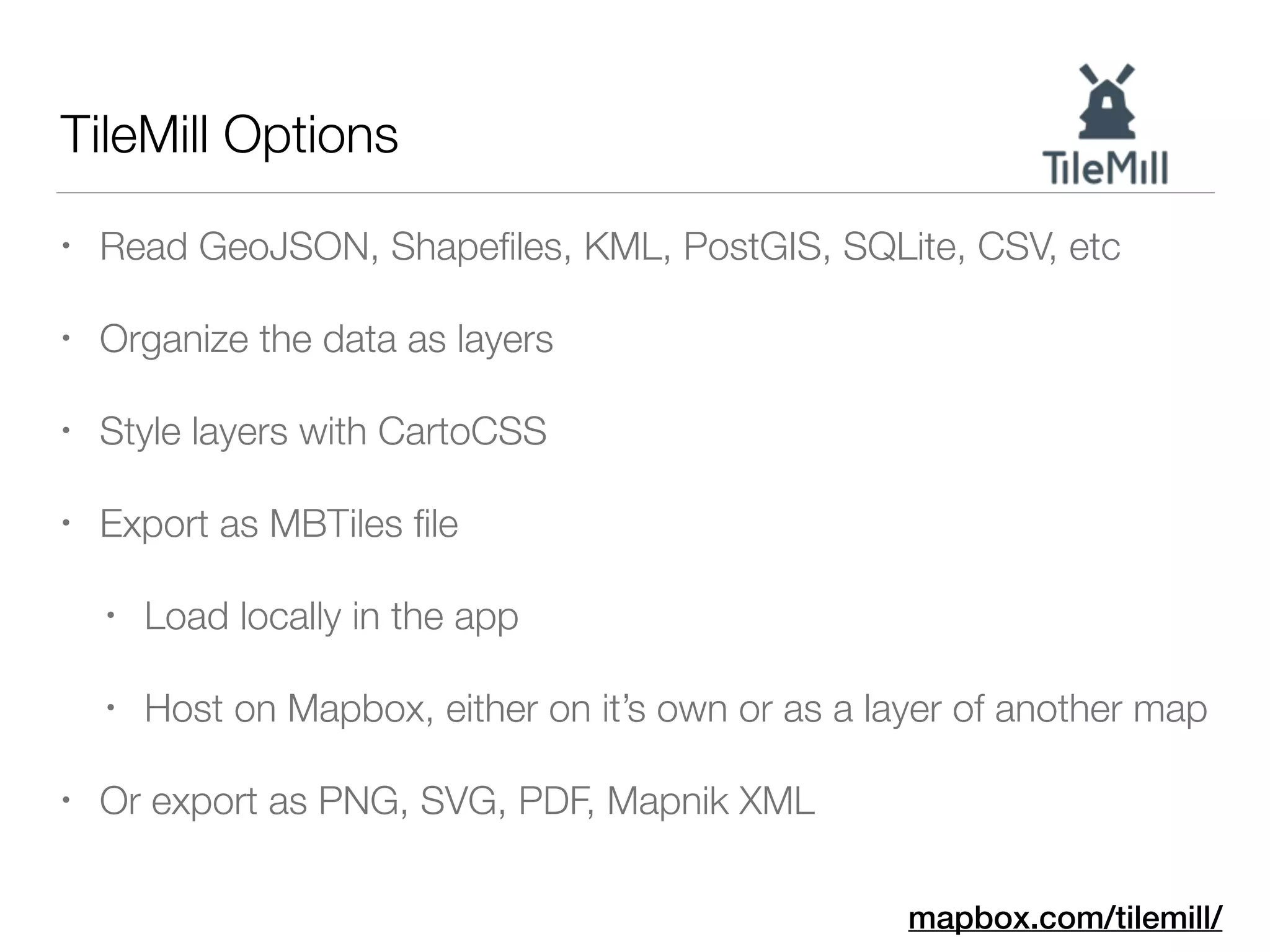
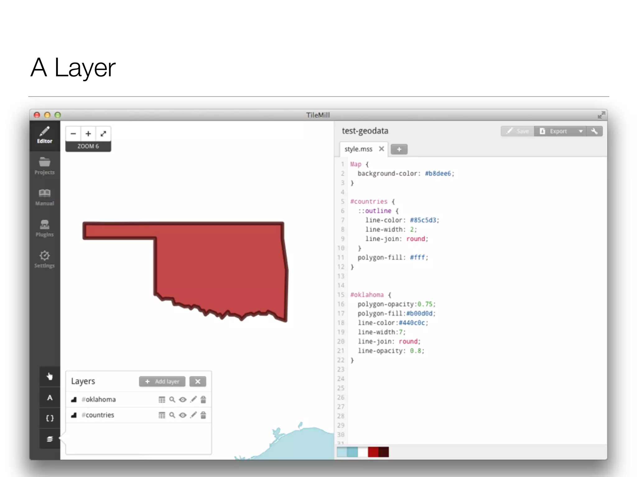
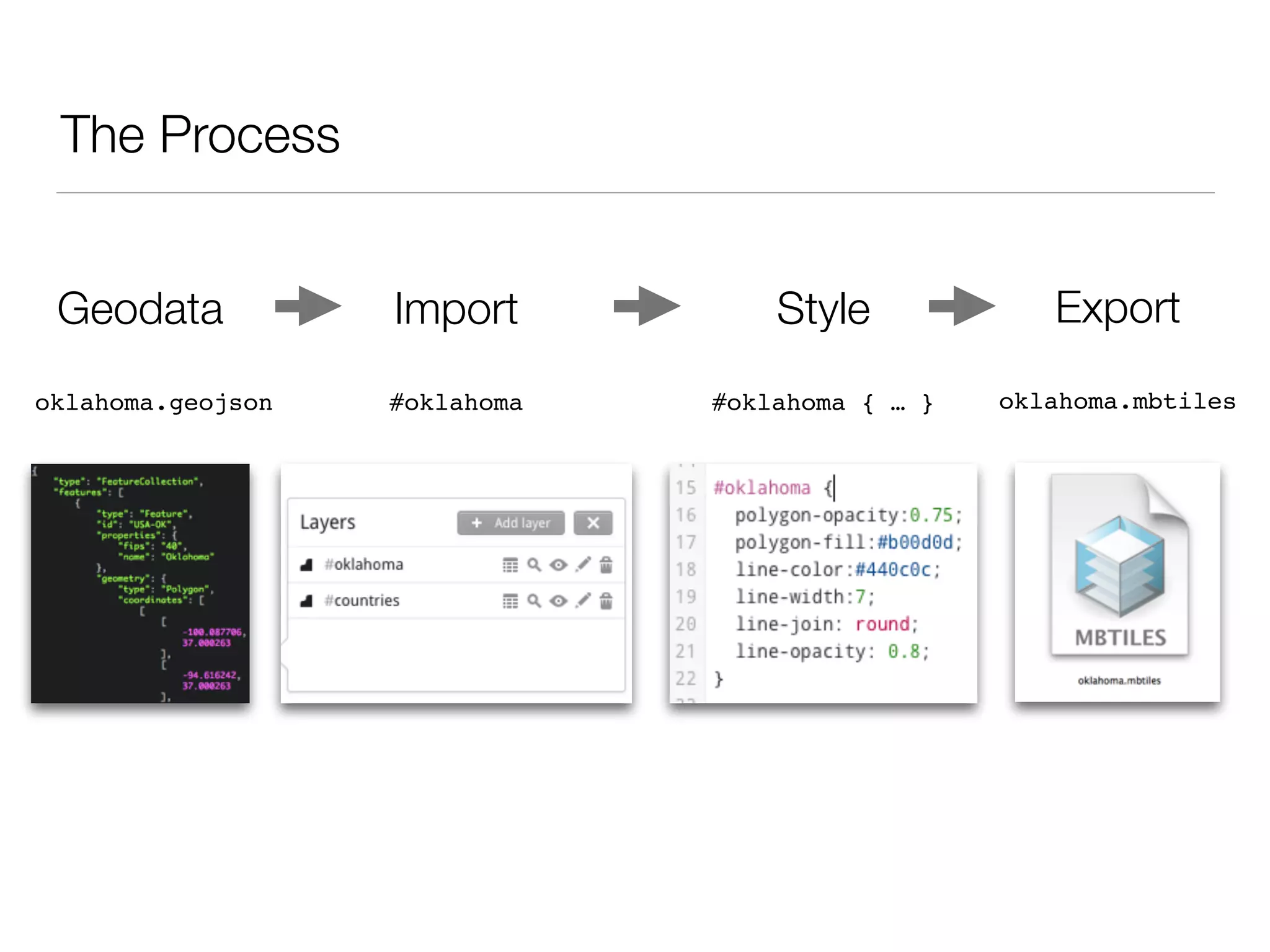
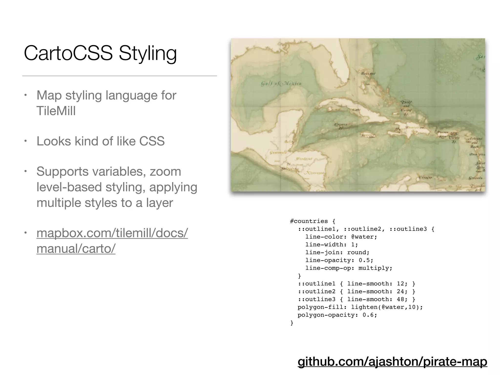
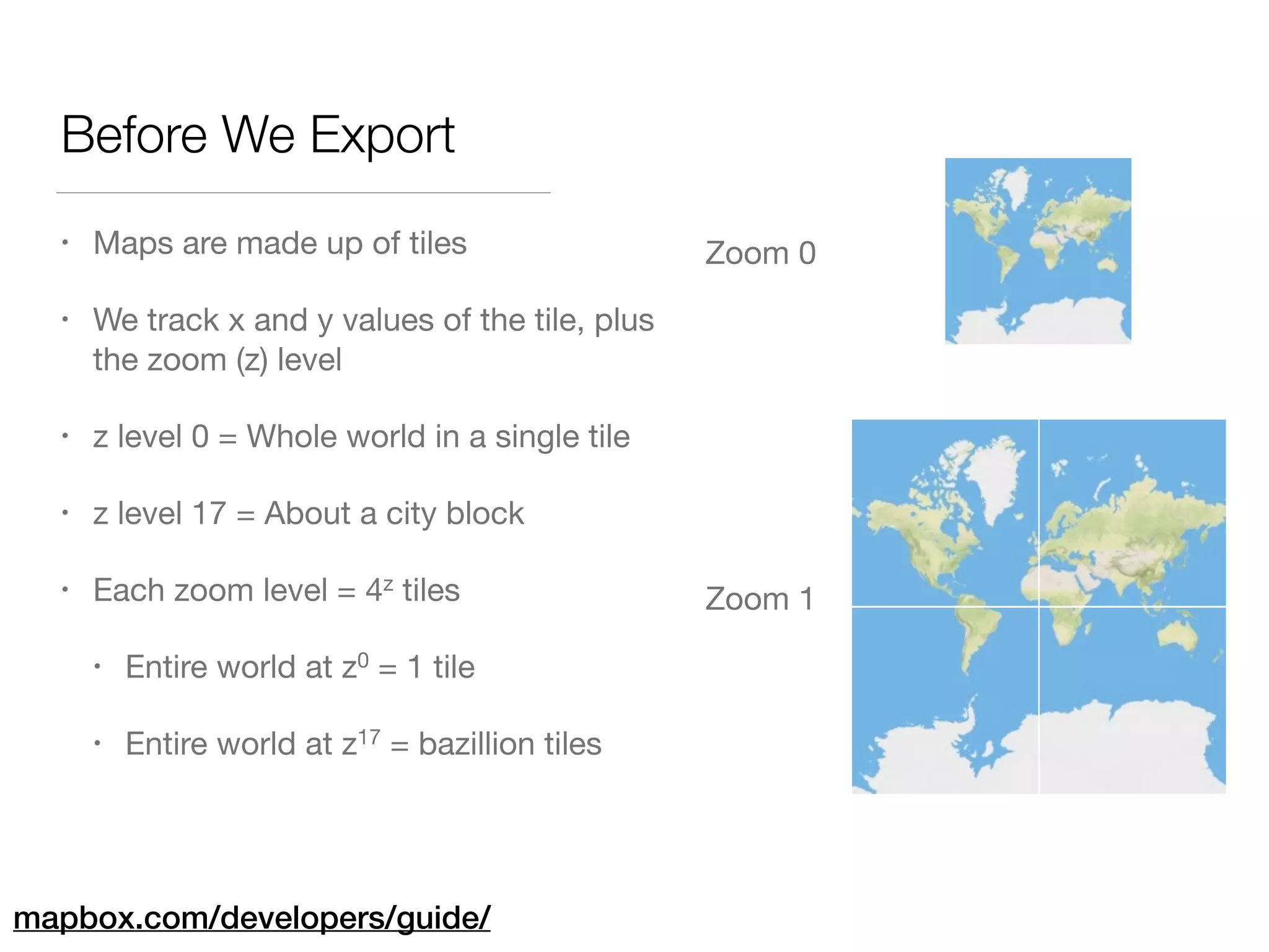
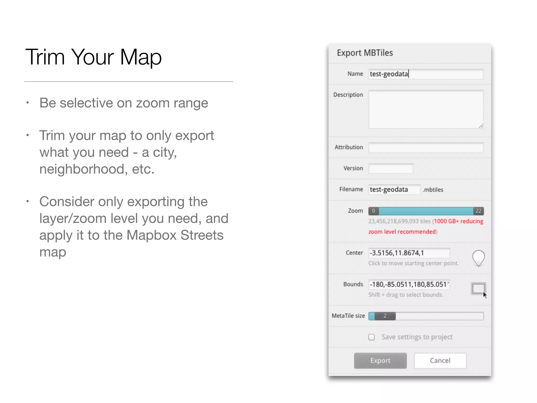
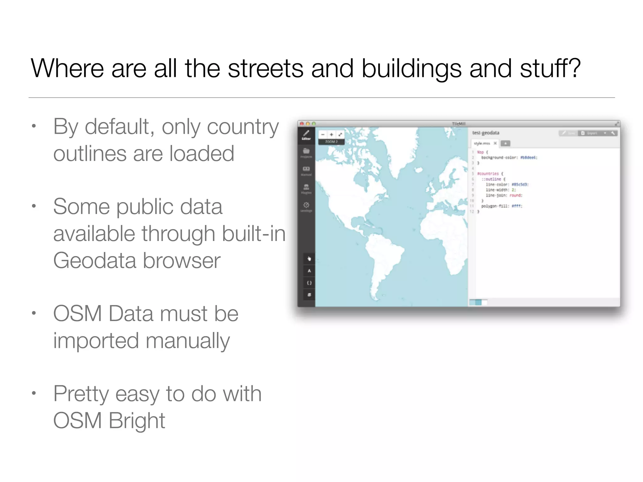
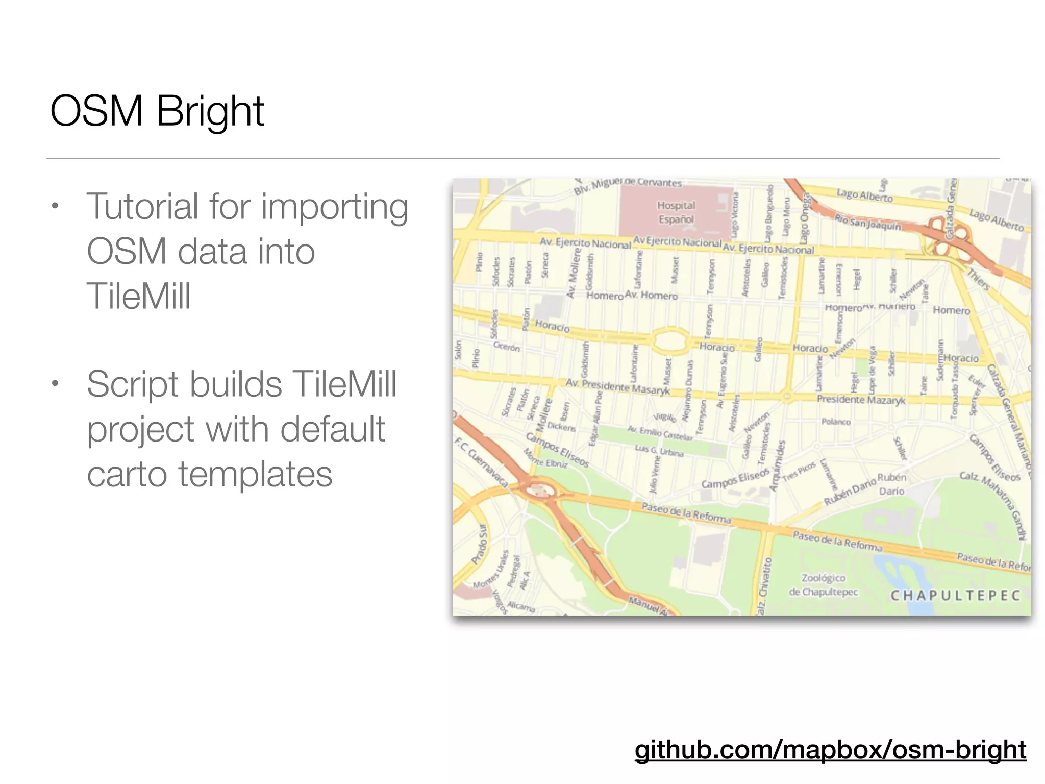
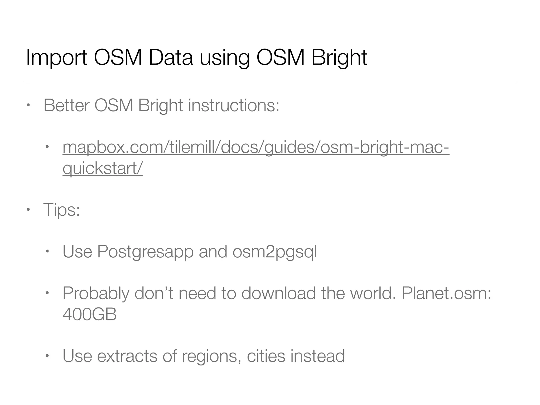
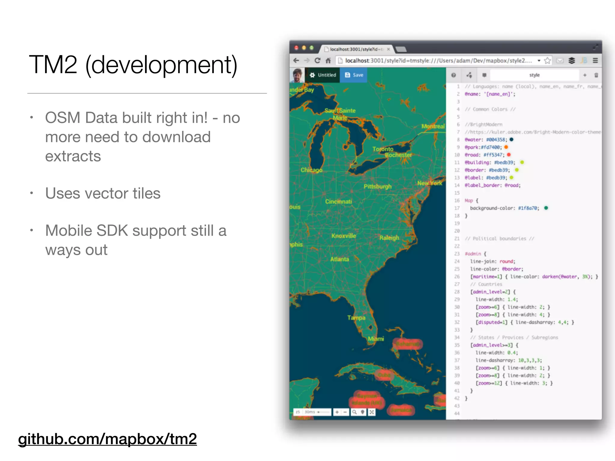


This document outlines the use of Mapbox and OpenStreetMap for building custom maps with Titanium, highlighting features such as simple map styling, offline capabilities, and various SDKs. It discusses the process of designing maps with Mapbox editors, hosting options, and utilizing the Titanium-Mapbox module for integration into applications. The document also covers advanced styling using TileMill and importing data from OpenStreetMap for enhanced map features.


![Computer Networks 01[1 using all terms].pptx](https://cdn.slidesharecdn.com/ss_thumbnails/computernetworks011-251214040533-327dd9f8-thumbnail.jpg?width=640&height=640&fit=bounds)


