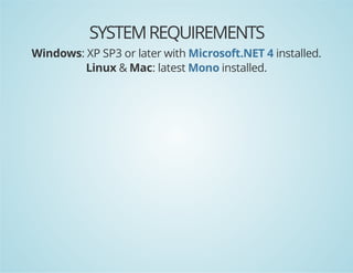
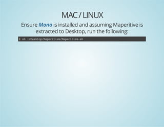
1. Maperitive is a free desktop application that allows users to create custom map tiles for bounded areas by defining map content and styles. It exports map tiles and bitmaps that can be used on the web.
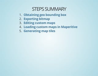
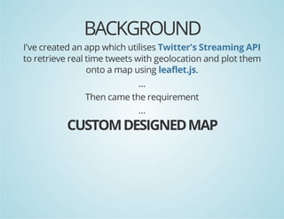
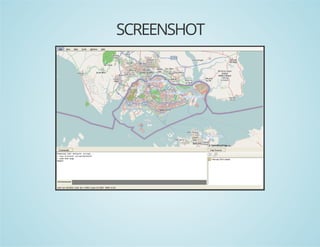
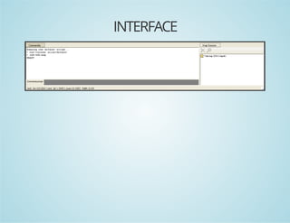
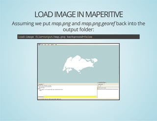
2. The presentation demonstrates how to use Maperitive to generate custom map tiles for a bounded area. This involves obtaining geographic coordinates, exporting bitmaps, editing maps, loading custom maps into Maperitive, and generating tiles.
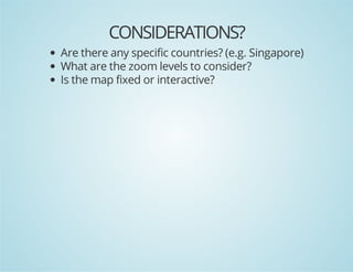
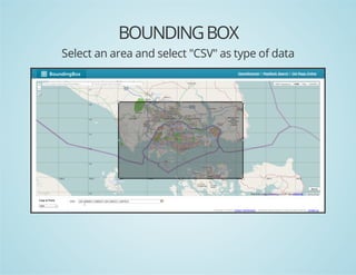
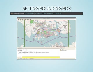
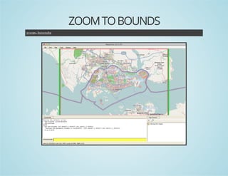
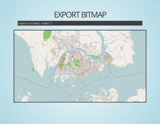
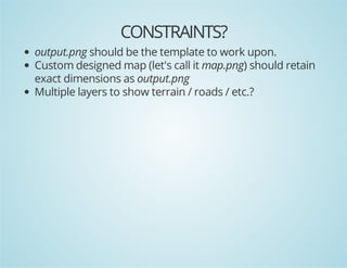
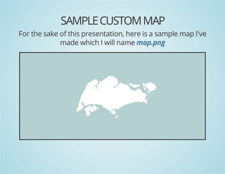
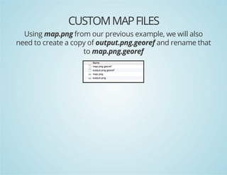
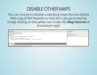
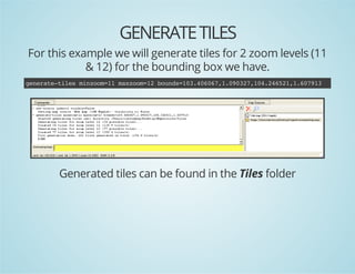
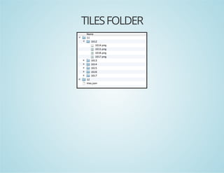
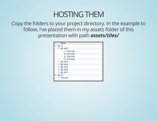
3. Key steps include setting the bounding box, exporting PNGs, designing custom maps to match the PNG templates, generating tiles for specific zoom levels, and hosting the tiles to reference them in code using Leaflet.js.


![EXAMPLE CODE
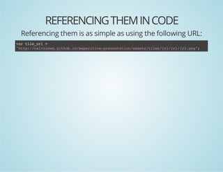
In this example, I will make use of leaflet.js.
/ cet bud
/ rae ons
vrbud =nwLLtnBud(
a ons
e .aLgons
nwLLtn(.937 13466)
e .aLg1002, 0.007
,nwLLtn(.093 14262)
e .aLg1671, 0.451
)
;
/ cet ampi te"a"dv stteve t agvnpaeadzo
/ rae
a n h mp i, e h iw o
ie lc n om
vrmp=Lmp'a' {
a a
.a(mp,
"etr :[.3,1380
cne"
135 0.2]
,"om :1
zo"
1
,"iZo":1
mnom
1
,"aZo":1
mxom
2
,"aBud":bud
mxons
ons
};
)
/ ada OeSreMptl lyr
/ d n pnteta ie ae
LtlLyr'tp/clinqgtu.omprtv-rsnainast/ie/z/x/y.n'
.ieae(ht:/avnw.ihbi/aeiiepeetto/sestls{}{}{}pg
atiuin "avnscso mpdsg"
trbto: Cli' utm a ein
,mnom 1
iZo: 1
,mxom 1
aZo: 2
}.dT(a)
)adomp;](https://image.slidesharecdn.com/maperitive-presentation-131023021946-phpapp02/85/Maperitive-36-320.jpg)