Download to read offline

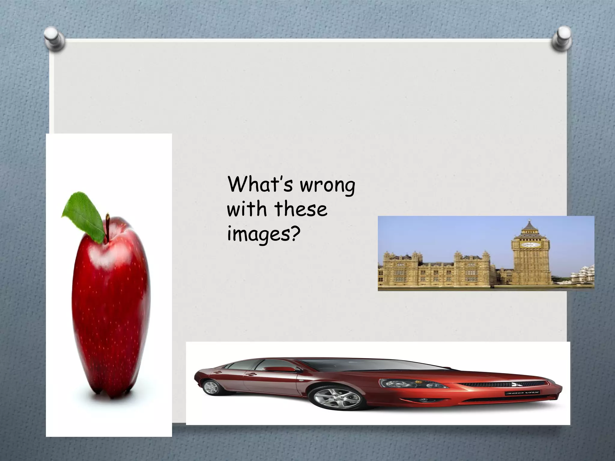
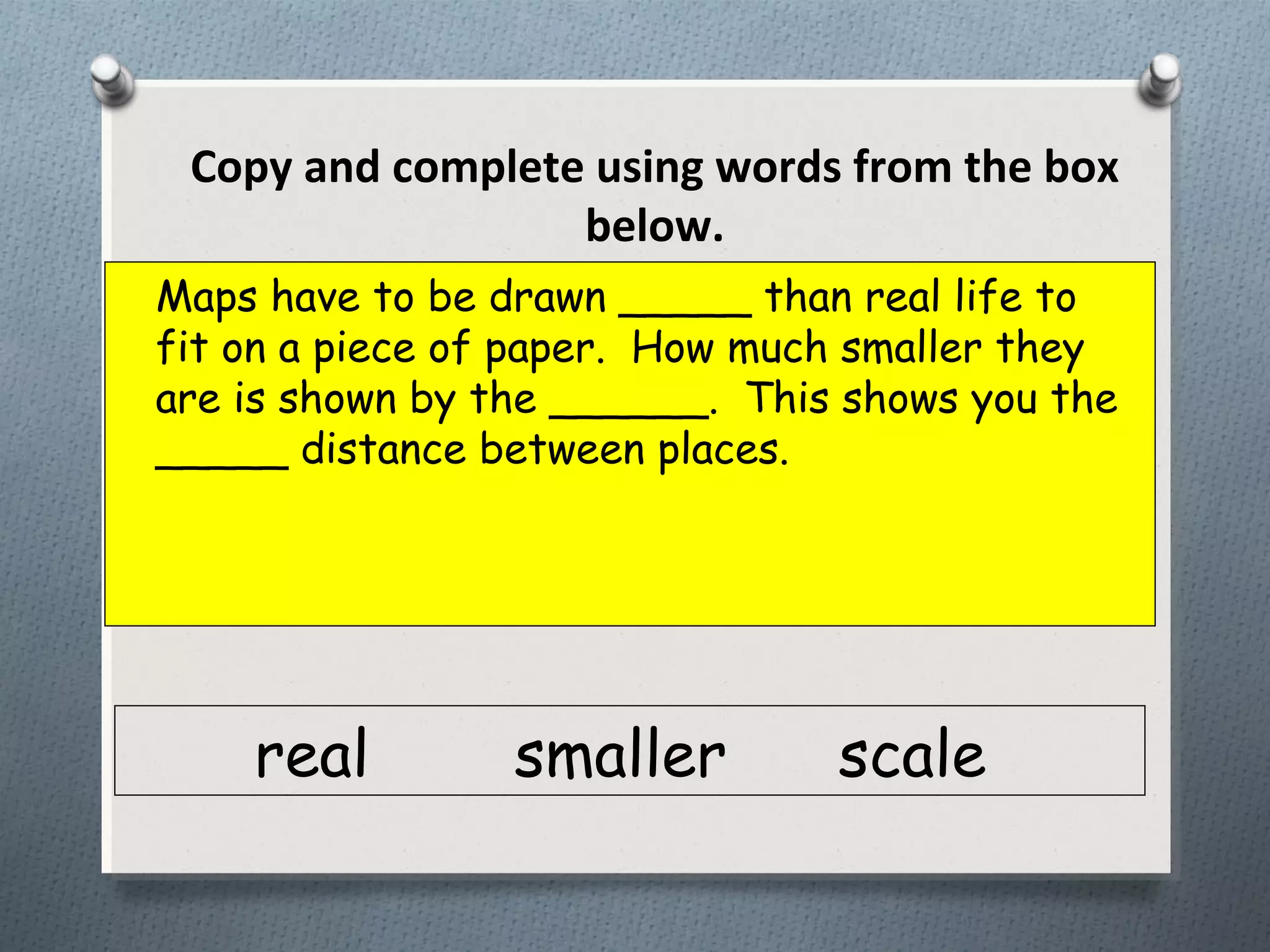
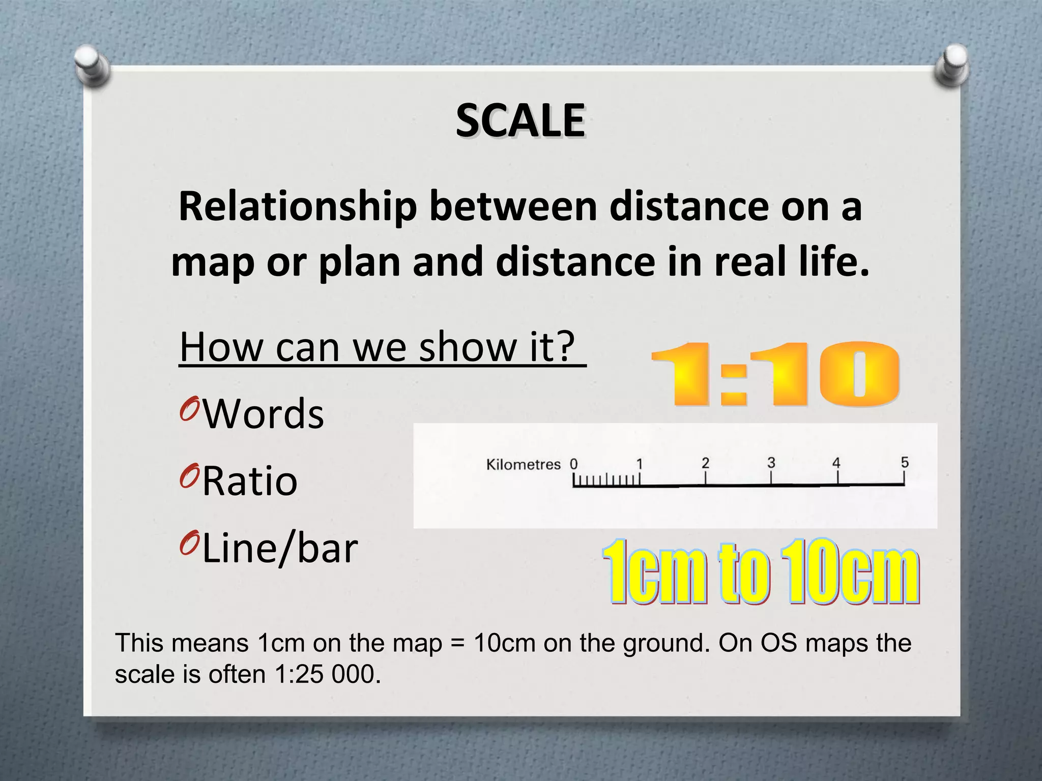

The document discusses scale and distance in maps. It aims to explain what scale is, the three types of scale, and how to calculate distance using scale. Scale refers to the ratio between distances on a map and in real life. Maps need to be drawn smaller than real life to fit on paper, and the scale shows how much smaller by indicating the relationship between distances.


