Download to read offline


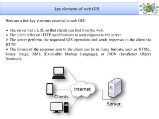
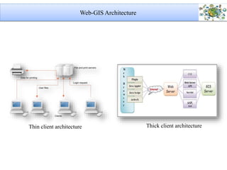
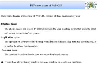
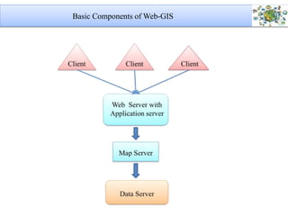
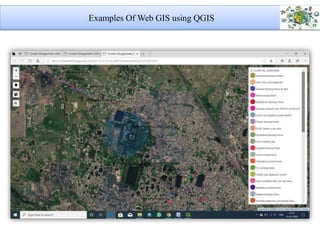
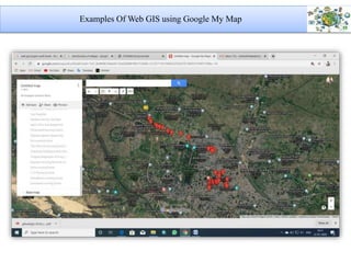

The document discusses Web GIS, a distributed information system comprising a server and client architecture that utilizes the Internet for GIS operations. Key elements include user interface, application, and database layers, which handle requests and responses for map visualizations. It highlights the characteristics and components of Web GIS, along with examples using QGIS and Google My Maps.