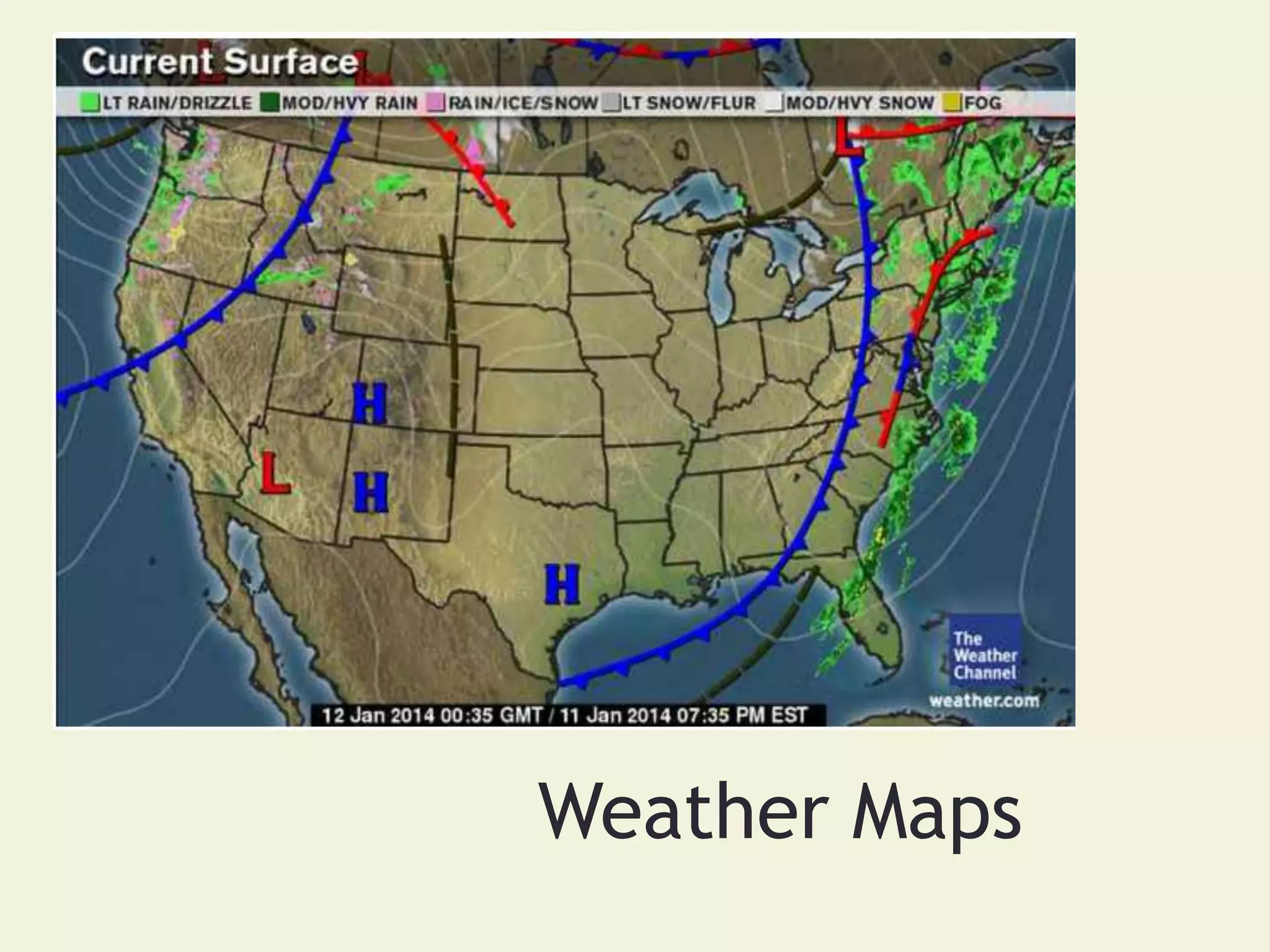
The document discusses weather maps and how they are used to predict weather conditions. It provides information on several key topics:
- The atmosphere helps regulate Earth's temperature and creates weather through the movement of air masses. Weather maps show current conditions.
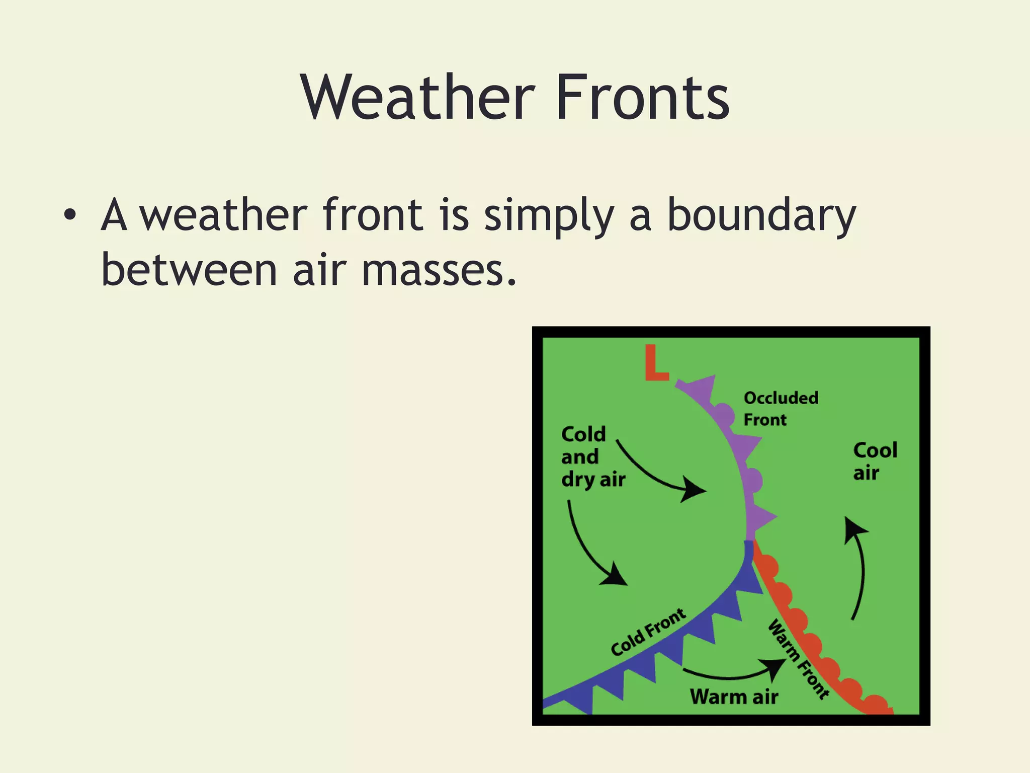
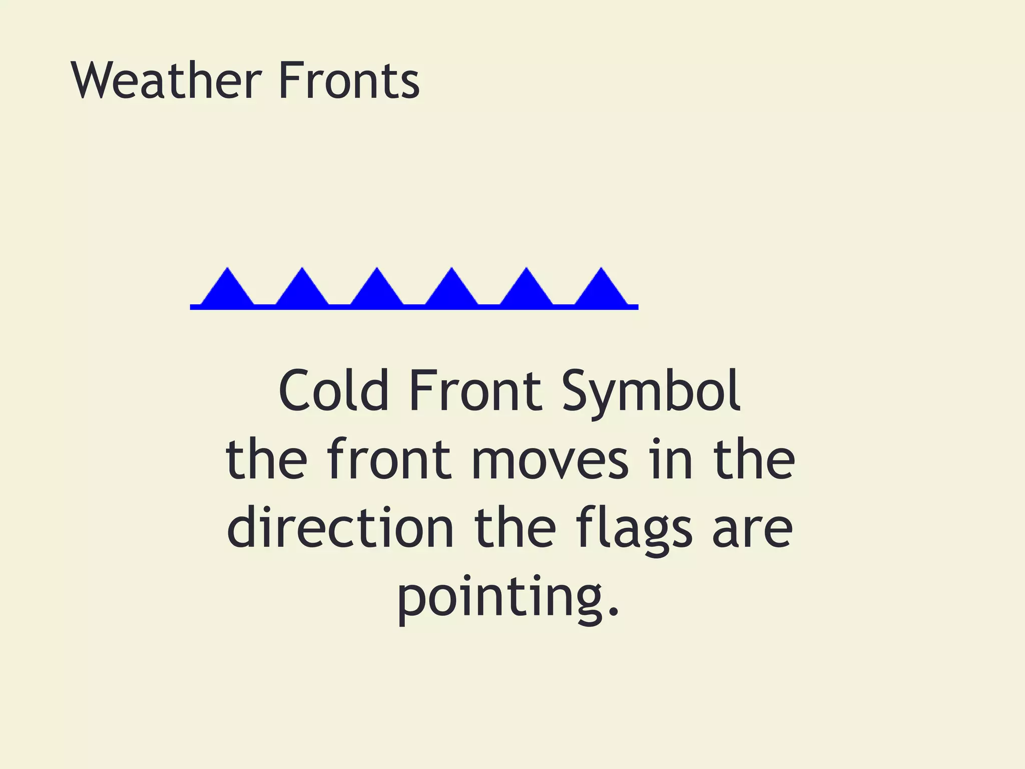
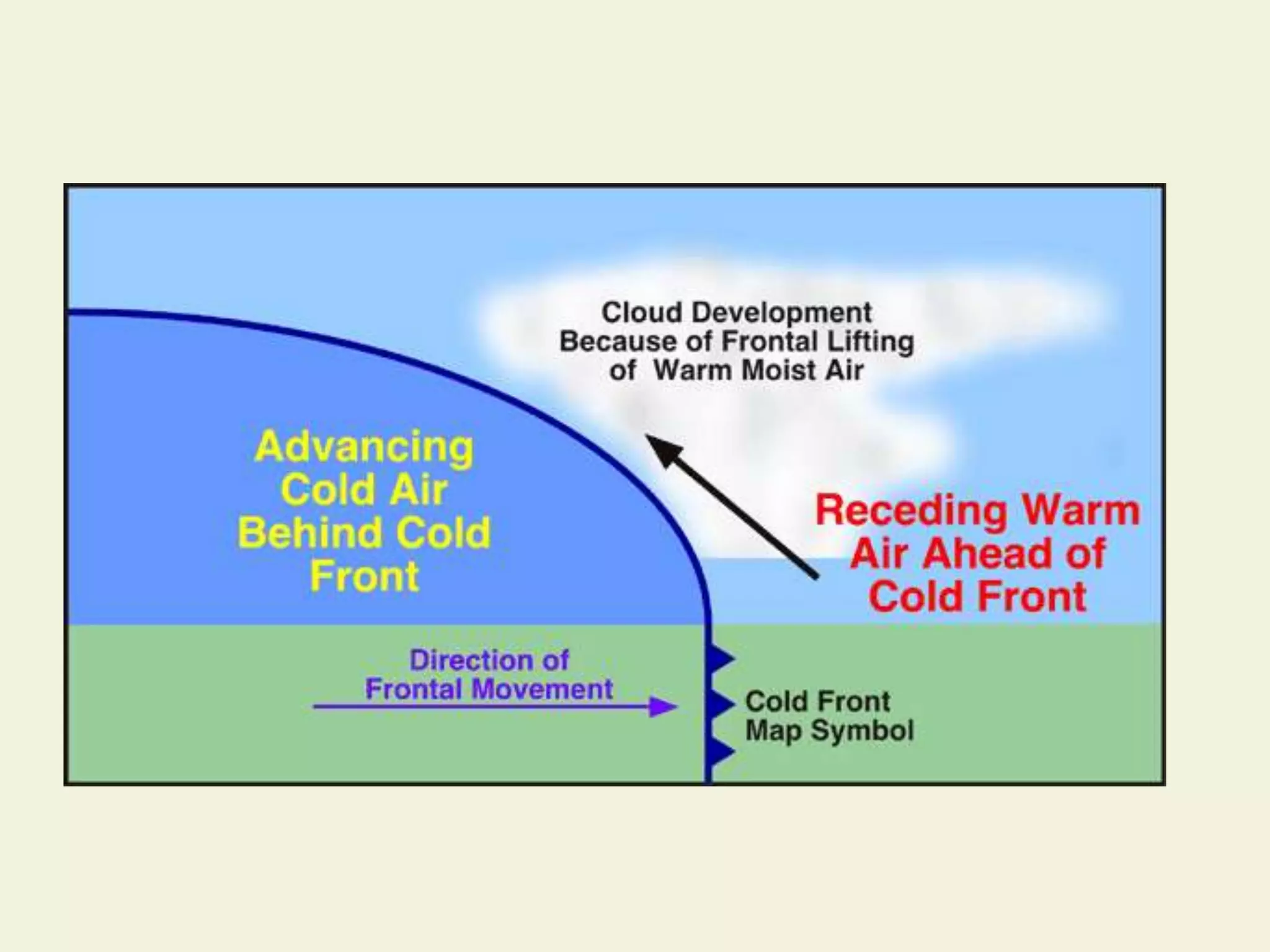
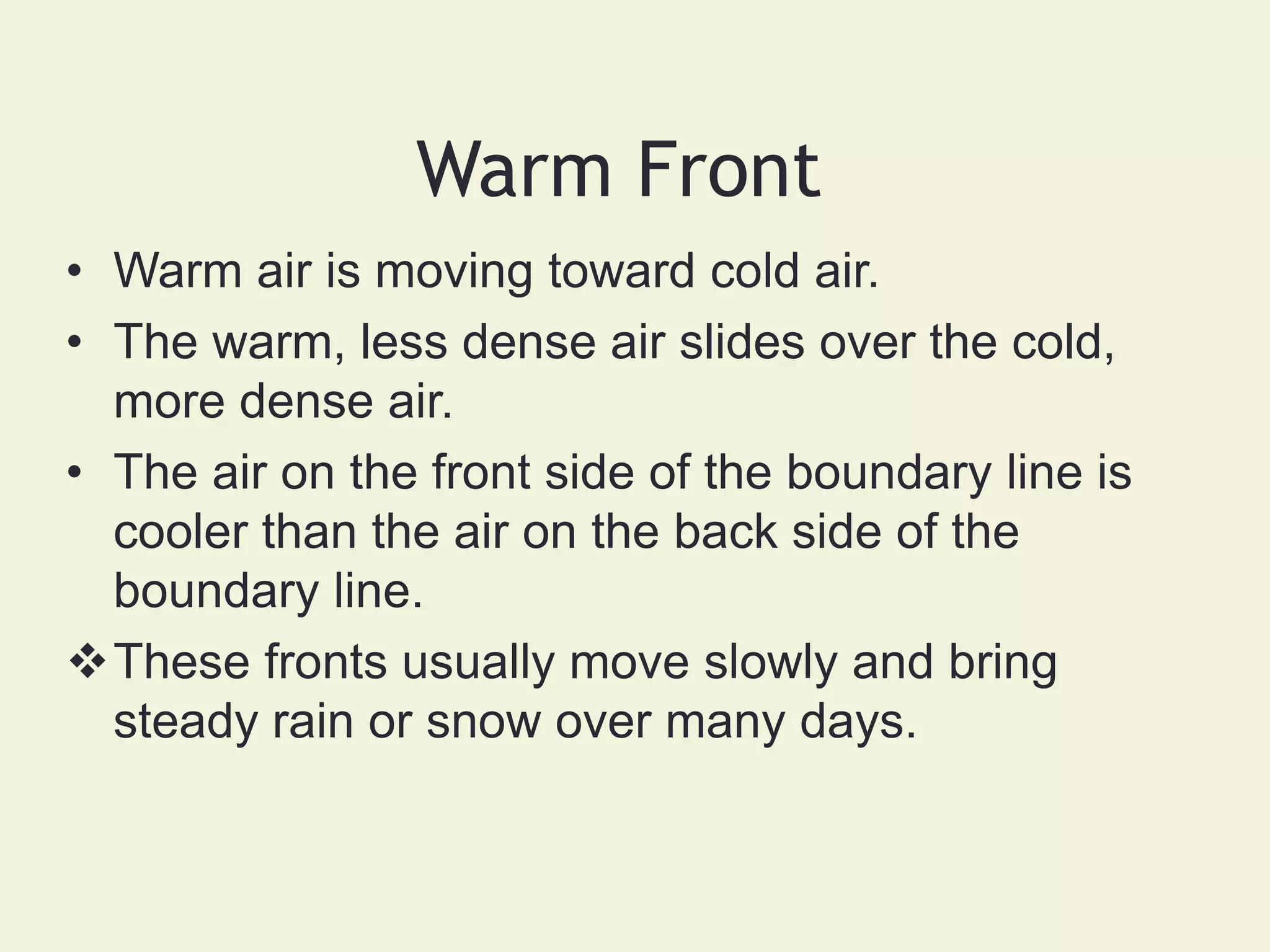
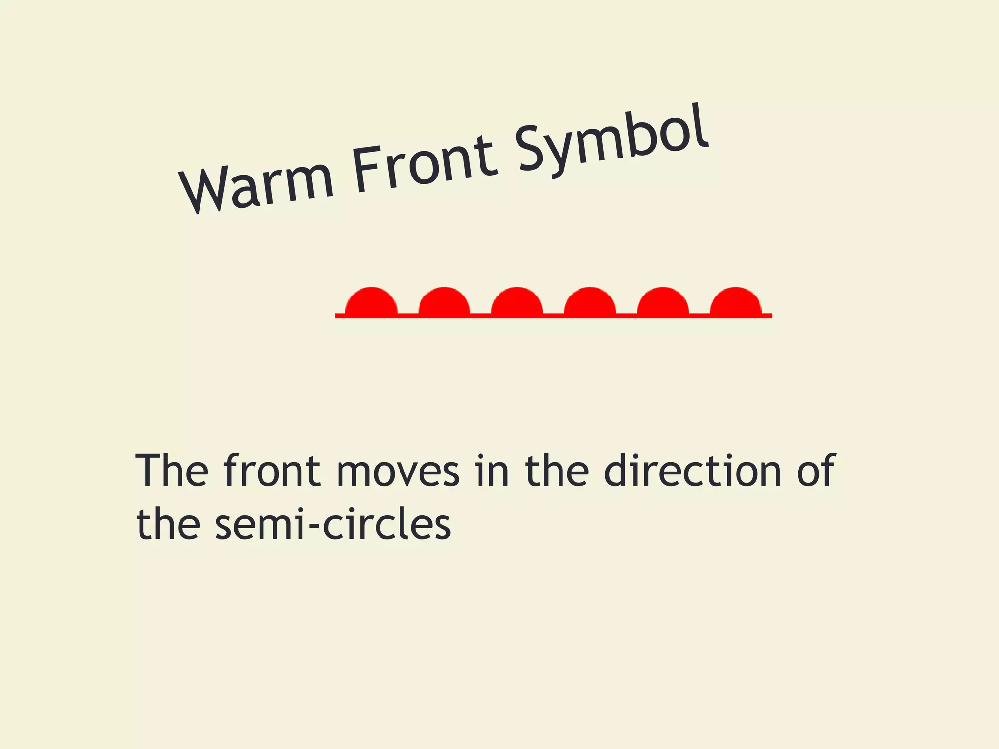
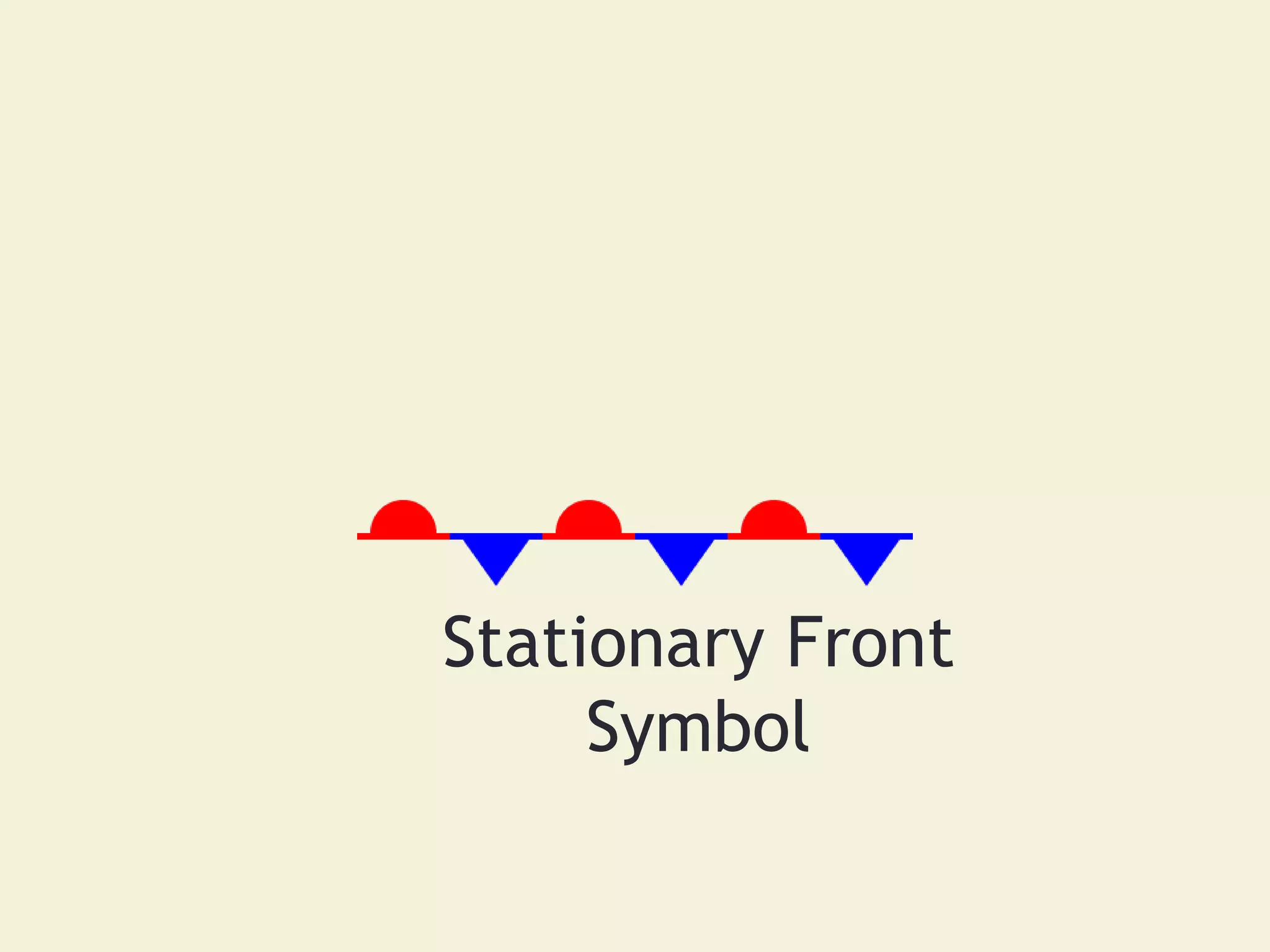
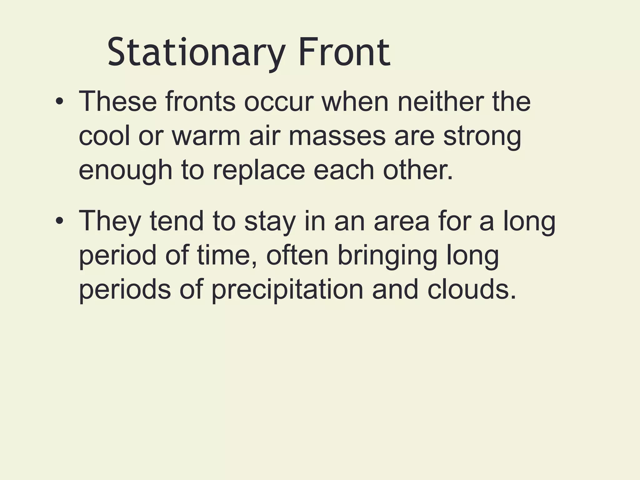
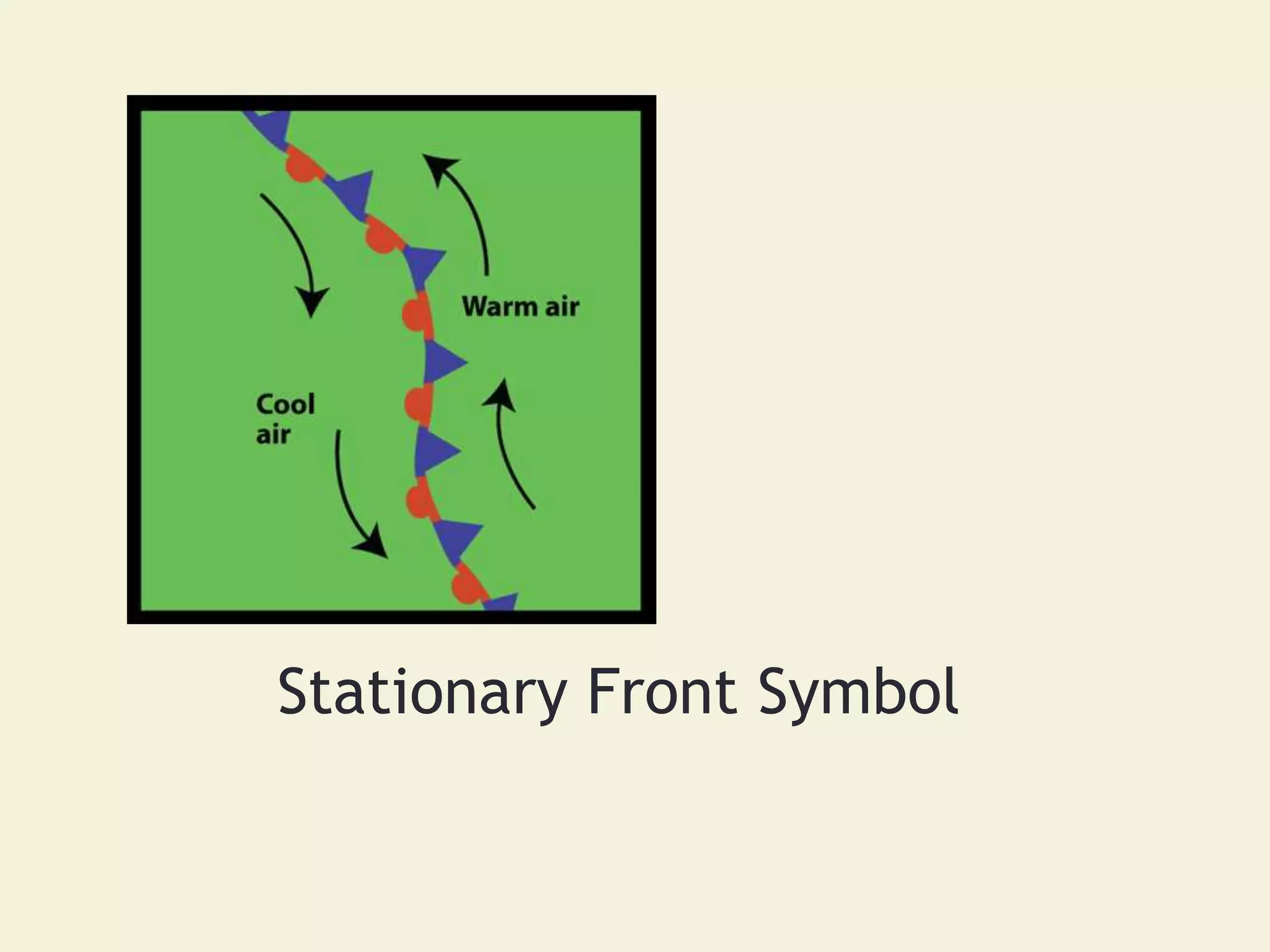
- Weather is influenced by properties like temperature, humidity and pressure. Maps depict systems like cold fronts, warm fronts and stationary fronts to understand weather changes.
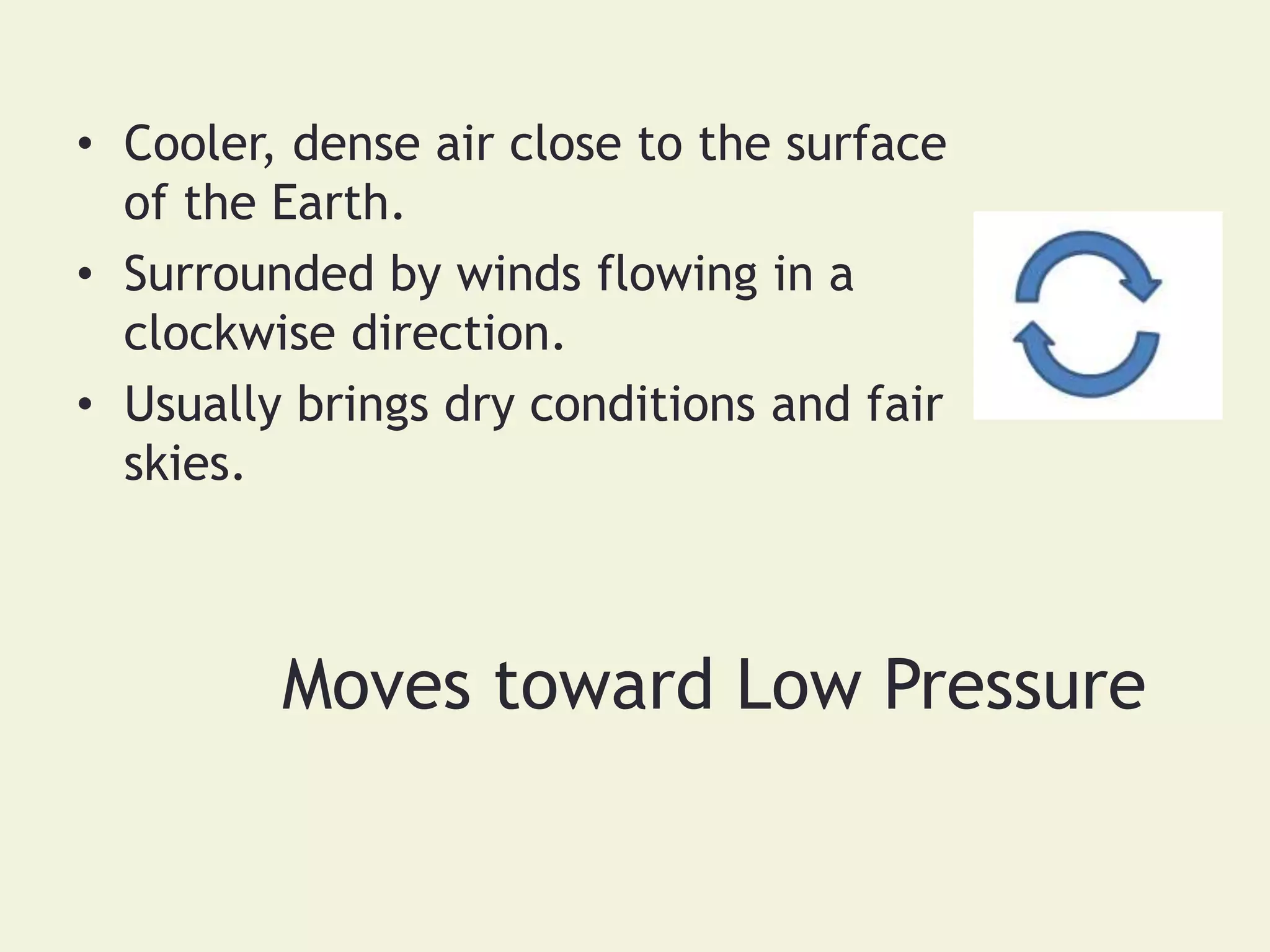
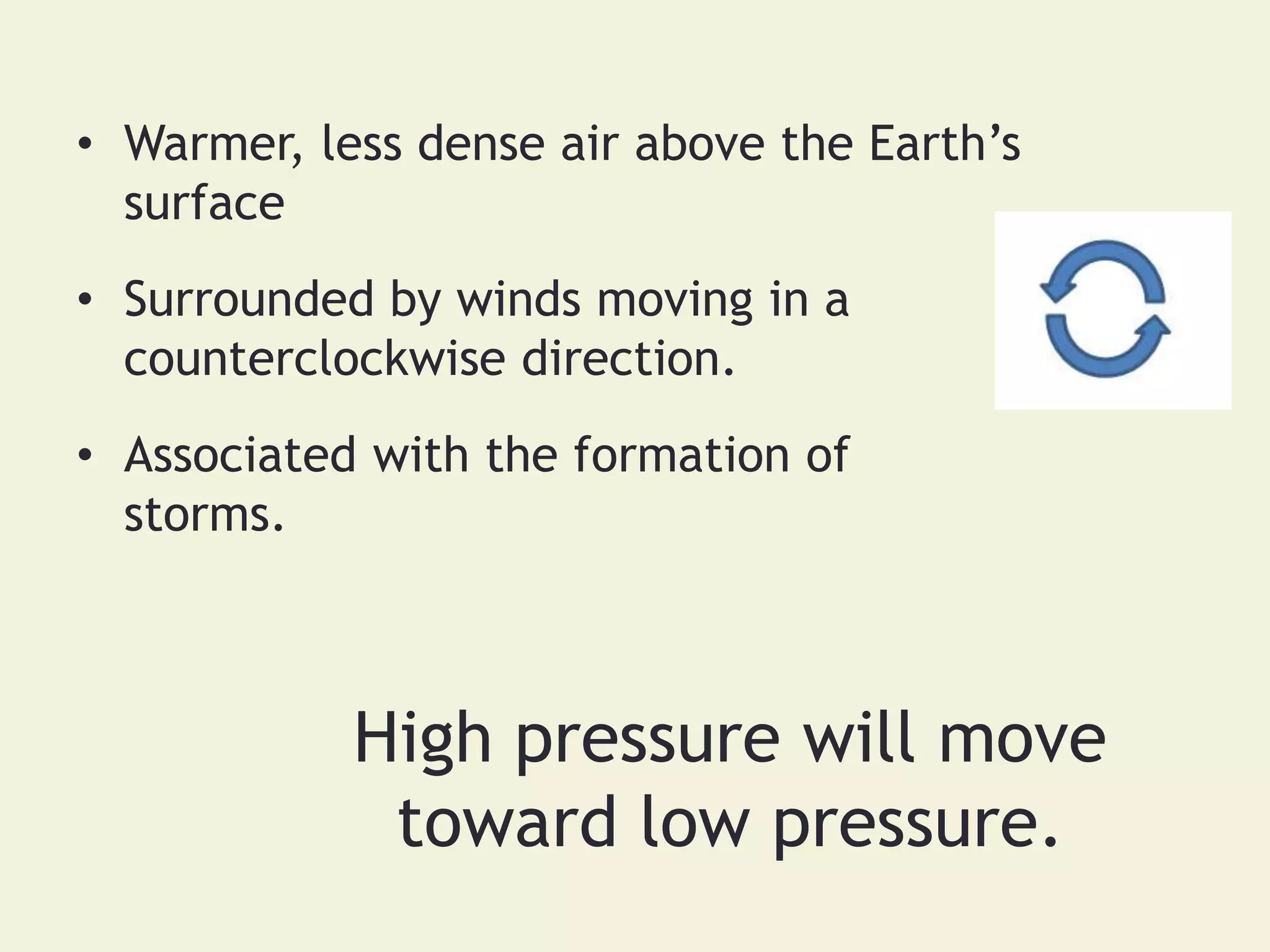
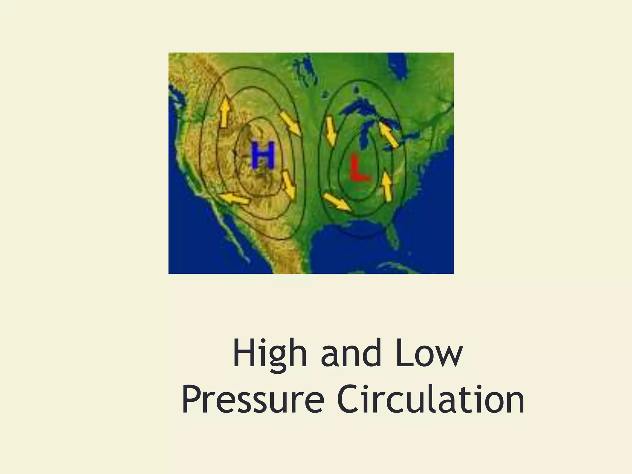
- High and low pressure areas circulate clockwise and counterclockwise respectively, affecting wind patterns and whether conditions will be clear or stormy. Weather maps are interpreted to forecast upcoming weather.