Virtual training in the use of remote sensing for the agriculture sector in Pakistan
•
0 likes•23 views

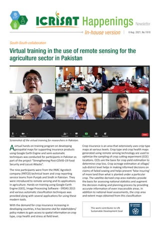
A virtual hands-on training program on developing geospatial maps for supporting insurance products using Google Earth Engine and semi-automatic techniques was conducted for participants in Pakistan as part of the project “Strengthening Post-COVID-19 Food Security and Locust Attacks”. The nine participants were from the PARC Agrotech company (PATCO) technical team and crop reporting service teams from Punjab and Sindh in Pakistan. They were introduced to remote sensing and its applications in agriculture. Hands-on training using Google Earth Engine (GEE), Image Processing Software – ERDAS 2015 and various automatic classification techniques was provided along with several applications for using these modern tools.
Recommended

Recommended
More Related Content
What's hot
What's hot (20)
Similar to Virtual training in the use of remote sensing for the agriculture sector in Pakistan
Similar to Virtual training in the use of remote sensing for the agriculture sector in Pakistan (20)
More from ICRISAT
More from ICRISAT (20)
Recently uploaded
Recently uploaded (20)
Virtual training in the use of remote sensing for the agriculture sector in Pakistan
- 1. Newsletter Happenings In-house version 6 Aug 2021, No.1918 Avirtual hands-on training program on developing geospatial maps for supporting insurance products using Google Earth Engine and semi-automatic techniques was conducted for participants in Pakistan as part of the project “Strengthening Post-COVID-19 Food Security and Locust Attacks”. The nine participants were from the PARC Agrotech company (PATCO) technical team and crop reporting service teams from Punjab and Sindh in Pakistan. They were introduced to remote sensing and its applications in agriculture. Hands-on training using Google Earth Engine (GEE), Image Processing Software - ERDAS 2015 and various automatic classification techniques was provided along with several applications for using these modern tools. With the demand for crop insurance increasing in developing countries, it has become vital for stakeholders/ policy makers to gain access to spatial information on crop type, crop health and stress at field level. South-South collaboration Virtual training in the use of remote sensing for the agriculture sector in Pakistan Screenshot of the virtual training for researchers in Pakistan. Crop insurance is an area that extensively uses crop type maps at various levels. Crop type and crop health maps generated using remote sensing technology are used to optimize the sampling of crop cutting experiment (CCE) locations. CCEs are the basis for crop yield estimation to determine crop loss. Crop acreage estimation at village/ sub-district level helps in making informed decisions on claims of failed sowing and helps prevent ‘false insuring’ of more land than what is planted under a particular crop. The satellite-derived crop area statistics provide the basis for assessing national statistics and augment the decision-making and planning process by providing accurate information of even inaccessible areas. In addition to national-level assessments, the crop area and extent maps obtained from this classification This work contributes to UN Sustainable Development Goal