Download as PDF, PPTX
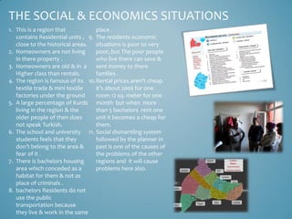
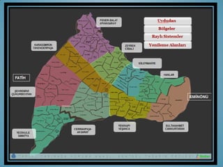


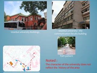
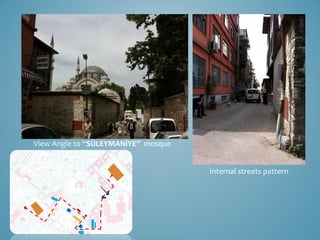

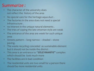
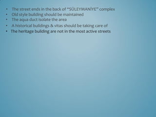
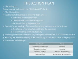

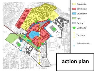

The document discusses the historical significance and urban development of Istanbul, particularly focusing on the 'Süleymaniye' district. It highlights issues related to social and economic conditions, the need for architectural preservation, and urban planning proposals aimed at revitalizing the area. The action plan includes creating tourist routes, enhancing public spaces, and addressing housing and infrastructure concerns.


