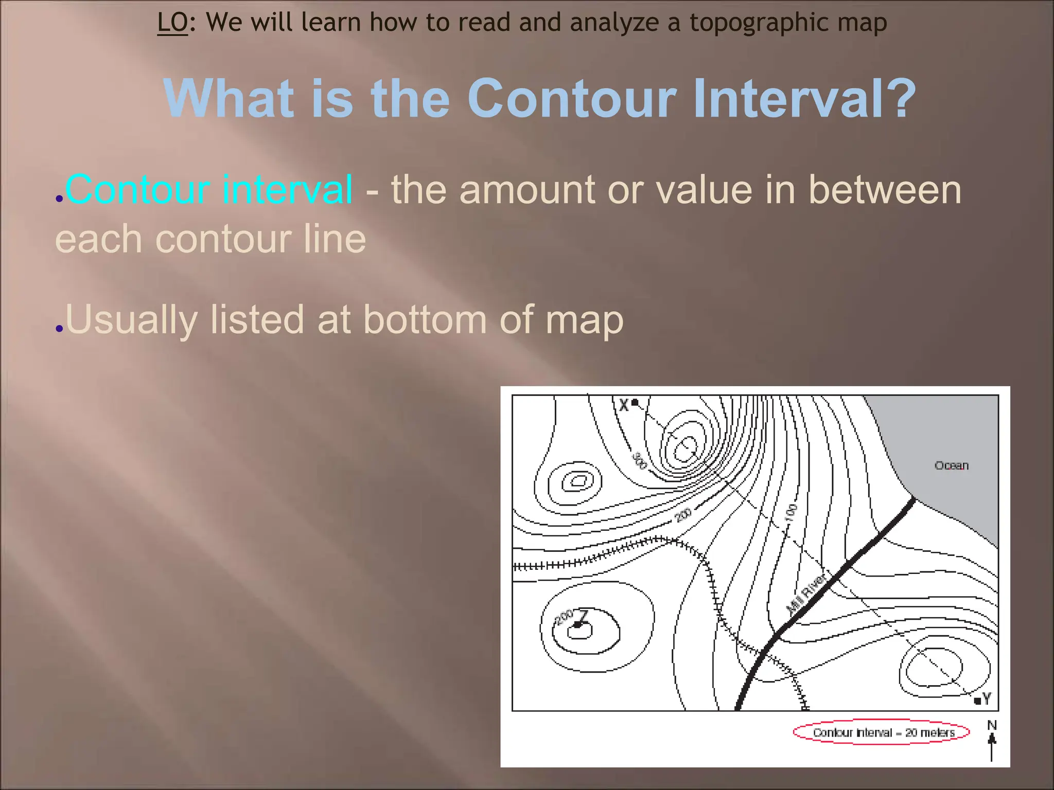
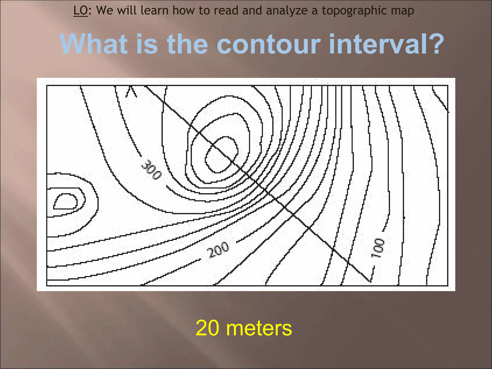
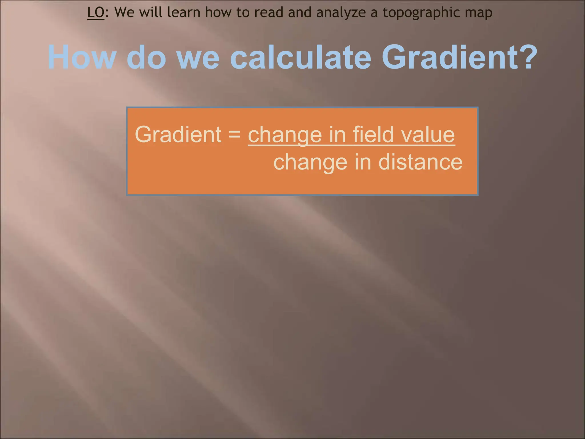
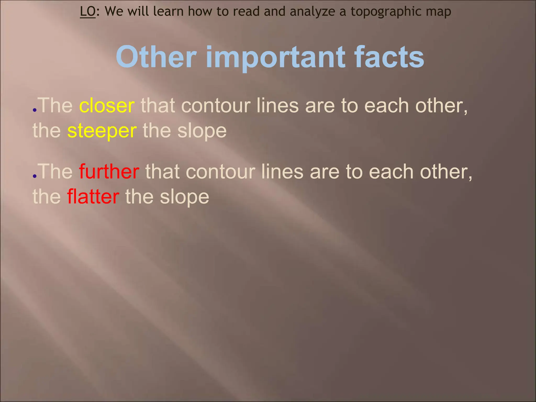
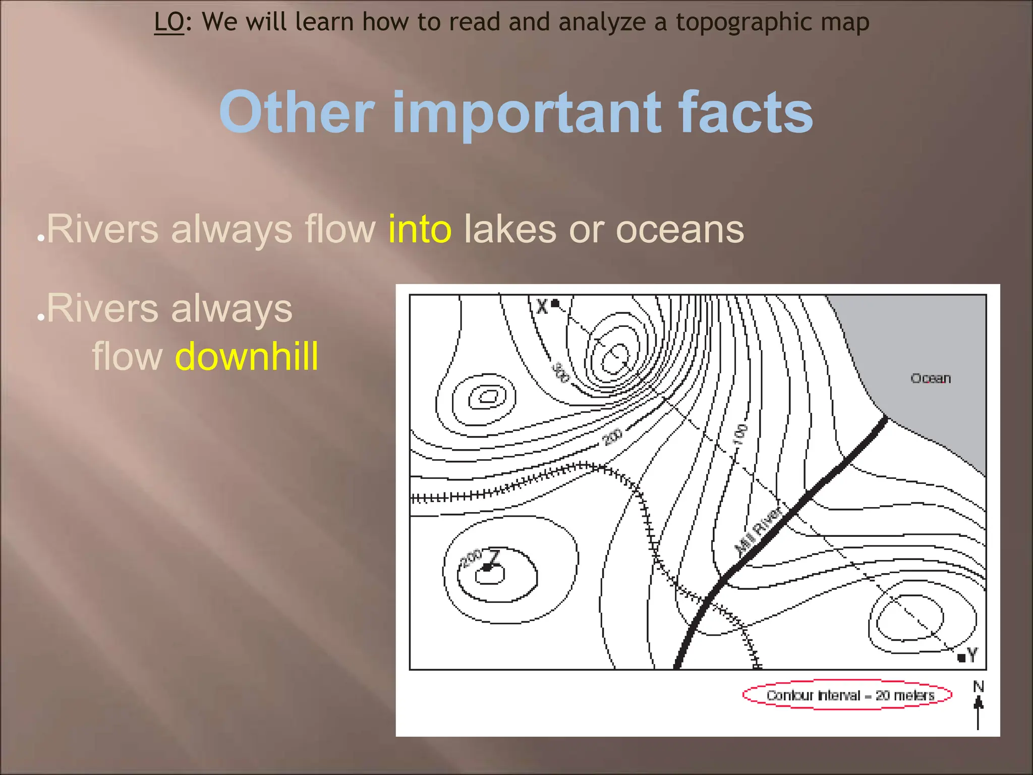
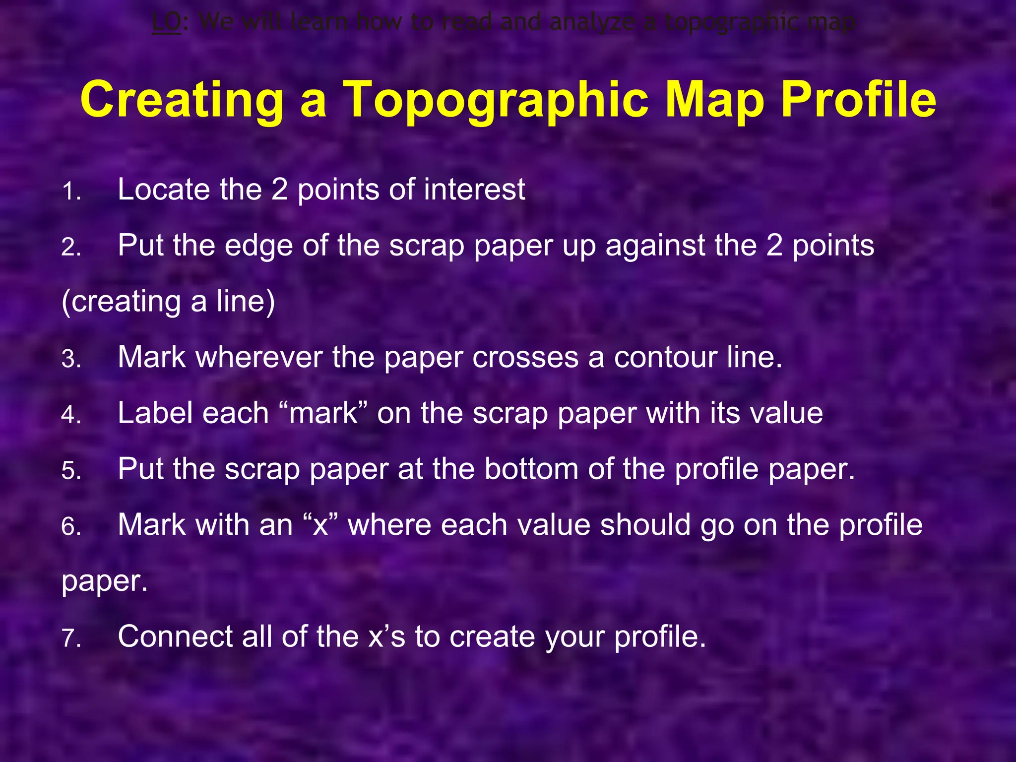
LESSON 4 – TOPOGRAPHIC MAPS
Learning Objective: We will learn how
to read and analyze a topographic map
Do Now: Fill in the heading for
Lesson 4
Ms. Sgambati 9/16/11
Earth Science
What is a Topographic map?
LO: We will learn how to read and analyze a topographic map
● Topographic map - a map that shows the
elevation of an area of Earth
What is an isoline?
●Isoline - a line that connect points of equal value
●Examples:
●Isotherms – An isoline that connects points of equal temperature
●Isobars – An isoline that connects points of equal pressure
●Contour lines – An isoline that connects points of equal elevation
LO: We will learn how to read and analyze a topographic map
Topographic map
LO: We will learn how to read and analyze a topographic map
What is the Contour Interval?
●Contour interval - the amount or value in between
each contour line
●Usually listed at bottom of map
LO: We will learn how to read and analyze a topographic map
What is the contour interval?
LO: We will learn how to read and analyze a topographic map
20 meters
What is the gradient?
●Gradient = the slope of an
area
LO: We will learn how to read and analyze a topographic map
Gradient = change in field value
change in distance
●Field value = the value of the contour line of each point
●Distance = the distance between the 2 points on the map
● Use map scale on bottom
LO: We will learn how to read and analyze a topographic map
How do we calculate Gradient?
● “Change in field value”:
1. Locate the 2 points of interest (ex. A and B)
1. Subtract these 2 values to get the “change in field value”
LO: We will learn how to read and analyze a topographic map
How do we calculate Gradient?
●“Change in distance”:
1.Put scrap paper up against the 2 points so the paper creates a
line between them
1.Mark both points on scrap paper
1.Put the scrap paper up to the “map scale” & read distance
LO: We will learn how to read and analyze a topographic map
How do we calculate Gradient?
Gradient = change in field value
change in distance
LO: We will learn how to read and analyze a topographic map
Other important facts
●The closer that contour lines are to each other,
the steeper the slope
●The further that contour lines are to each other,
the flatter the slope
LO: We will learn how to read and analyze a topographic map
Steepest area =
Flattest area =
LO: We will learn how to read and analyze a topographic map
A
B
C
C
B
●Rivers always flow into lakes or oceans
●Rivers always
flow downhill
LO: We will learn how to read and analyze a topographic map
Other important facts
What is a Topographic Map Profile?
●A topographic map profile
is what the land looks like
when looking directly at it
(from the ground)
LO: We will learn how to read and analyze a topographic map
Creating a Topographic Map Profile
1. Locate the 2 points of interest
2. Put the edge of the scrap paper up against the 2 points
(creating a line)
3. Mark wherever the paper crosses a contour line.
4. Label each “mark” on the scrap paper with its value
5. Put the scrap paper at the bottom of the profile paper.
6. Mark with an “x” where each value should go on the profile
paper.
7. Connect all of the x’s to create your profile.
LO: We will learn how to read and analyze a topographic map

Topographic Maps.ppt.pptx

  • 1.
    LESSON 4 –TOPOGRAPHIC MAPS Learning Objective: We will learn how to read and analyze a topographic map Do Now: Fill in the heading for Lesson 4 Ms. Sgambati 9/16/11 Earth Science
  • 2.
    What is aTopographic map? LO: We will learn how to read and analyze a topographic map ● Topographic map - a map that shows the elevation of an area of Earth
  • 3.
    What is anisoline? ●Isoline - a line that connect points of equal value ●Examples: ●Isotherms – An isoline that connects points of equal temperature ●Isobars – An isoline that connects points of equal pressure ●Contour lines – An isoline that connects points of equal elevation LO: We will learn how to read and analyze a topographic map
  • 4.
    Topographic map LO: Wewill learn how to read and analyze a topographic map
  • 5.
    What is theContour Interval? ●Contour interval - the amount or value in between each contour line ●Usually listed at bottom of map LO: We will learn how to read and analyze a topographic map
  • 6.
    What is thecontour interval? LO: We will learn how to read and analyze a topographic map 20 meters
  • 7.
    What is thegradient? ●Gradient = the slope of an area LO: We will learn how to read and analyze a topographic map
  • 8.
    Gradient = changein field value change in distance ●Field value = the value of the contour line of each point ●Distance = the distance between the 2 points on the map ● Use map scale on bottom LO: We will learn how to read and analyze a topographic map How do we calculate Gradient?
  • 9.
    How do wecalculate Gradient? ● “Change in field value”: 1. Locate the 2 points of interest (ex. A and B) 1. Subtract these 2 values to get the “change in field value” LO: We will learn how to read and analyze a topographic map
  • 10.
    How do wecalculate Gradient? ●“Change in distance”: 1.Put scrap paper up against the 2 points so the paper creates a line between them 1.Mark both points on scrap paper 1.Put the scrap paper up to the “map scale” & read distance LO: We will learn how to read and analyze a topographic map
  • 11.
    How do wecalculate Gradient? Gradient = change in field value change in distance LO: We will learn how to read and analyze a topographic map
  • 12.
    Other important facts ●Thecloser that contour lines are to each other, the steeper the slope ●The further that contour lines are to each other, the flatter the slope LO: We will learn how to read and analyze a topographic map
  • 13.
    Steepest area = Flattestarea = LO: We will learn how to read and analyze a topographic map A B C C B
  • 14.
    ●Rivers always flowinto lakes or oceans ●Rivers always flow downhill LO: We will learn how to read and analyze a topographic map Other important facts
  • 15.
    What is aTopographic Map Profile? ●A topographic map profile is what the land looks like when looking directly at it (from the ground) LO: We will learn how to read and analyze a topographic map
  • 16.
    Creating a TopographicMap Profile 1. Locate the 2 points of interest 2. Put the edge of the scrap paper up against the 2 points (creating a line) 3. Mark wherever the paper crosses a contour line. 4. Label each “mark” on the scrap paper with its value 5. Put the scrap paper at the bottom of the profile paper. 6. Mark with an “x” where each value should go on the profile paper. 7. Connect all of the x’s to create your profile. LO: We will learn how to read and analyze a topographic map