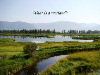
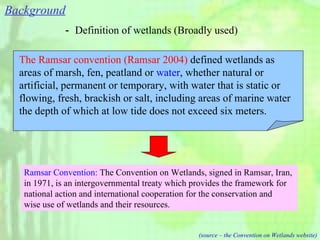
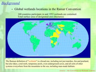
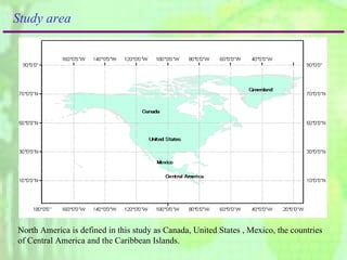
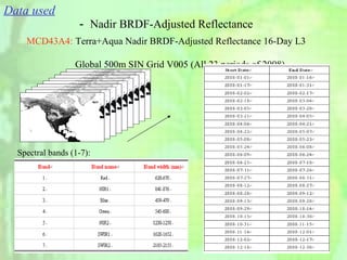
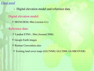
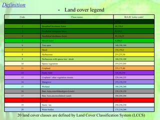
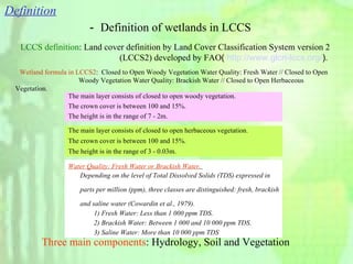
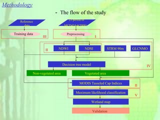
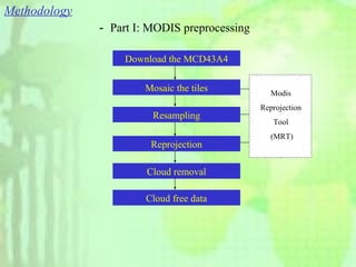
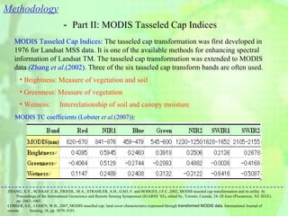
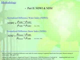
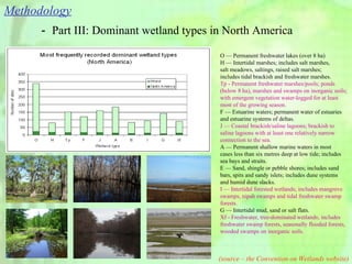
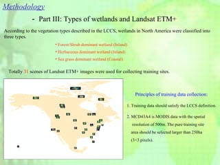
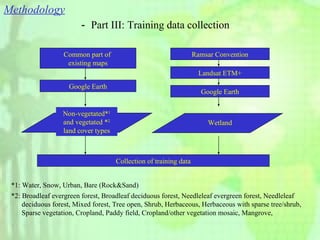
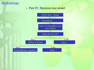
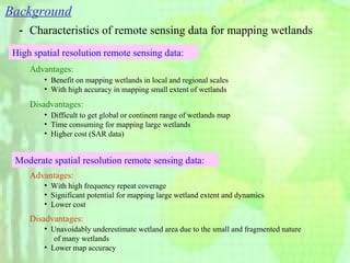
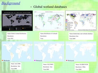
The document discusses mapping wetlands in North America using MODIS 500m imagery. It describes wetlands and existing global wetland databases. The methodology uses MODIS data from 2008, digital elevation models, and reference data to classify wetlands into three types - forest/shrub dominant wetlands, herbaceous dominant wetlands, and sea grass dominant wetlands. Training data is collected from existing land cover maps and Landsat imagery. A decision tree model and maximum likelihood classification are applied to extract wetlands from other land covers.