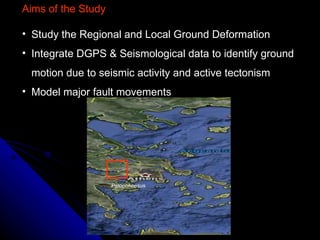
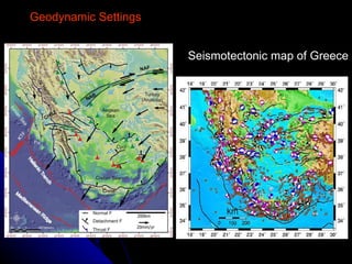
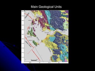
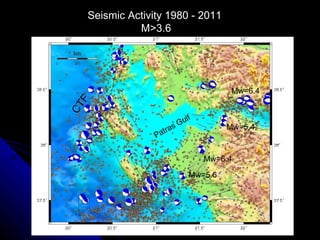
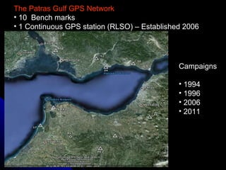
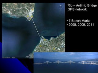
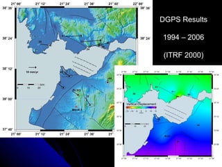
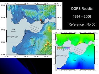
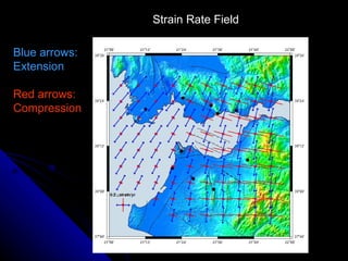
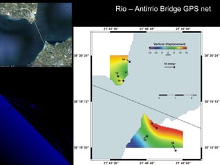
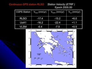
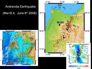
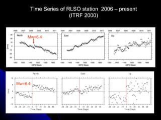
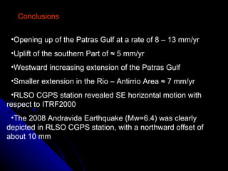
This study analyzed crustal deformation in the seismically active Patras Gulf region of Greece using GPS data. The GPS network was established in 1994 and expanded through additional campaigns in 1996, 2006, and 2011. The data show the Patras Gulf is opening up at a rate of 8-13 mm/yr with uplift of 5 mm/yr in the south. A continuous GPS station revealed southeast horizontal motion of 17.4 mm/yr and a clear signal from the 2008 Mw 6.4 Andravida earthquake. The results indicate increasing extension across the gulf and smaller extension near the Rio-Antirrio bridge area.