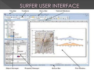
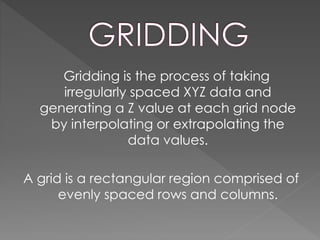
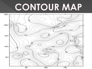
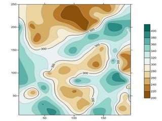
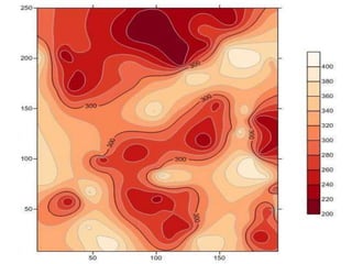
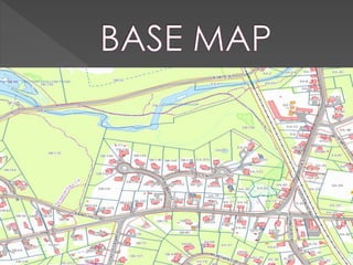
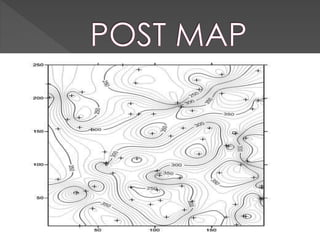
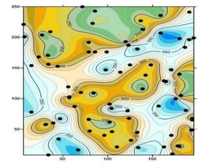
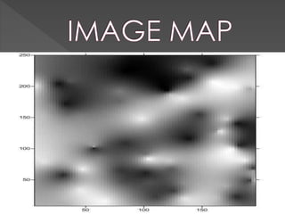
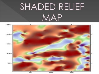
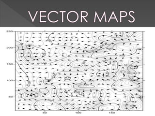
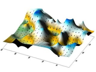
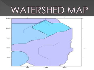
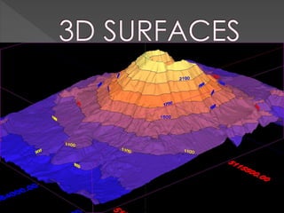
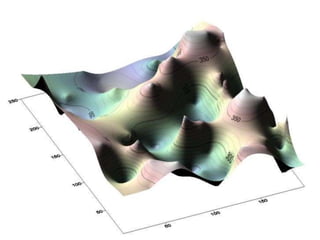
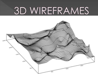
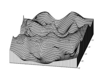
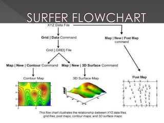
 CONTOURING
 GRIDDING
 SURFACE MAPPING
 It can generate maps quickly and easily
 Maps can be displayed and enhanced
in Surfer. Adding multiple map layers
 customizing the map display, and
annotating with text creates publication
quality maps
 Grid based mapping program
 Interpolates Irregularly spaced XYZ data
into a regularly spaced grids
 Grids can be imported from Sources like
(USGS) United States Geological urvey
Gridding is the process of taking
irregularly spaced XYZ data and
generating a Z value at each grid node
by interpolating or extrapolating the
data values.
A grid is a rectangular region comprised of
evenly spaced rows and columns.
Several different map types can be
created, modified, and displayed with
Surfer providing XYZ Data of any field or
using different techniques for our own
understanding
Surfer
Surfer
Surfer
Surfer
Surfer
Surfer
Surfer
Surfer
Surfer
Surfer
Surfer
Surfer
Surfer
Surfer
Surfer
Surfer
Surfer

Surfer

  • 2.
  • 3.
     It cangenerate maps quickly and easily  Maps can be displayed and enhanced in Surfer. Adding multiple map layers  customizing the map display, and annotating with text creates publication quality maps
  • 4.
     Grid basedmapping program  Interpolates Irregularly spaced XYZ data into a regularly spaced grids  Grids can be imported from Sources like (USGS) United States Geological urvey
  • 6.
    Gridding is theprocess of taking irregularly spaced XYZ data and generating a Z value at each grid node by interpolating or extrapolating the data values. A grid is a rectangular region comprised of evenly spaced rows and columns.
  • 7.
    Several different maptypes can be created, modified, and displayed with Surfer providing XYZ Data of any field or using different techniques for our own understanding