Download to read offline

This document presents a comparative study of slope stability analysis using GeoStudio and PLAXIS 2D software. The study focuses on analyzing a slope in the Thodupuzha-Cheruthoni road in Kerala, India that is prone to landslides. Laboratory tests are conducted to determine the soil properties at the site. Numerical models are developed using GeoStudio and PLAXIS to analyze seepage patterns and slope stability. The factor of safety results from both software are compared to identify any differences in their accuracy and efficiency for seepage and slope stability analysis of road embankments. The findings of this study can help determine the most appropriate software for analyzing slope stability and maintaining safe slopes for roads.


![Geotechnical Engineering-II [Lec #17: Bearing Capacity of Soil]](https://cdn.slidesharecdn.com/ss_thumbnails/17-181123045836-thumbnail.jpg?width=640&height=640&fit=bounds)

![Geotechnical Engineering-II [Lec #15 & 16: Schmertmann Method]](https://cdn.slidesharecdn.com/ss_thumbnails/15-181020124920-thumbnail.jpg?width=640&height=640&fit=bounds)


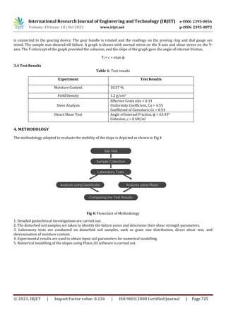
![Geotechnical Engineering-II [Lec #9+10: Westergaard Theory]](https://cdn.slidesharecdn.com/ss_thumbnails/9-181020124827-thumbnail.jpg?width=640&height=640&fit=bounds)


![Geotechnical Engineering-I [Lec #21: Consolidation Problems]](https://cdn.slidesharecdn.com/ss_thumbnails/21-180924141121-thumbnail.jpg?width=640&height=640&fit=bounds)
![Geotechnical Engineering-I [Lec #13: Soil Compaction]](https://cdn.slidesharecdn.com/ss_thumbnails/13-180923184035-thumbnail.jpg?width=640&height=640&fit=bounds)


![Geotechnical Engineering-II [Lec #18: Terzaghi Bearing Capacity Equation]](https://cdn.slidesharecdn.com/ss_thumbnails/18-181123045854-thumbnail.jpg?width=640&height=640&fit=bounds)
![Geotechnical Engineering-II [Lec #7A: Boussinesq Method]](https://cdn.slidesharecdn.com/ss_thumbnails/7a-181020124807-thumbnail.jpg?width=640&height=640&fit=bounds)


