Downloaded 397 times
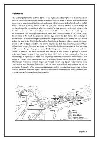
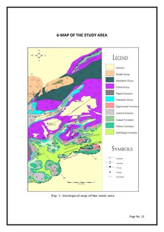

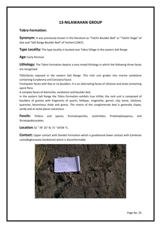

The document is a dissertation on the geology and paleontology of the Salt Range in Pakistan, expressing gratitude to advisors and detailing group members. It includes in-depth sections on the area's tectonics, stratigraphy, and geological features, emphasizing its importance as a field museum of geology and paleontology. The study aims to analyze various geological formations, their composition, and the unique ecological aspects of the salt range region.


