Downloaded 1,351 times

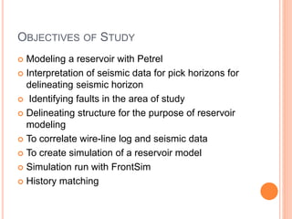

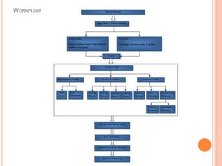
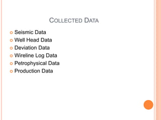
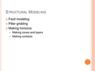
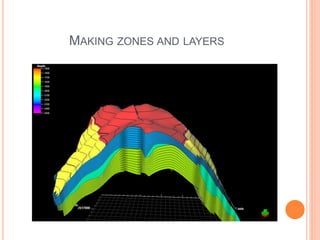
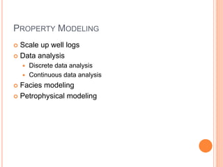
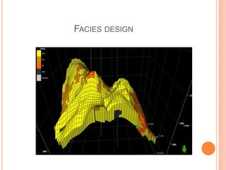
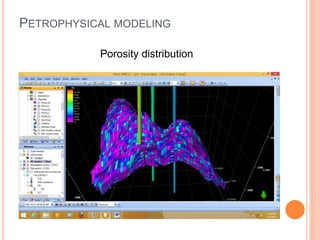
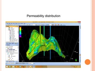
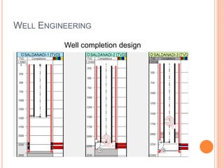

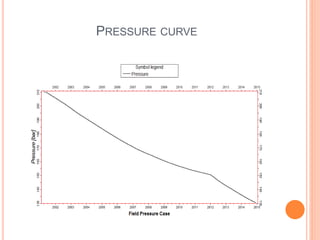
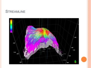


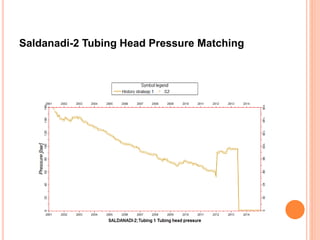


This document summarizes the process of reservoir modeling and simulation for the Saldanadi Gas Field in Bangladesh using Petrel 2009.1.1 and FrontSim software. The workflow includes collecting seismic, well, and production data; interpreting horizons and faults from seismic lines; developing structural and stratigraphic models; modeling properties; simulating initial conditions and production; and history matching simulation results to field data. The objectives are to better understand reservoir characteristics, locate new wells, and forecast production and investment needs to further develop the field.