Download to read offline
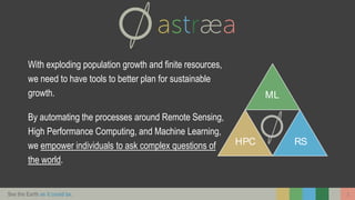

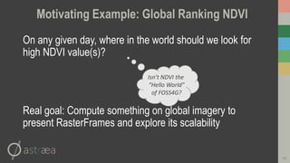

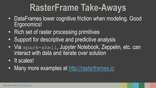

The document presents a framework called RasterFrames, designed to facilitate the analysis of global-scale remote sensing imagery using geospatial machine learning. It identifies the challenges posed by data dimensionality, density, and computational requirements, while showcasing how RasterFrames integrates with popular data processing libraries. The framework aims to enhance sustainability planning by enabling users to explore complex questions about the Earth's resources through scalable data analysis.