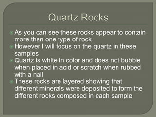
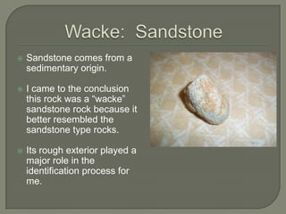
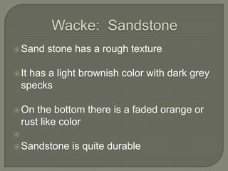
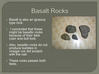
This document summarizes a field/lab project conducted by Brisa Ramirez. Some key points:
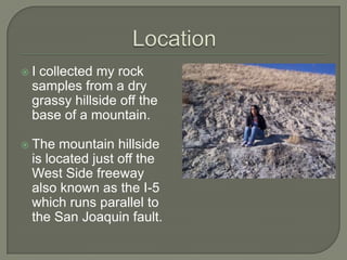
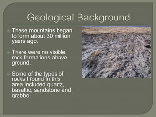
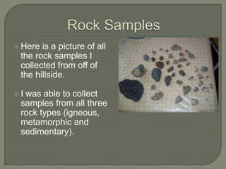
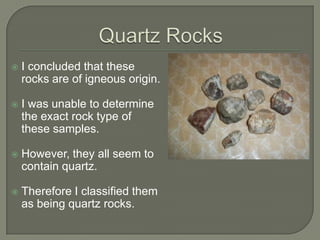
- Rock samples were collected from a hillside near the San Joaquin fault line in California. Samples included quartz, basalt, sandstone and gabbro.
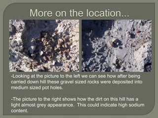
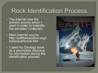
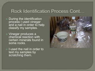
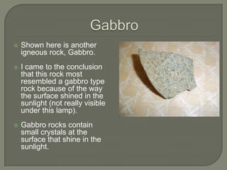
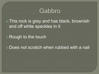
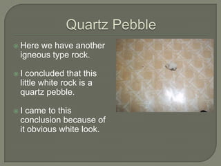
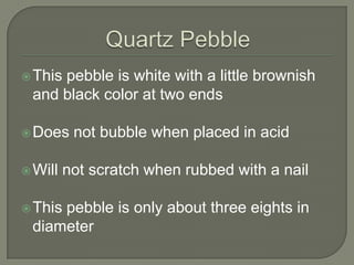
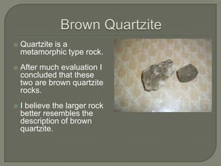
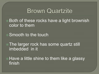
- The location and various rock samples are described in detail. Identification methods included using acid tests and scratch tests.
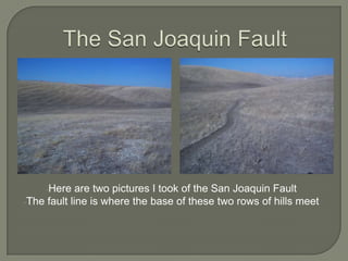
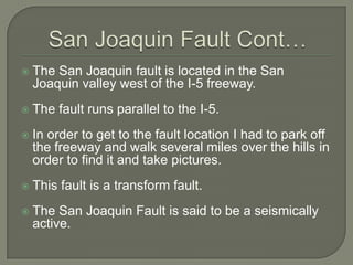
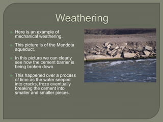
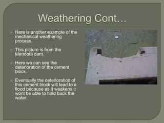
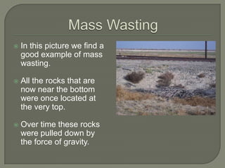
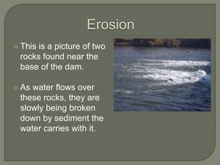
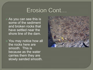
- Pictures show examples of the San Joaquin fault line, weathering processes like mechanical weathering, mass wasting and erosion.
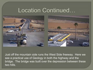
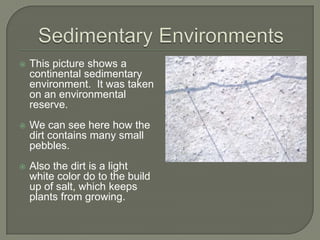
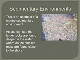
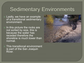
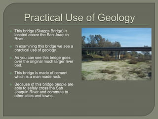
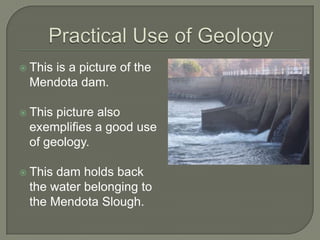
- Additional pictures depict sedimentary environments like continental and marine, as well as bridges and dams as practical applications of geology.