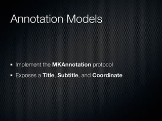
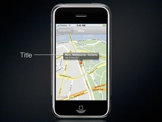
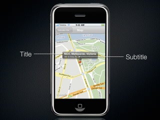
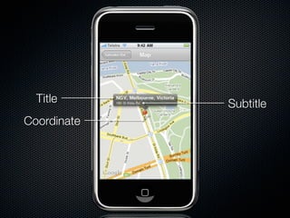
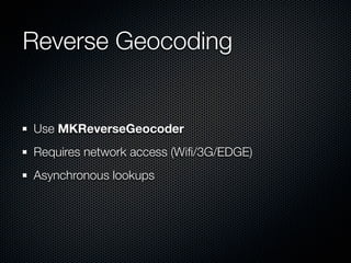
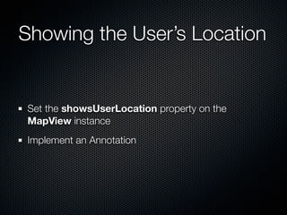
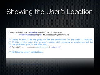
The document provides an introduction to using MapKit in iPhone applications, explaining the process of adding maps, managing annotations, and utilizing geocoding functionalities. It outlines steps for setting map positions, displaying user locations, and creating custom annotation views. Additionally, it references resources for further learning about MapKit integration and usage.
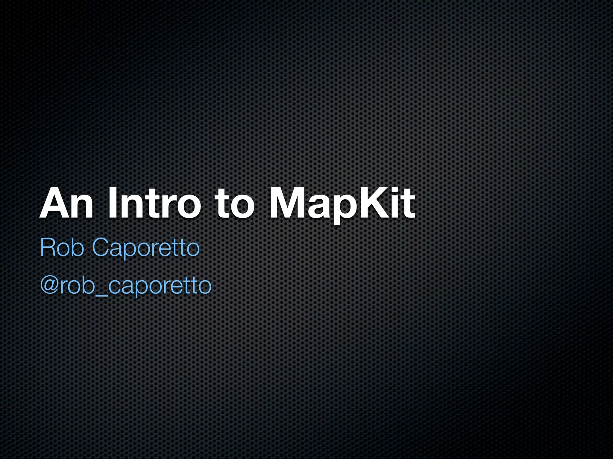


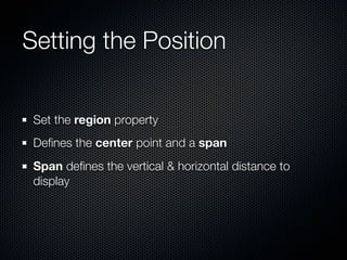
![Setting the Position
- (void)viewDidLoad
{
MKCoordinateRegion region;
region.center.latitude = [eventVenue.latitude doubleValue];
region.center.longitude = [eventVenue.longitude doubleValue];
region.span.latitudeDelta = 0.0039;
region.span.longitudeDelta = 0.0034;
mapView.region = region;
}](https://image.slidesharecdn.com/mapkit101melbcocoa20090709-090709222700-phpapp02/85/Introduction-to-MapKit-15-320.jpg)


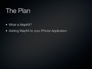
![Managing Annotation Views
- (MKAnnotationView *)mapView:(MKMapView *)theMapView
viewForAnnotation:(id <MKAnnotation>)annotation
{
MKPinAnnotationView *annotationView =
(MKPinAnnotationView *)([theMapView
dequeueReusableAnnotationViewWithIdentifier:@"annotation"]);
if (annotationView == NULL)
{
annotationView = [[[MKPinAnnotationView alloc]
initWithAnnotation:annotation reuseIdentifier:@"annotation"] autorelease];
annotationView.canShowCallout = YES;
annotationView.animatesDrop = YES;
}
annotationView.annotation = annotation;
return annotationView;
}](https://image.slidesharecdn.com/mapkit101melbcocoa20090709-090709222700-phpapp02/85/Introduction-to-MapKit-25-320.jpg)


![[shaderx7] 4.1 Practical Cascaded Shadow Maps](https://cdn.slidesharecdn.com/ss_thumbnails/4-1practicalcascadedshadowmaps-100125174455-phpapp01-thumbnail.jpg?width=640&height=640&fit=bounds)


