Download to read offline

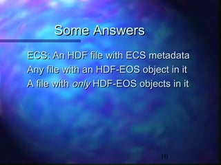
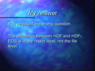
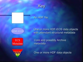
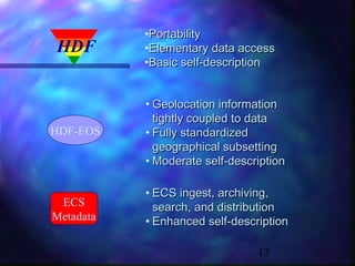
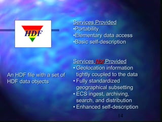
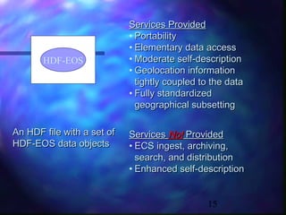
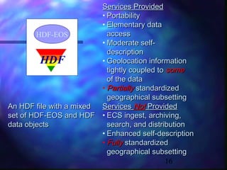
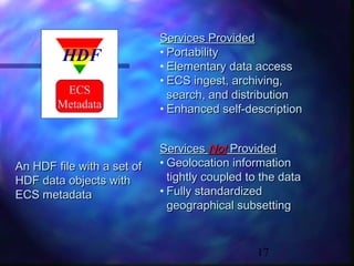
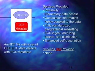
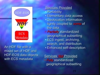

An HDF-EOS file contains one or more HDF-EOS data objects along with metadata. It provides geolocation information coupled to data, standardized subsetting by geography or time, and ECS metadata for archiving and distribution. The difference between HDF and HDF-EOS is at the object level within a file, not the file type itself. A file can contain both HDF and HDF-EOS objects.