Download to read offline

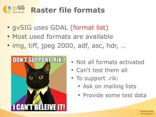
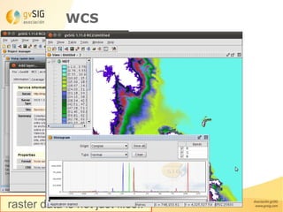
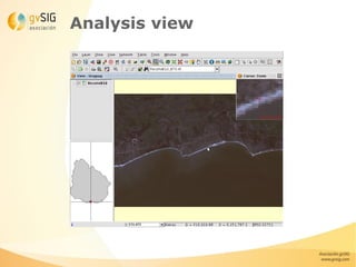
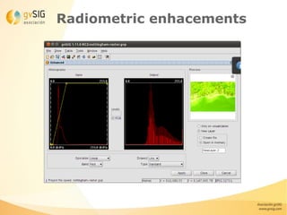
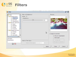
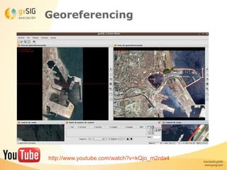
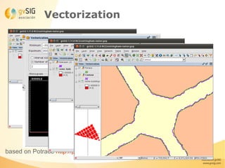
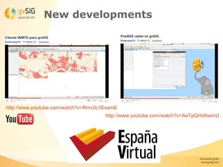


This document summarizes raster file support and functionality in gvSIG Desktop. It discusses supported file formats using GDAL, basic raster metadata viewing and editing tools, histogram viewing, symbology options, analysis views, filters, georeferencing, vectorization of raster data, and new developments like remote sensing extensions and integration with SEXTANTE. It provides example videos and credits various image sources.


![Getting Started with Apache Spark: Big Data Made Simple [Free Meetup]](https://cdn.slidesharecdn.com/ss_thumbnails/apachesparkgettingstarted-260203175547-8361bcc3-thumbnail.jpg?width=640&height=640&fit=bounds)


