Download as PDF, PPTX

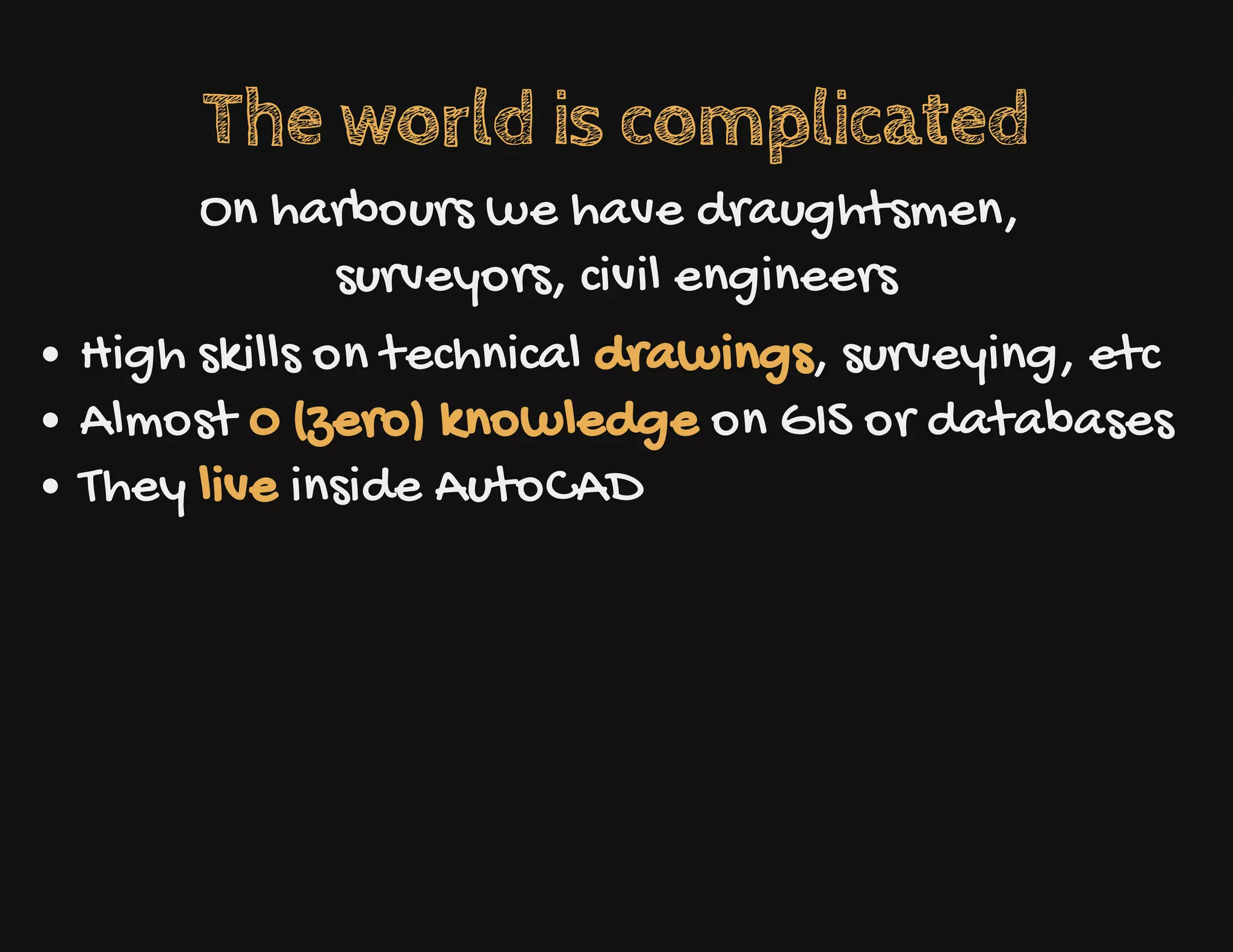

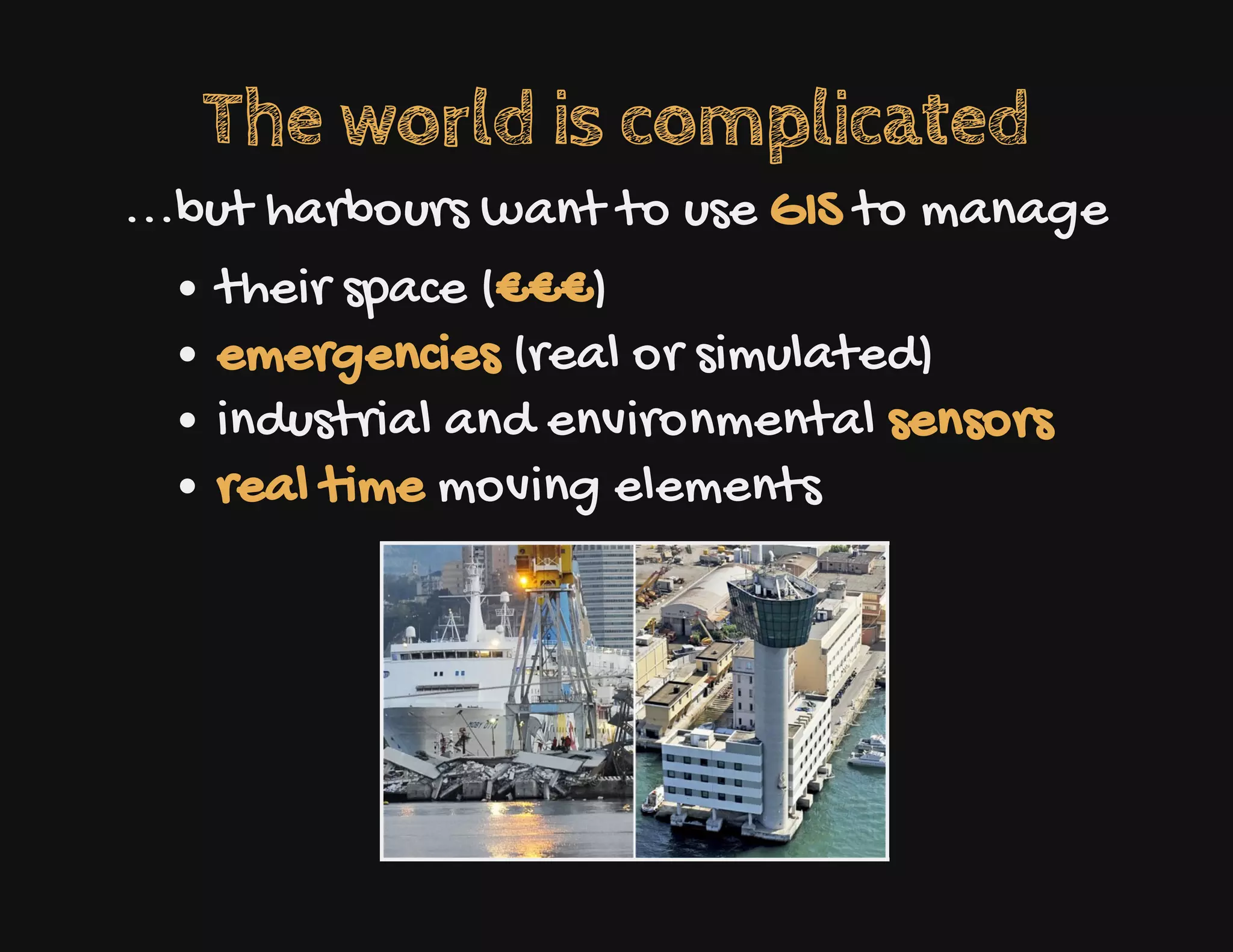
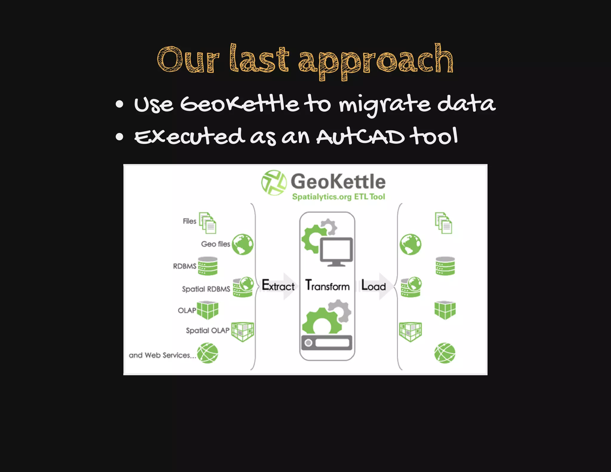
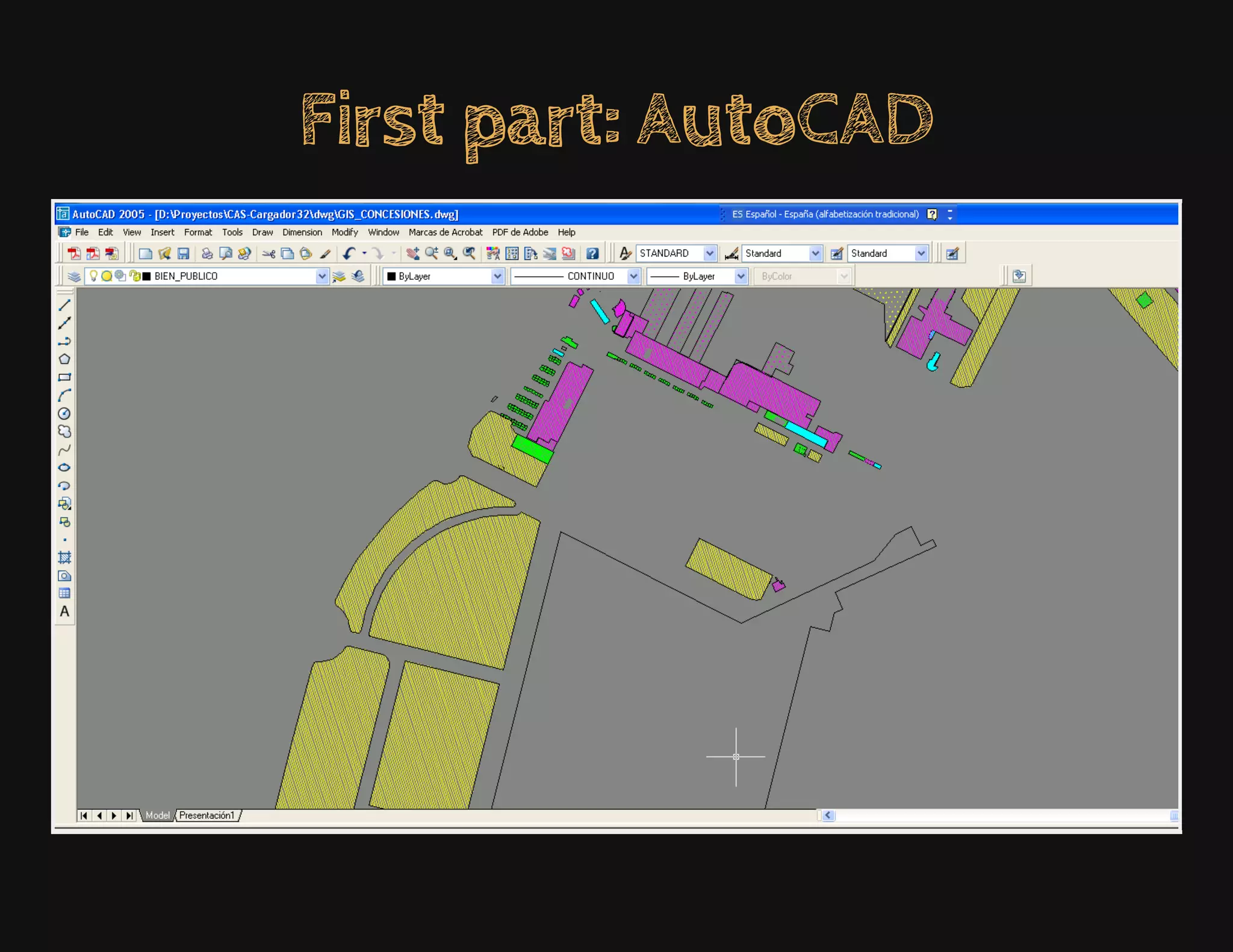
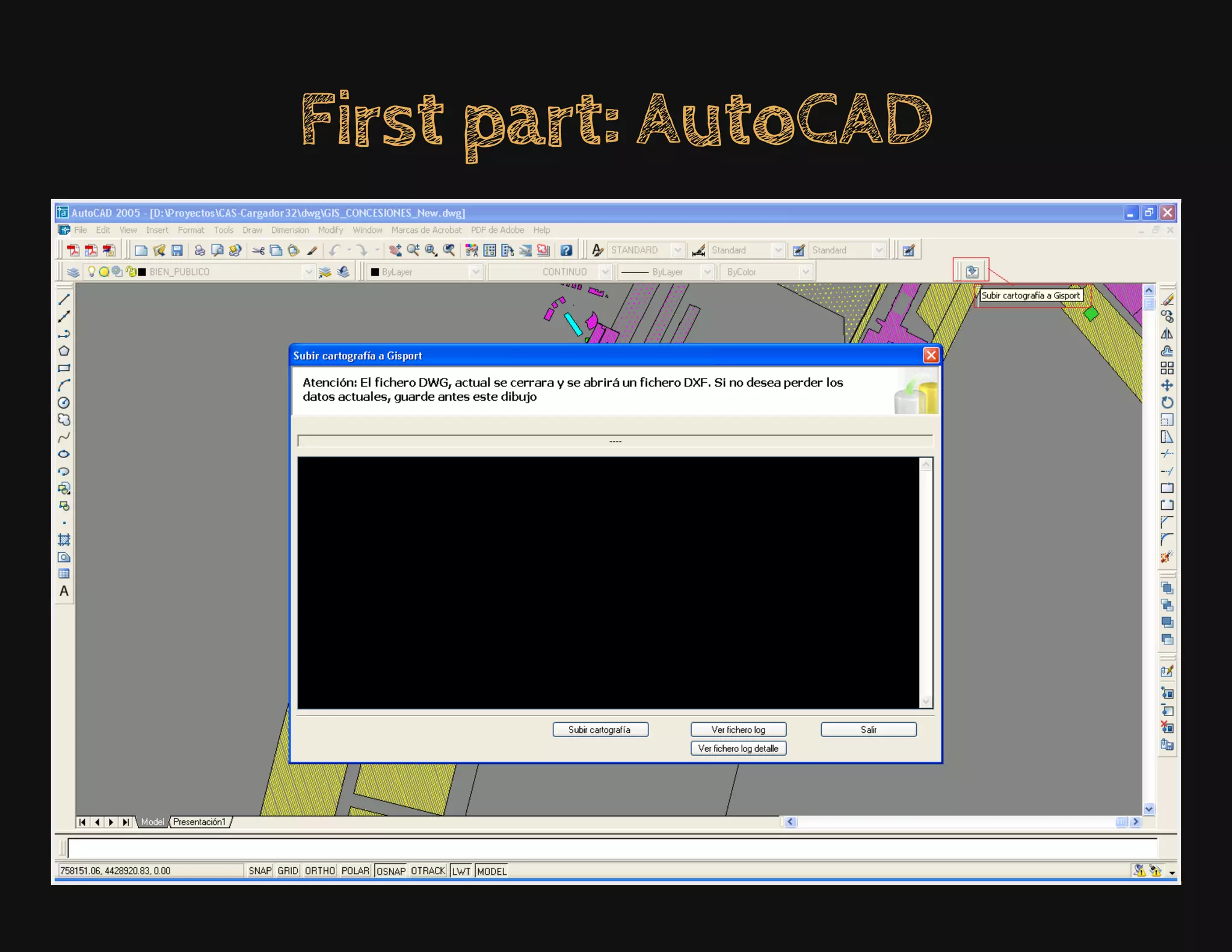


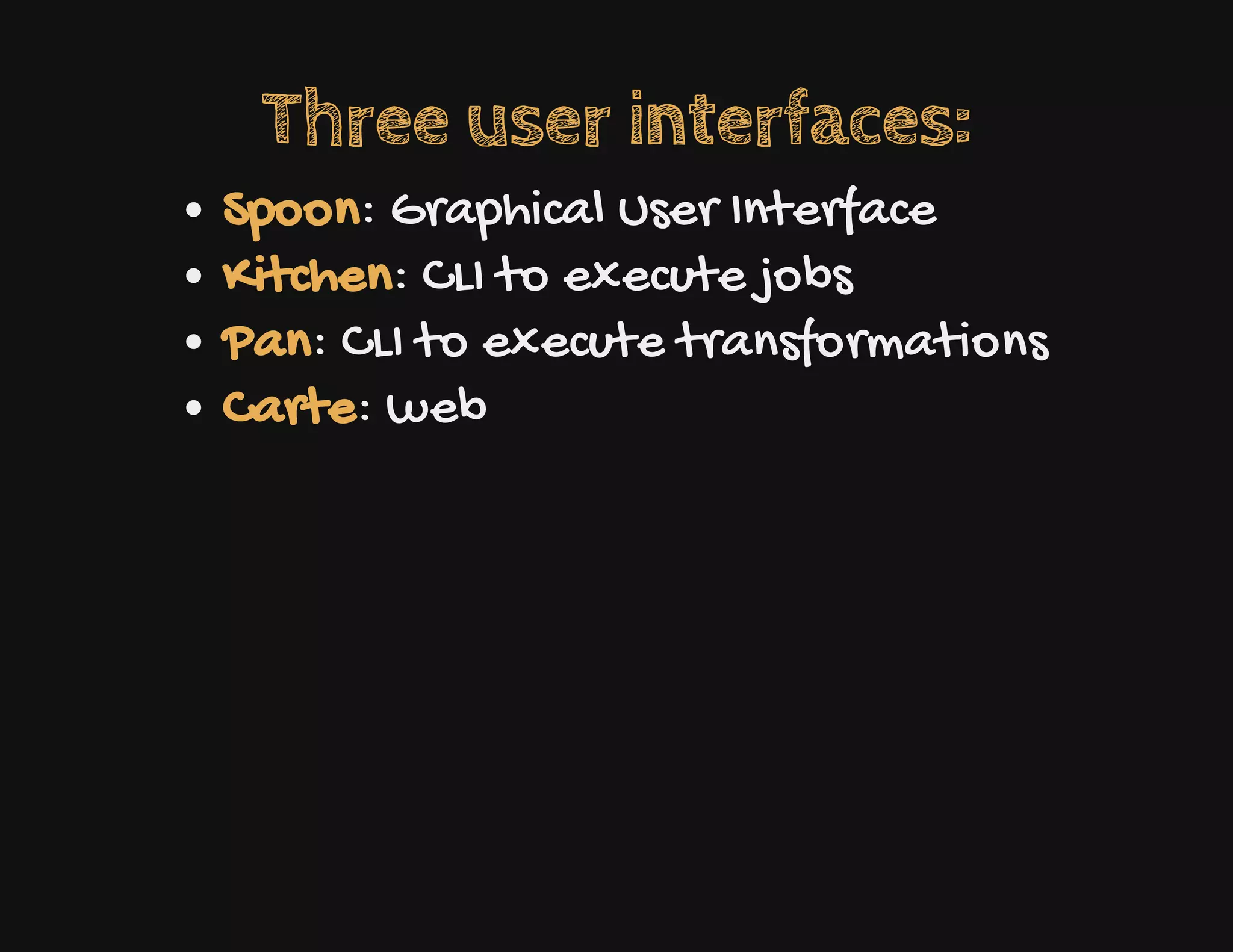

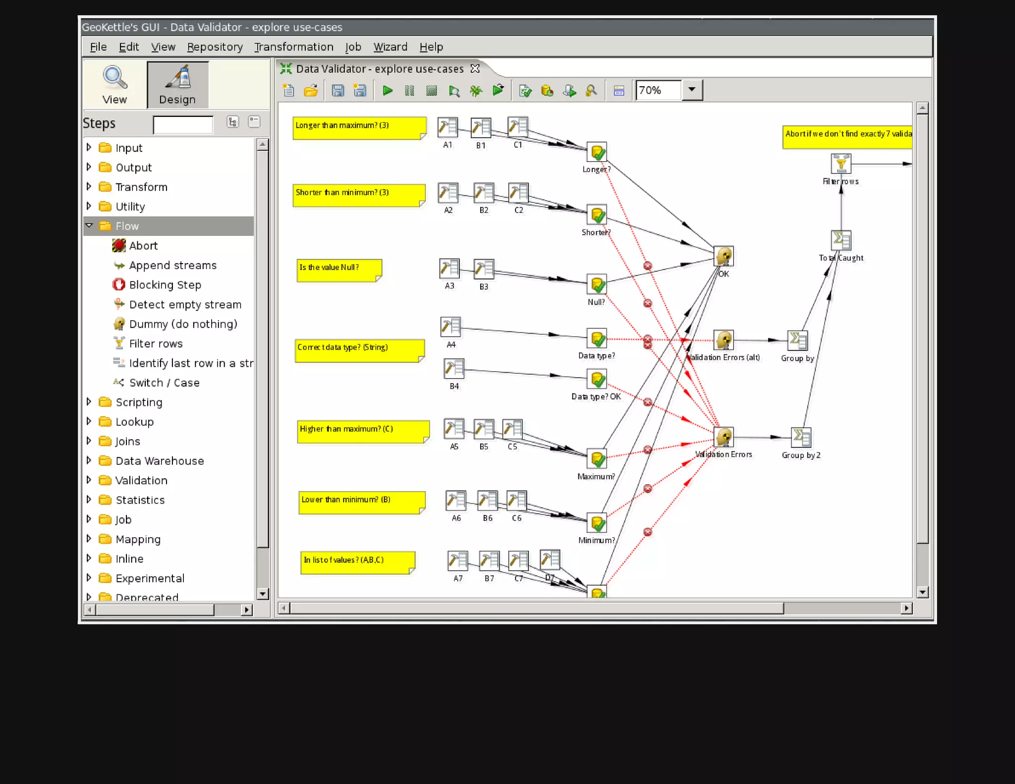

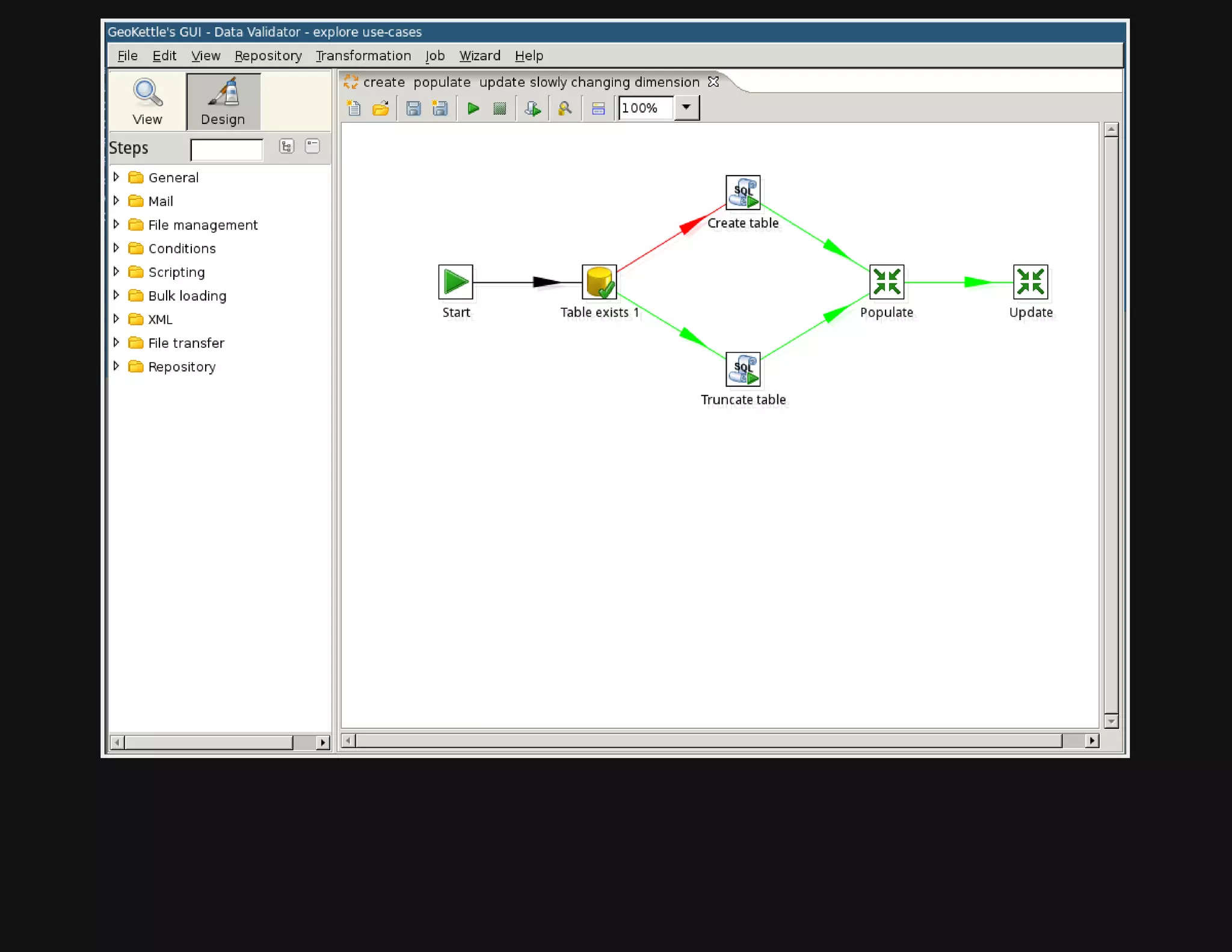
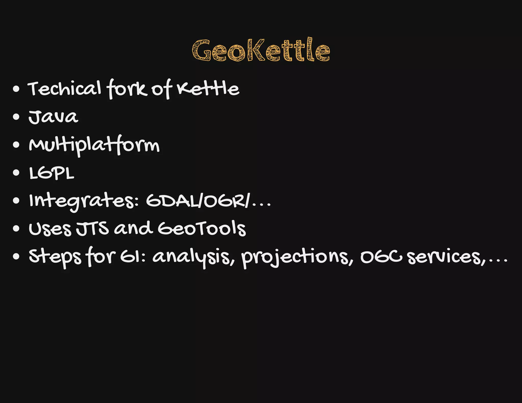

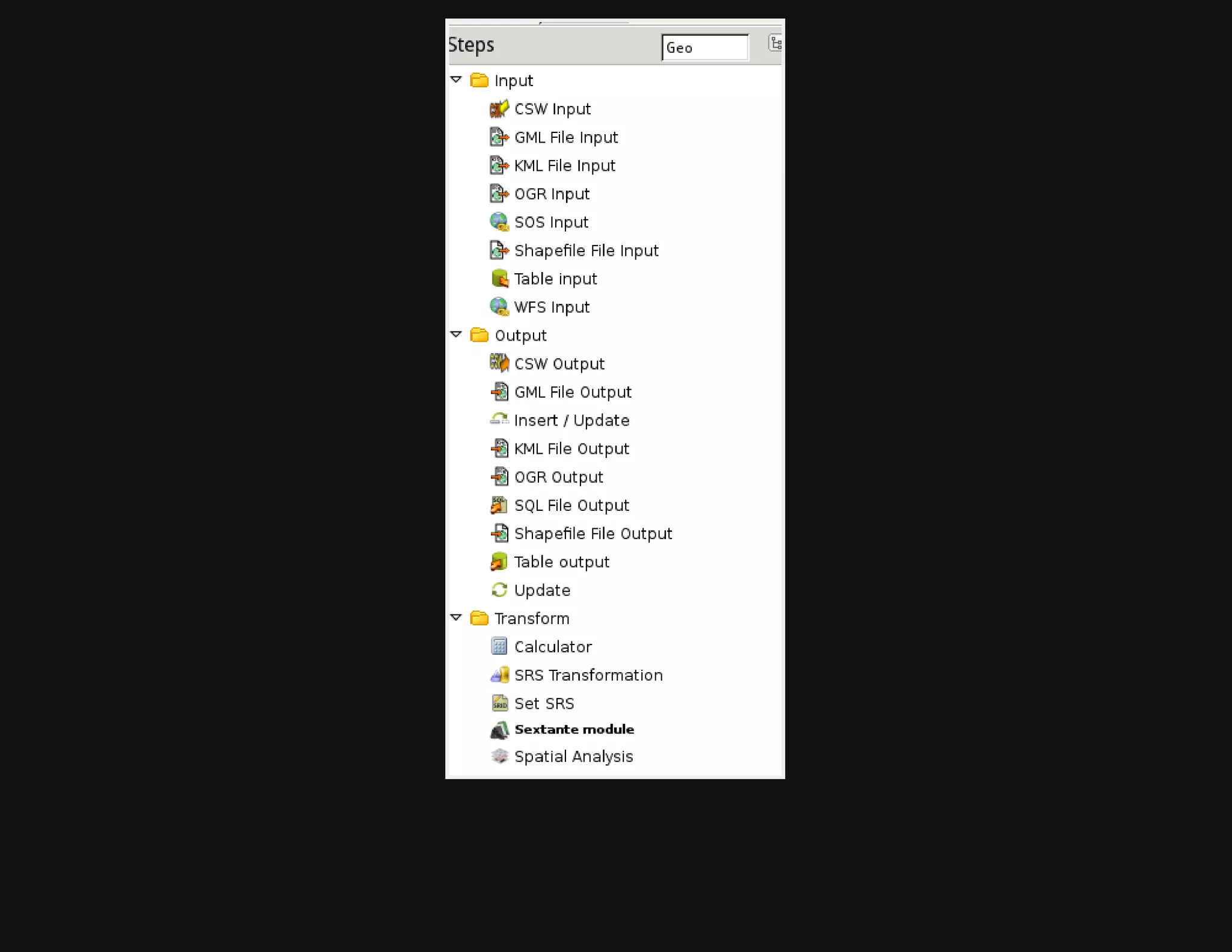
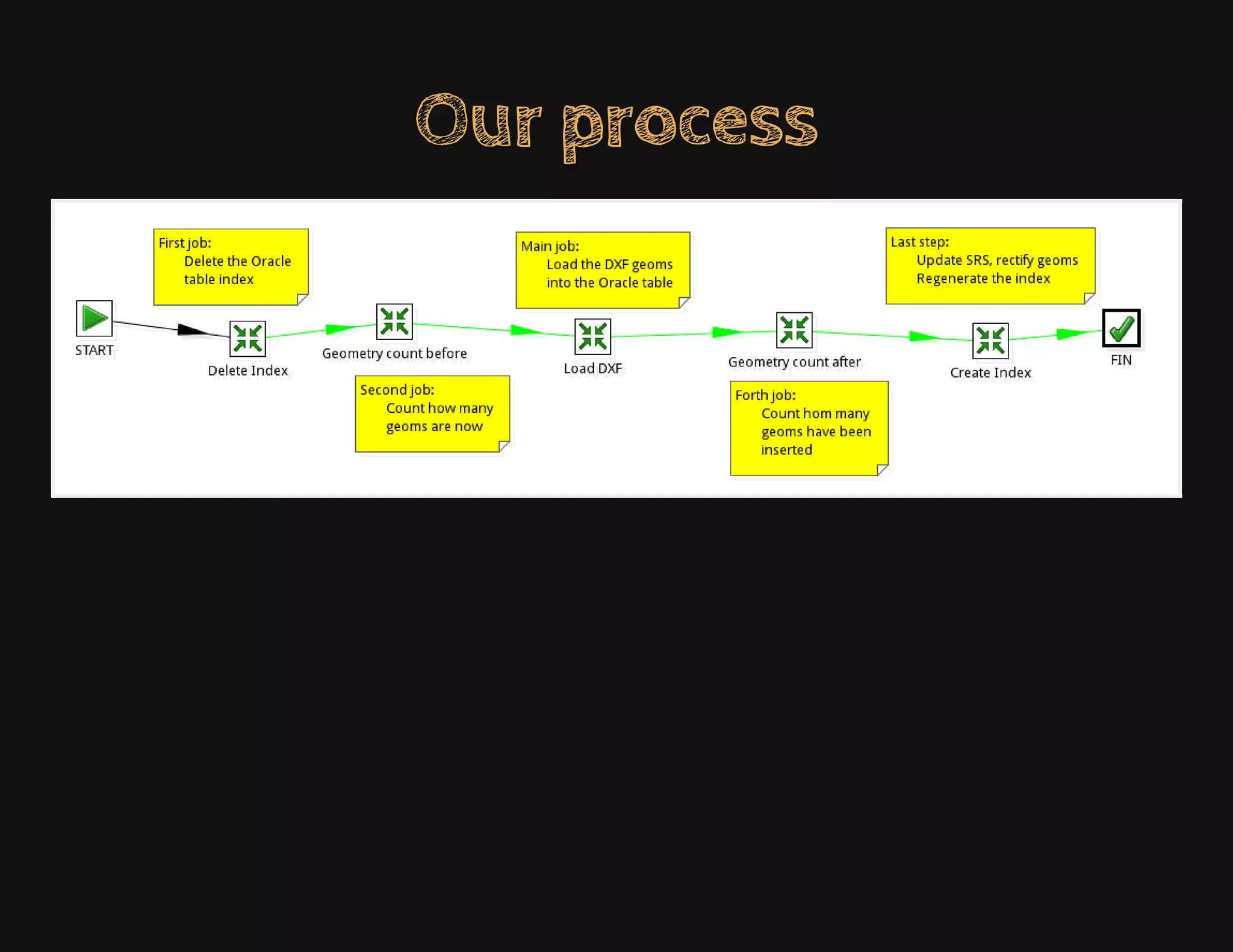
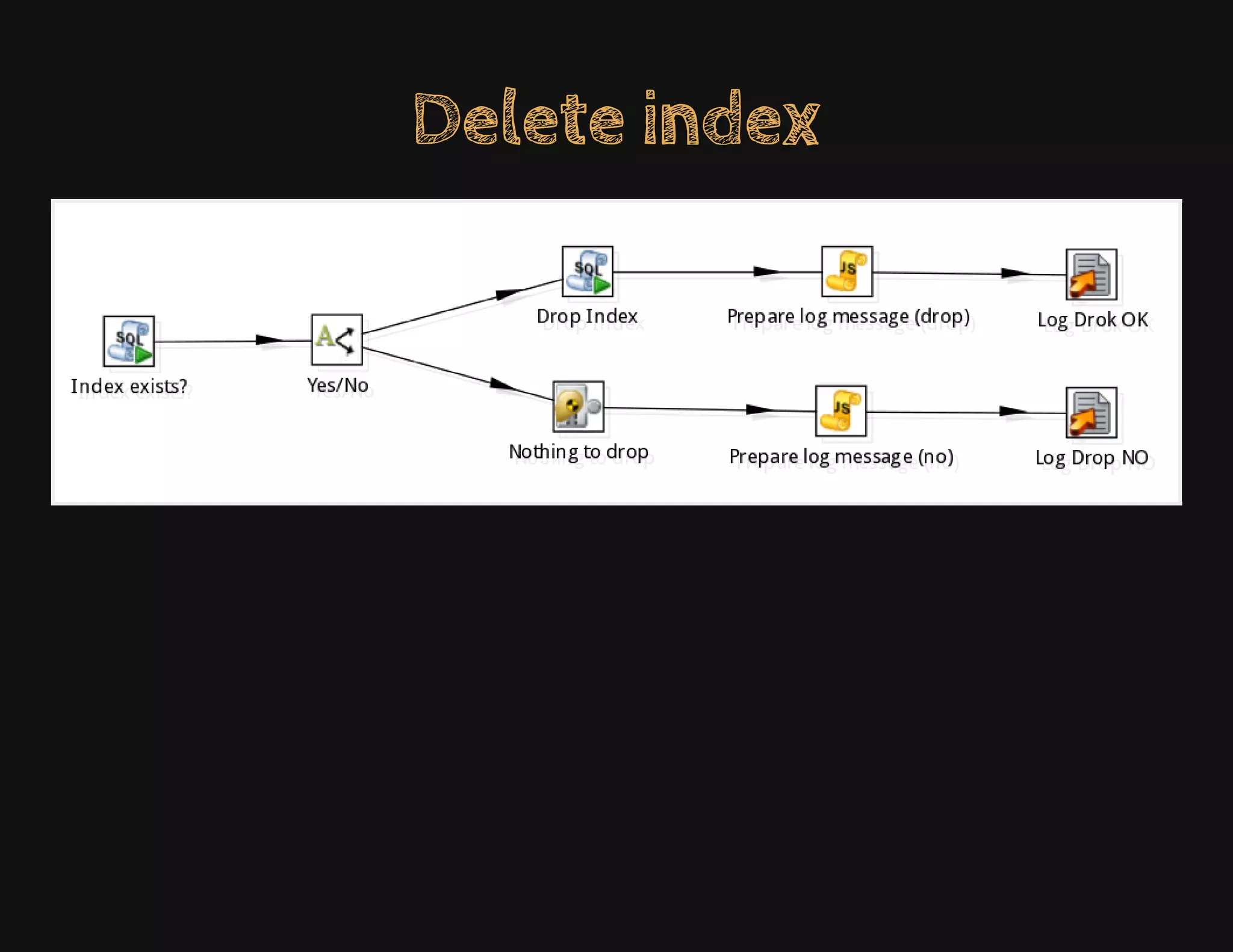

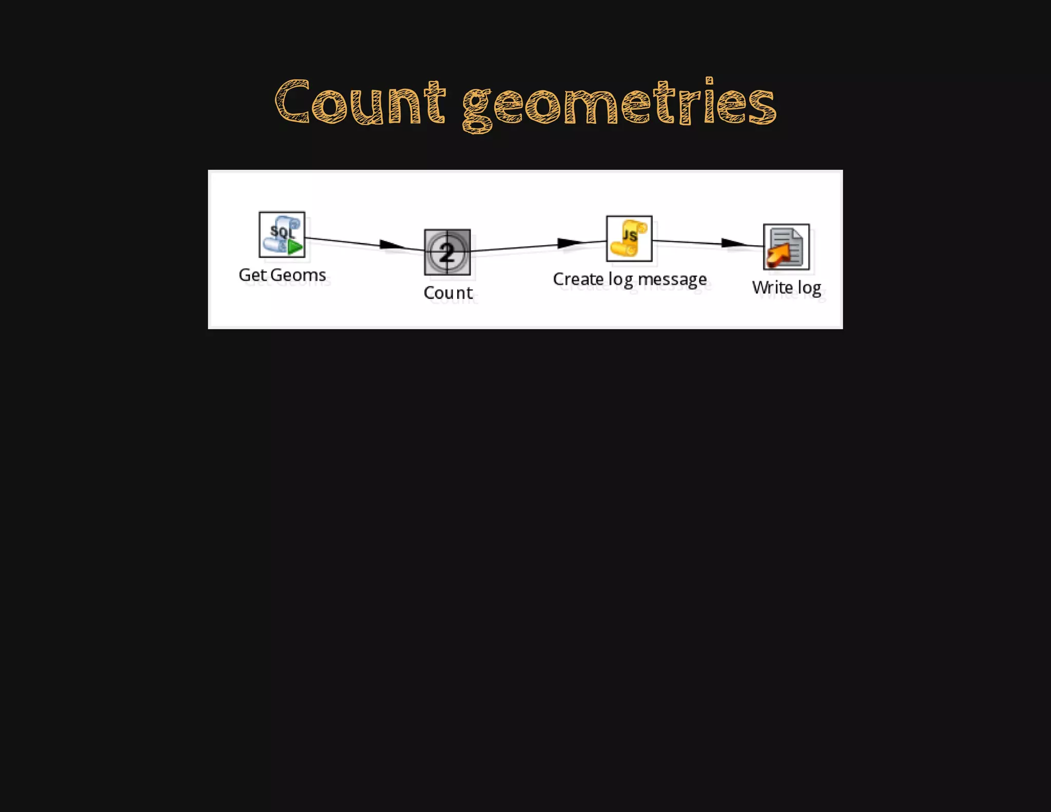
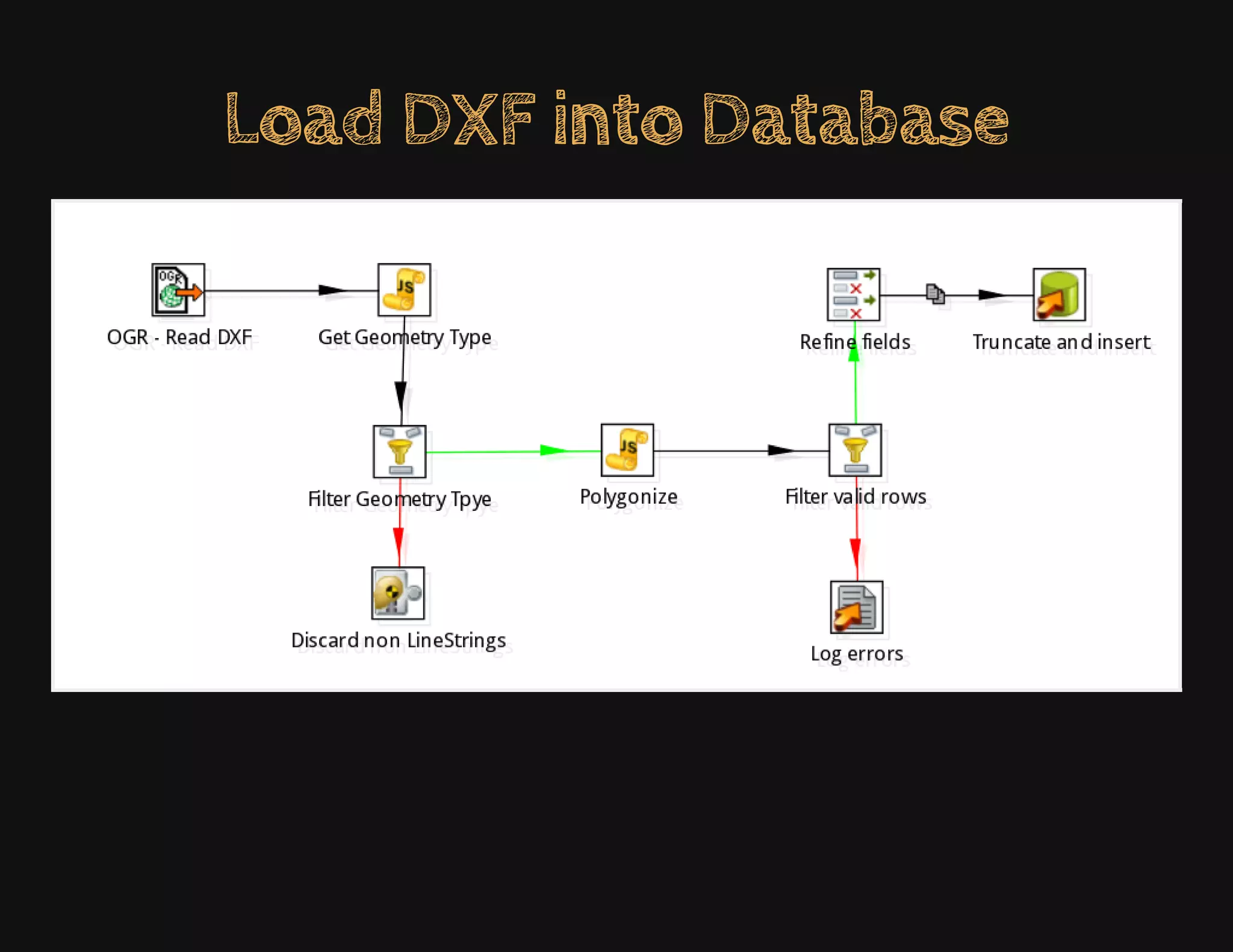

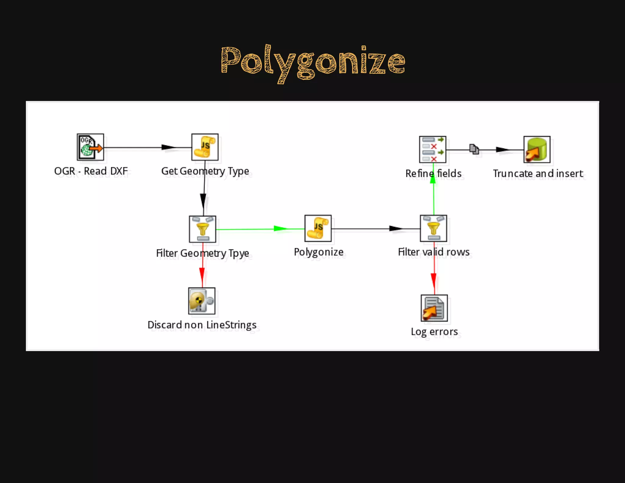

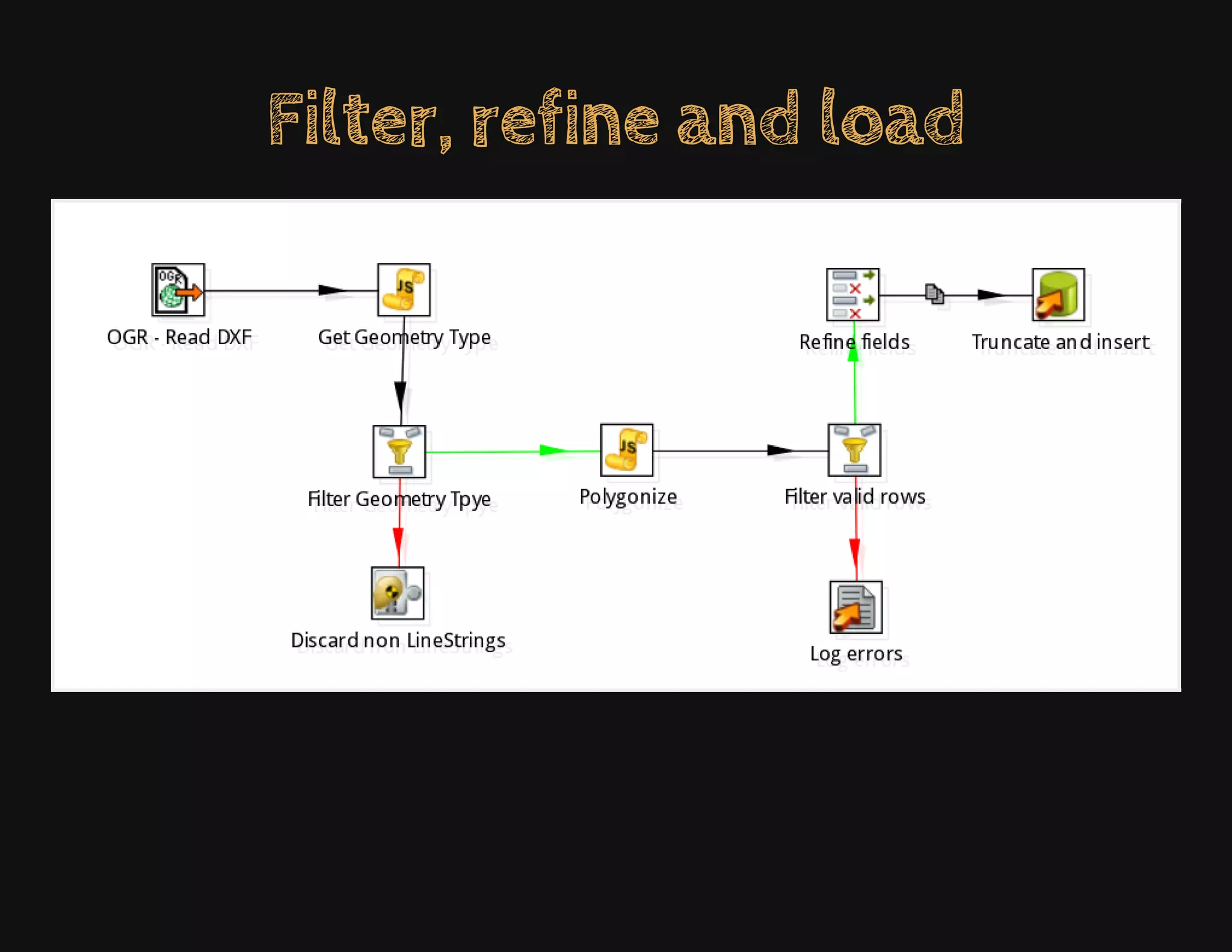
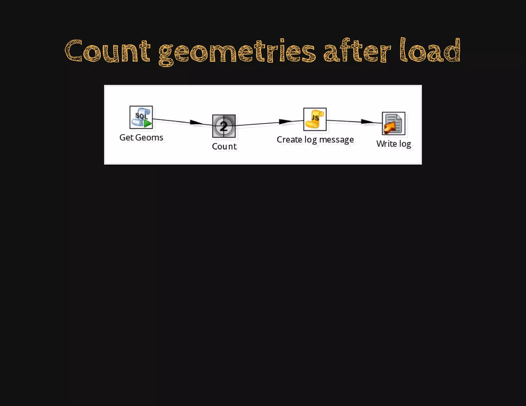
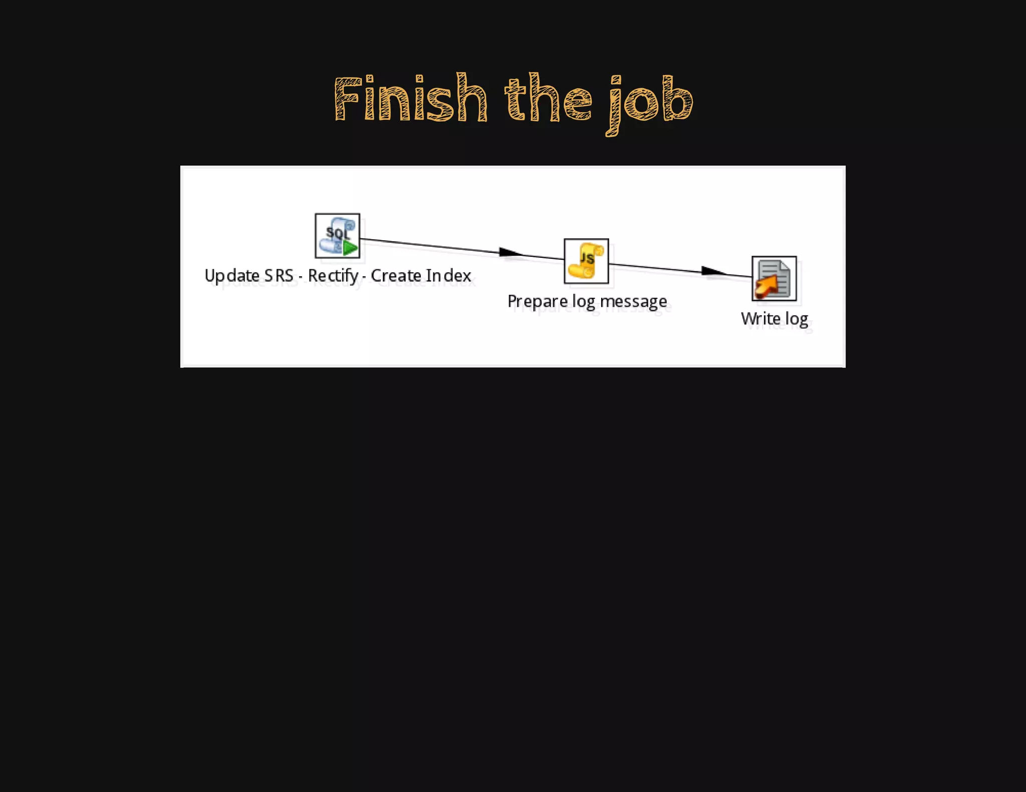
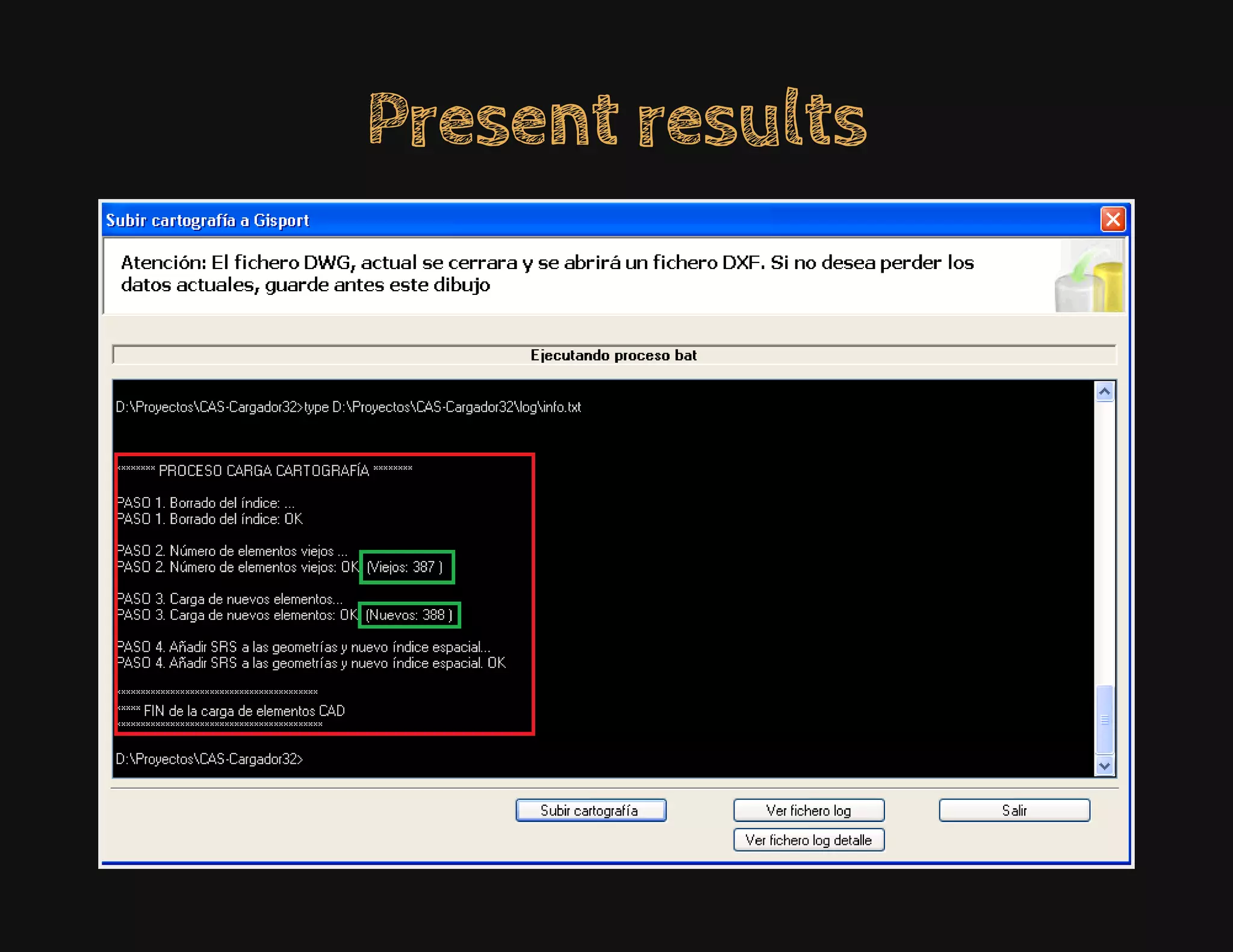

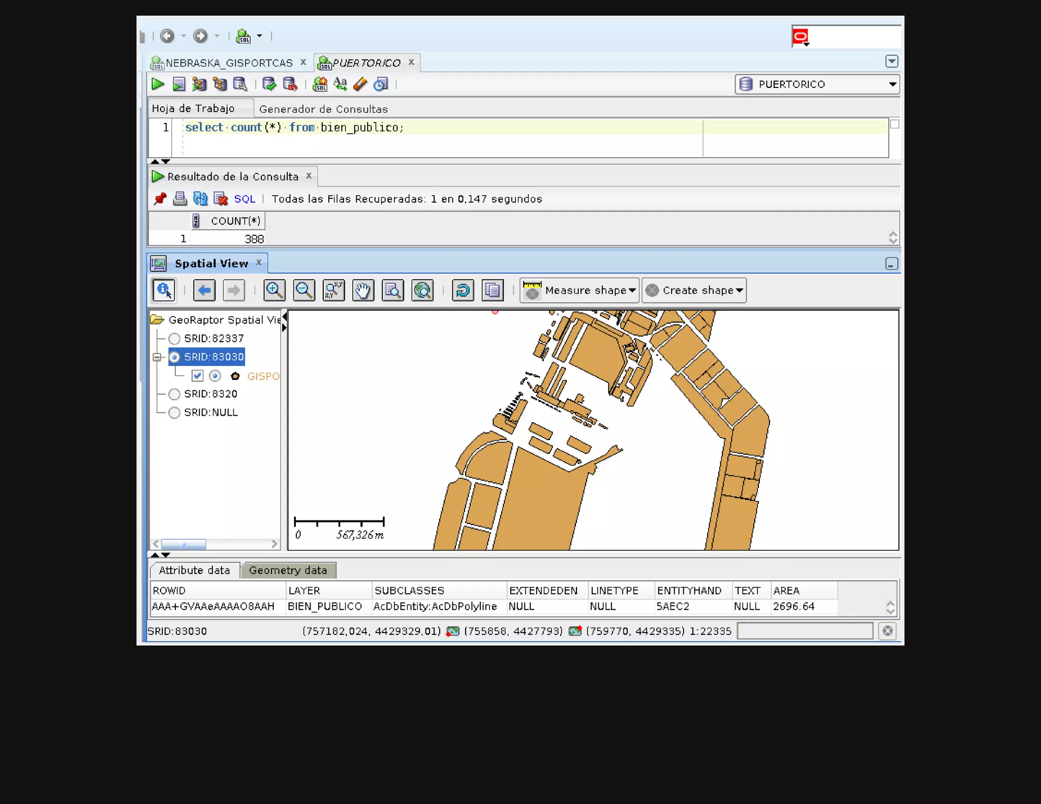
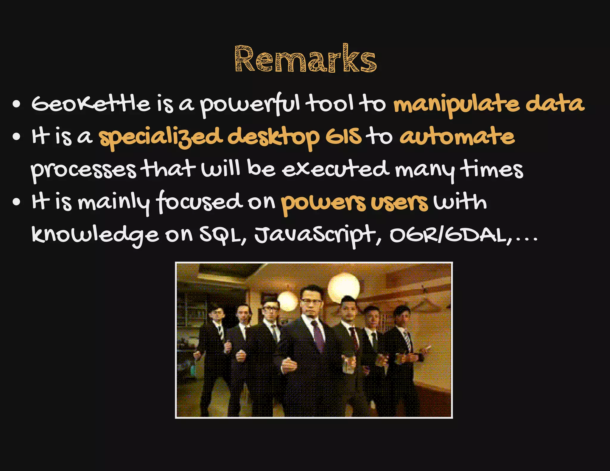


The document discusses the challenges of integrating GIS into harbor management, particularly for professionals who are skilled in AutoCAD but lack GIS knowledge. It outlines a case study involving the use of Geokettle to automate the extraction and transformation of AutoCAD data into an Oracle database. The author emphasizes Geokettle's capabilities as a powerful tool for manipulating spatial data and automating workflows, tailored for users with technical skills in SQL and GIS.


![Vibe Coding vs. Spec-Driven Development [Free Meetup]](https://cdn.slidesharecdn.com/ss_thumbnails/vibecodingvsspecdrivendevelopment-251209105622-43f455e7-thumbnail.jpg?width=640&height=640&fit=bounds)


