Download to read offline
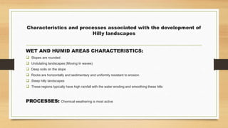
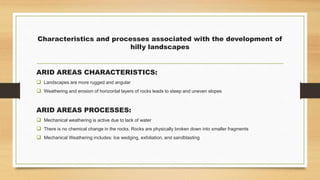
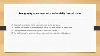

The document outlines the key characteristics and development processes of canyon and basaltic plateau landscapes formed by horizontally layered rocks. It discusses the differences in hilly landscapes in humid versus arid areas, emphasizing the impact of weathering processes on terrain formation. Additionally, the document evaluates human utilization of these landscapes, addressing agricultural potentials and limitations for each landscape type.


