Download to read offline


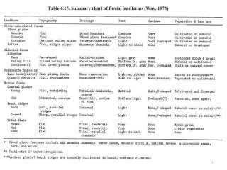
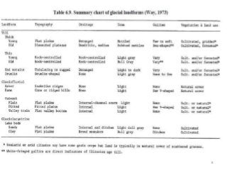
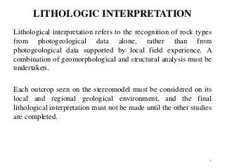
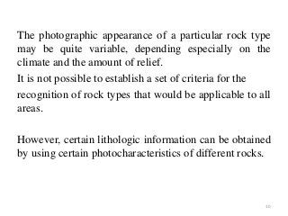
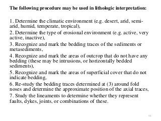
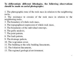
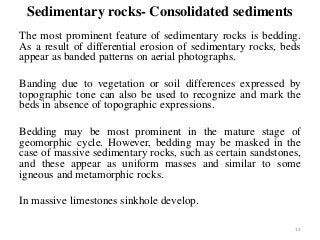
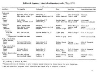
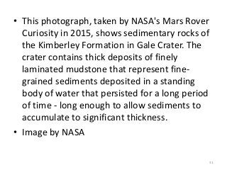

This document discusses identifying landforms and lithological interpretation from aerial photographs. It describes the main types of landforms as hills, valleys, plains etc. created by erosion. Within an area there are usually destructional landforms like hills being eroded and constructional landforms like floodplains being built up. Identifying the landform can indicate the natural formation processes and expected soil types. Lithological interpretation recognizes rock types from aerial photos based on characteristics like texture, erosion resistance, bedding, and regional geology. The document describes identifying features of different sedimentary rocks like sandstone, shale and limestone as well as metamorphic rocks like schist and gneiss.


