Download as PDF, PPTX

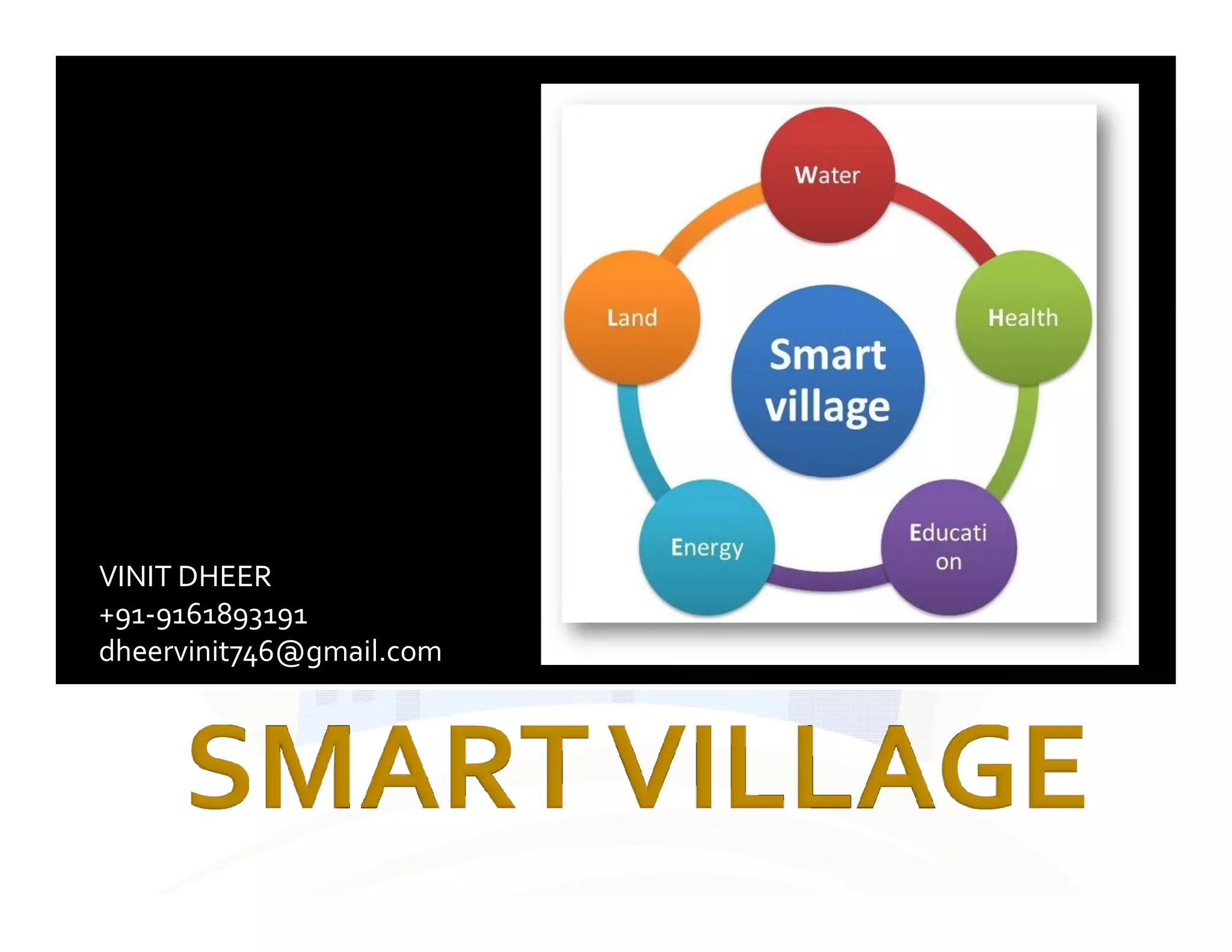
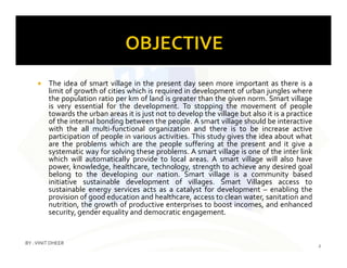
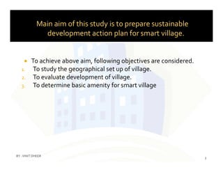
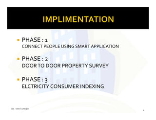


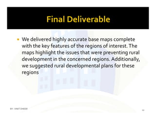

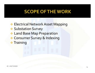


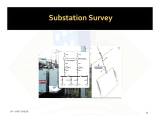

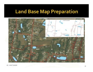
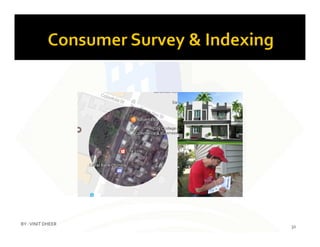
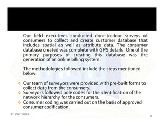


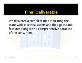

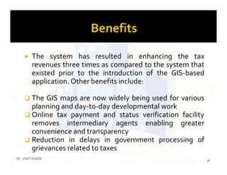


The document discusses the concept of smart villages as essential for sustainable development and reducing urban migration by enhancing local amenities and community participation. It outlines a comprehensive action plan to implement smart village initiatives, including door-to-door surveys, GIS mapping for utilities, and citizen services applications. The ultimate goal is to create self-sufficient communities that leverage technology and local resources to improve living standards and governance.


