Download to read offline

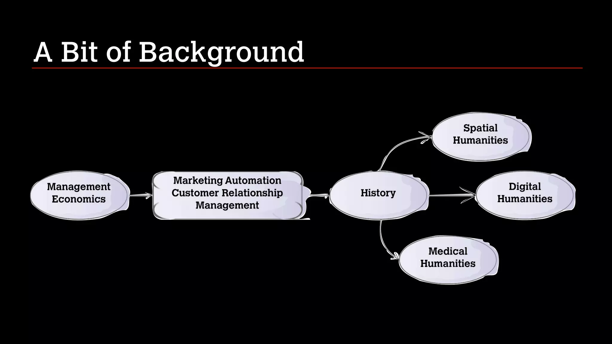
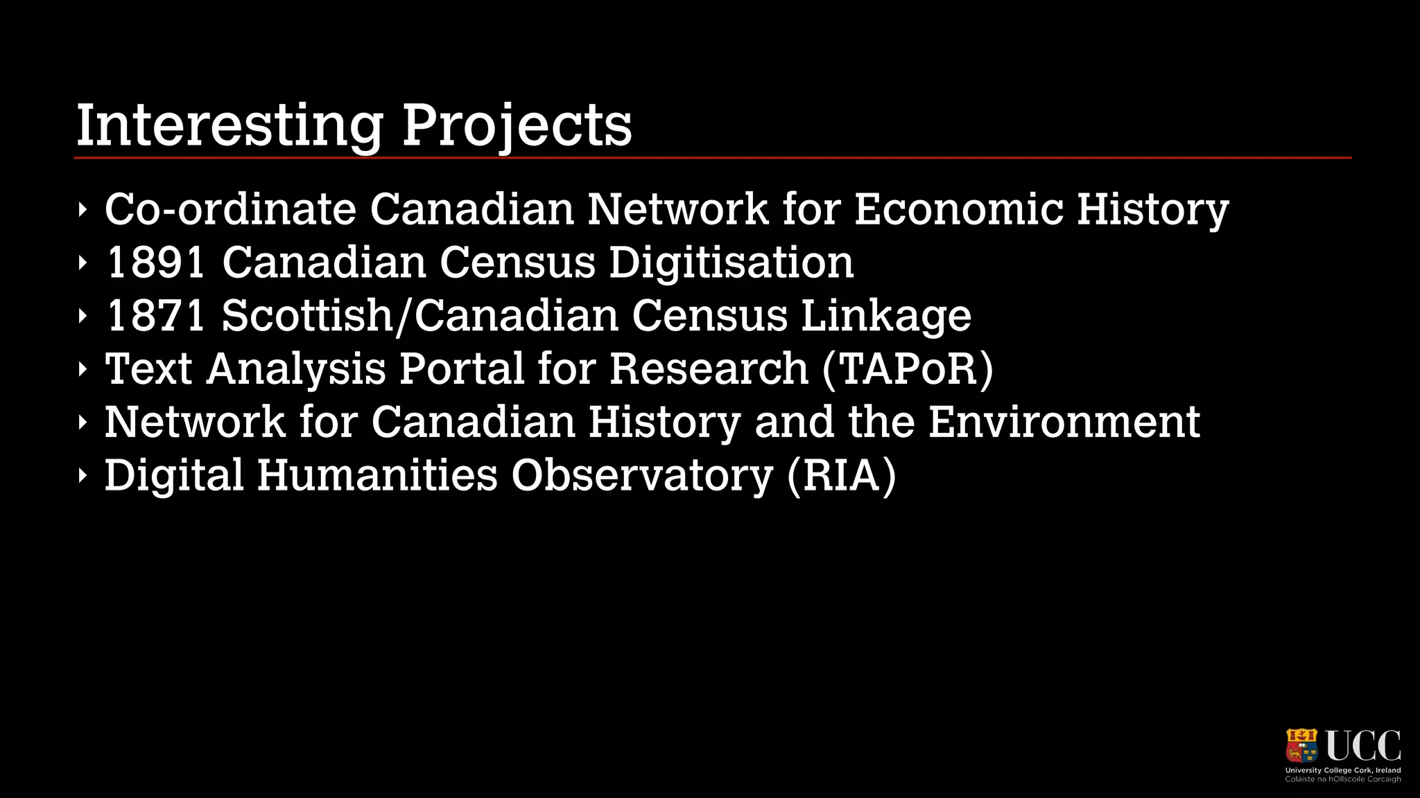
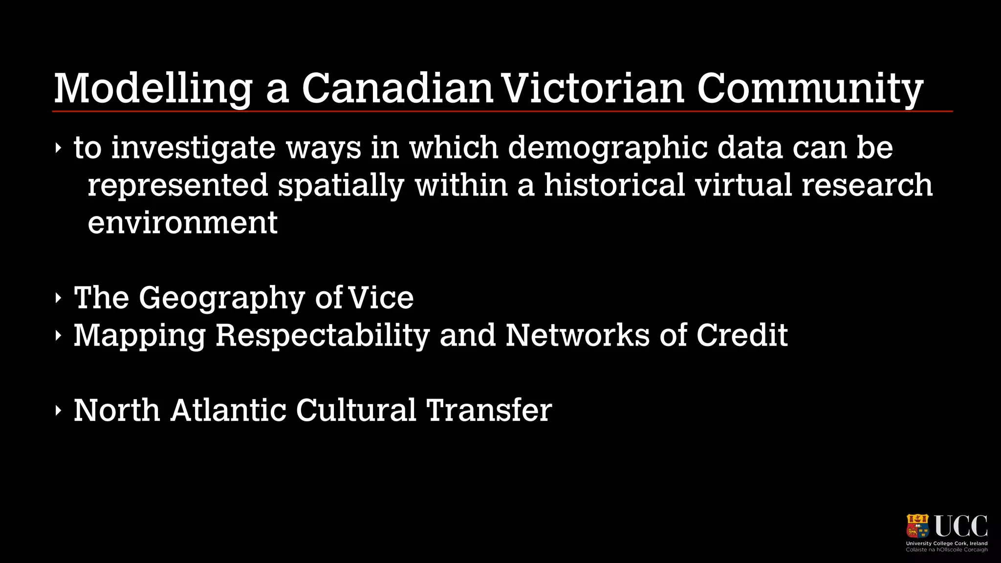
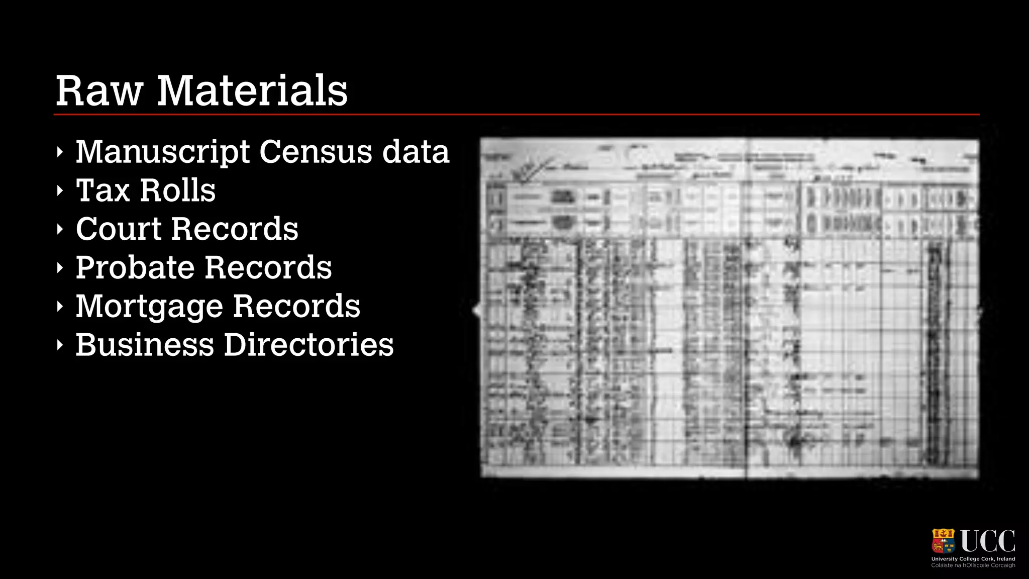
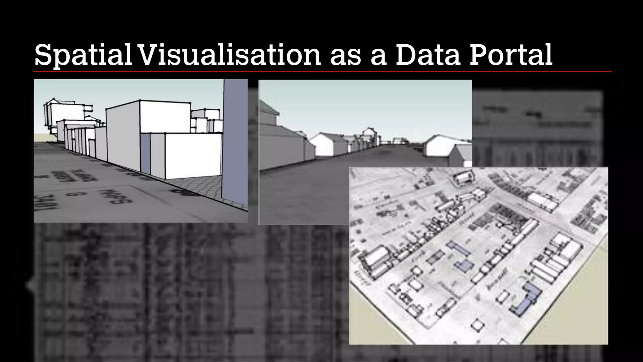
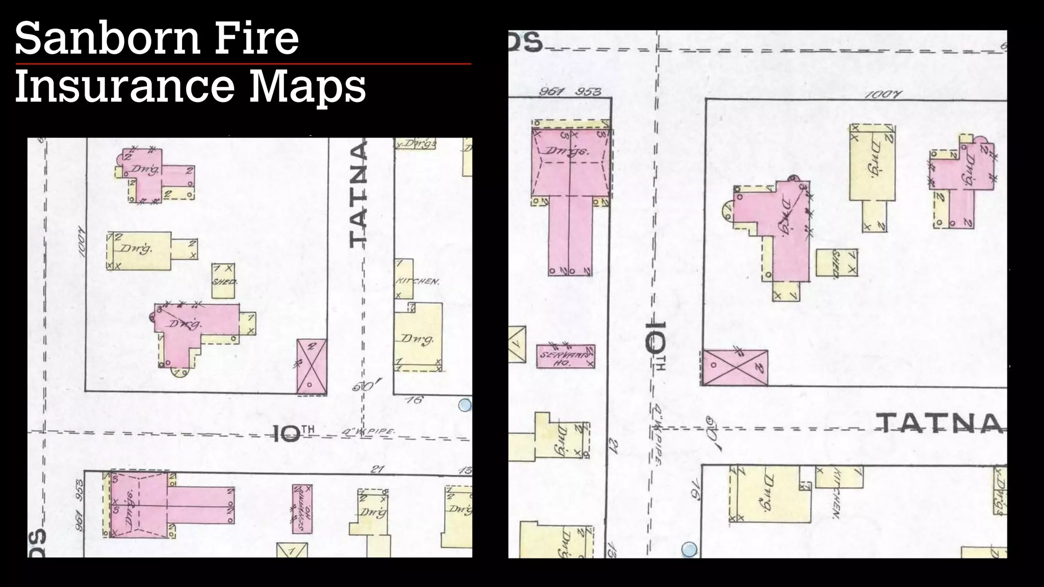
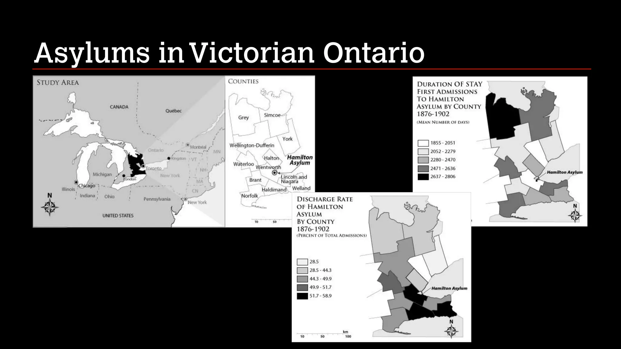
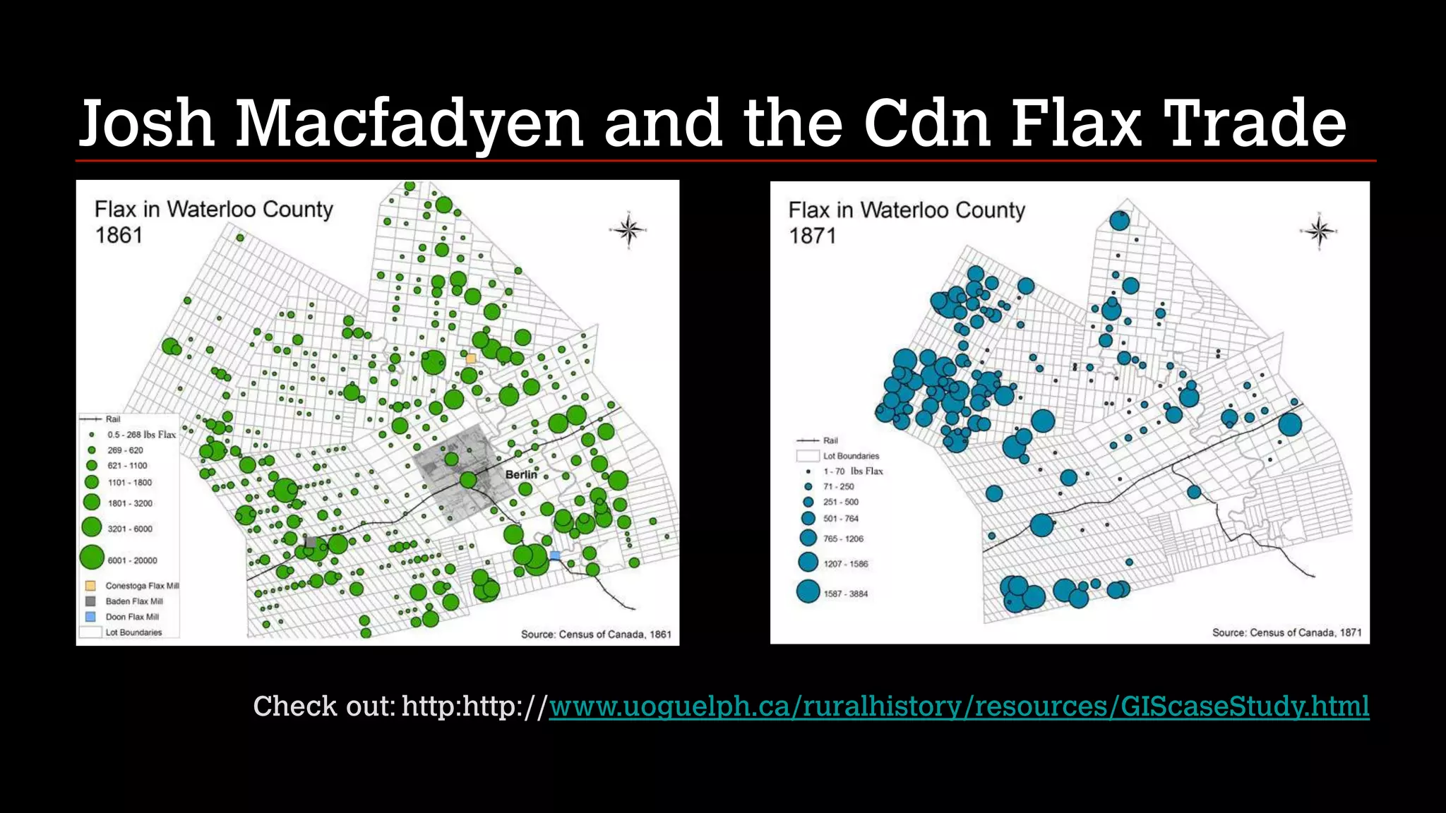

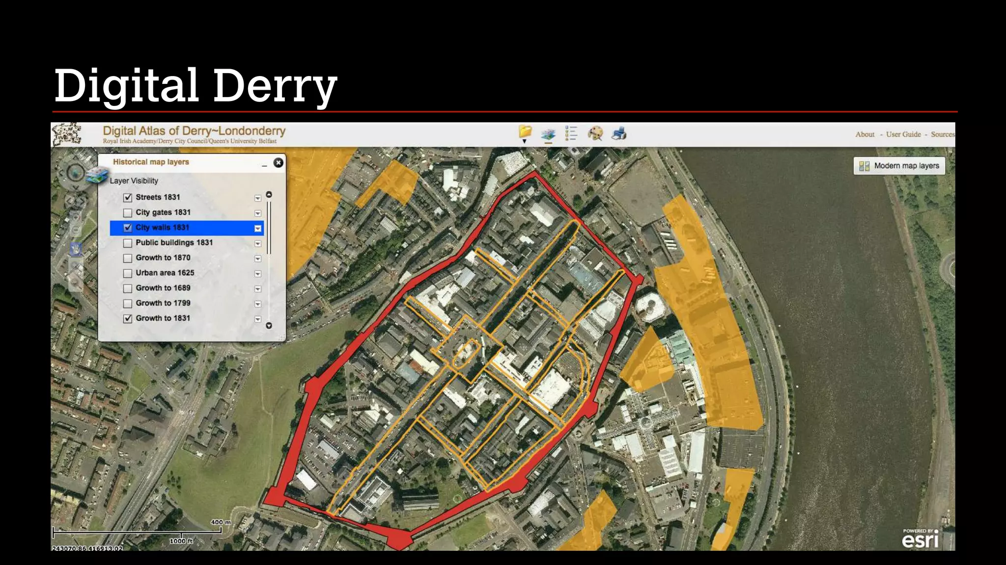
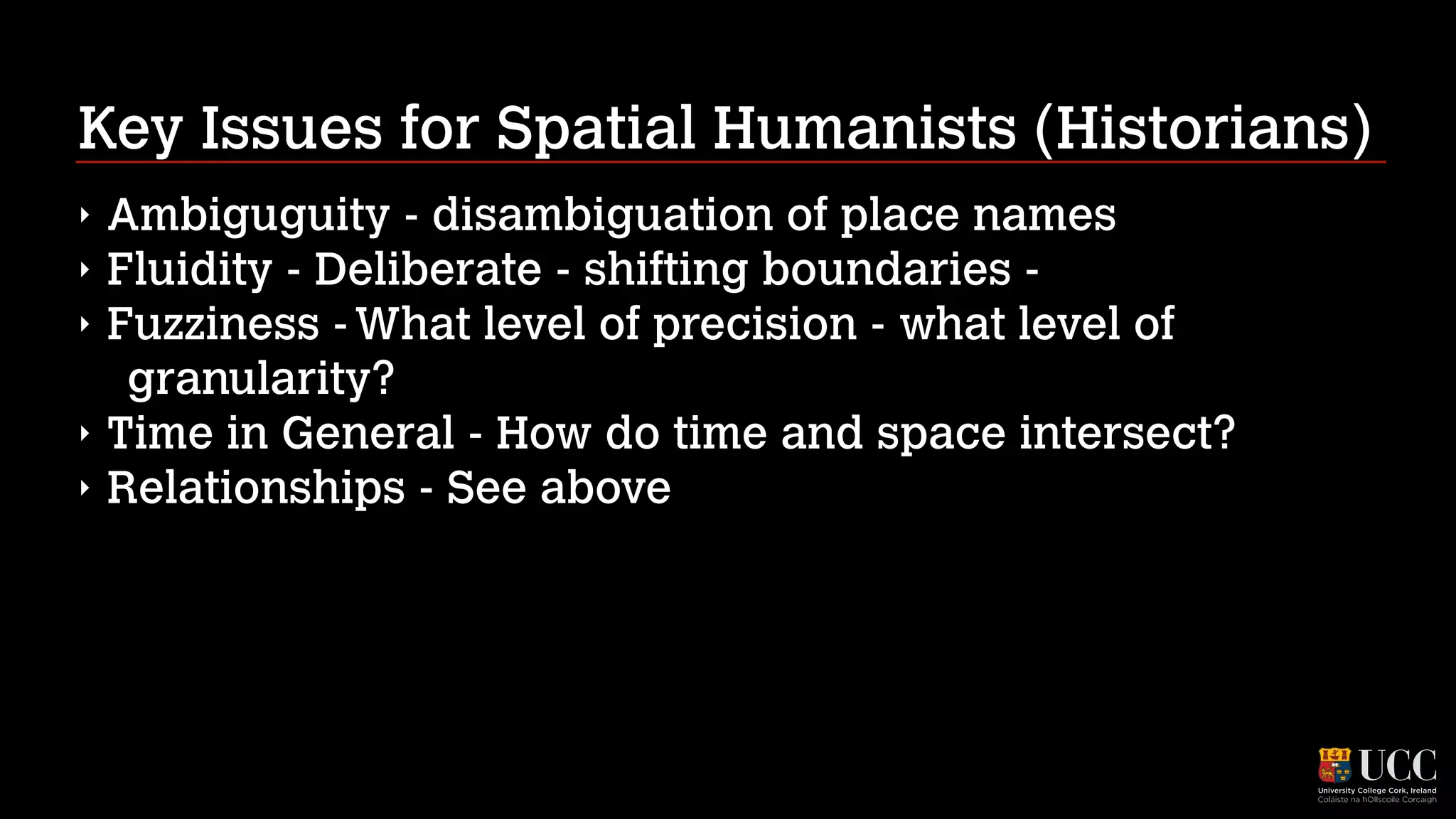
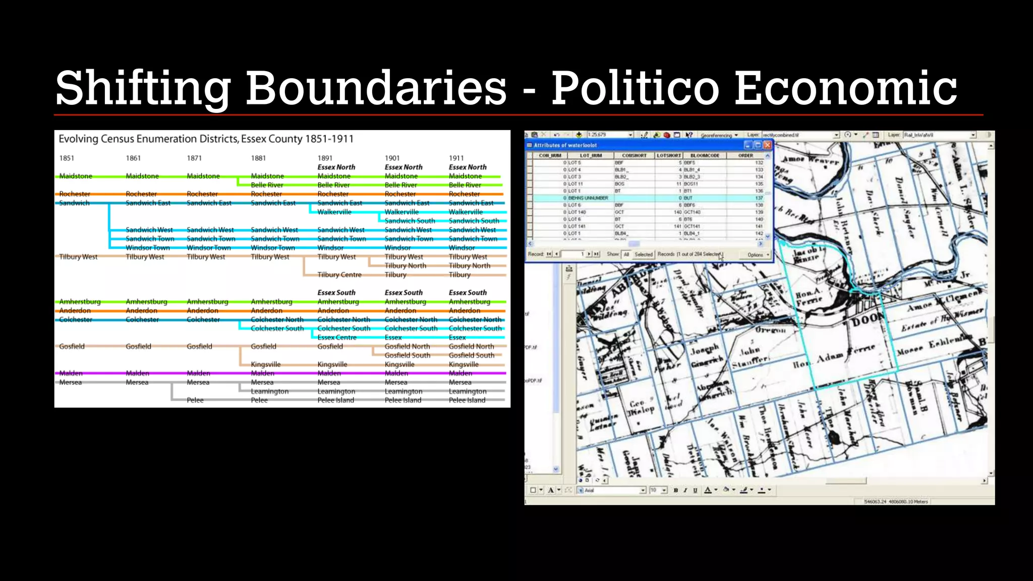

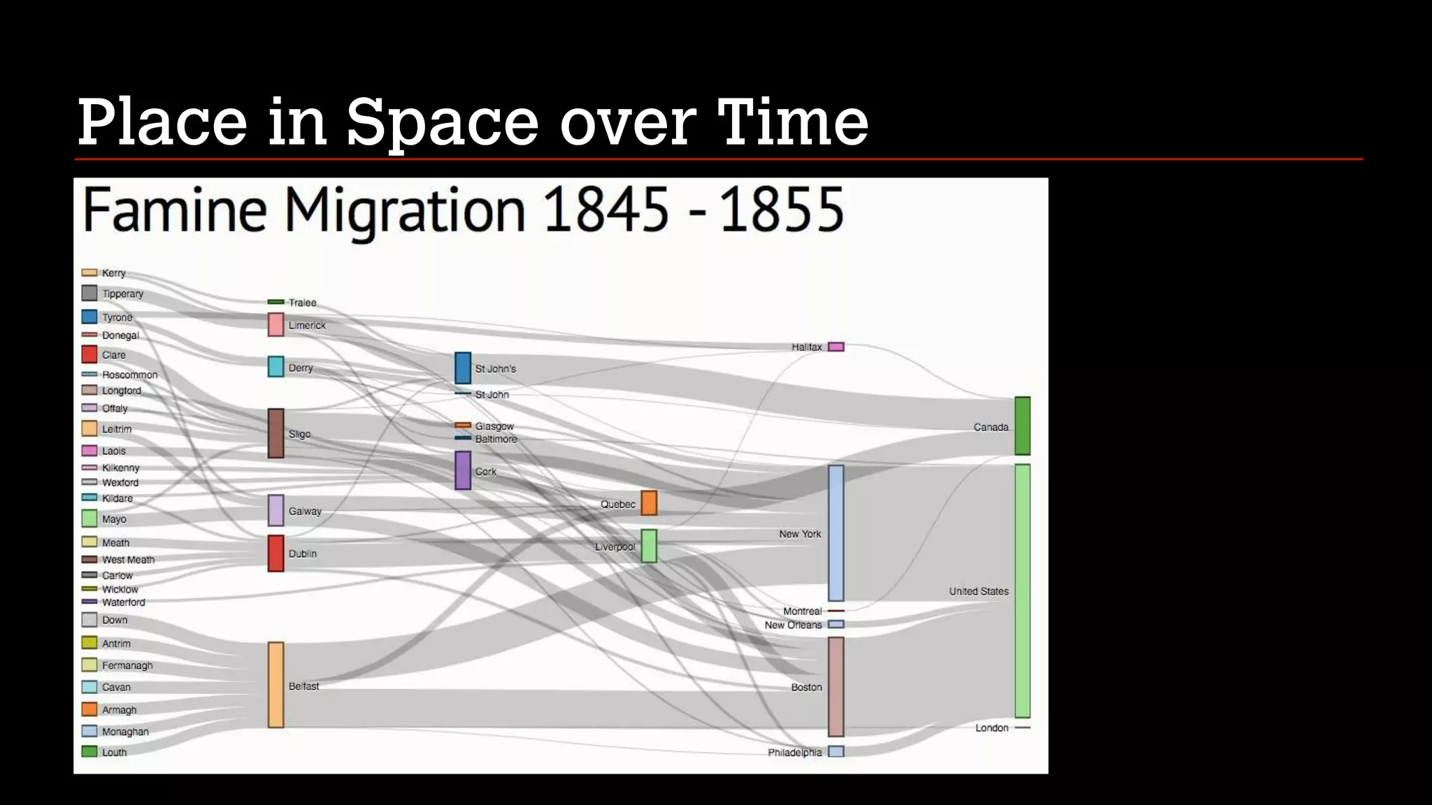


This document summarizes Shawn Day's presentation on how historians can use geoinformatics and digital tools to make connections across space and time in their research. Some of the projects highlighted include mapping census data, court records, and networks of trade. Key issues discussed are disambiguating place names, representing different levels of geographic precision and granularity, and understanding how time and space intersect. The document also provides examples of tools for spatial visualization, georectification, timelines, and curated exhibits that integrate space and time in digital formats. In conclusion, the document notes that deeper analytical tools are still needed to fully represent historical contexts and spatial-temporal connections.


