Download to read offline


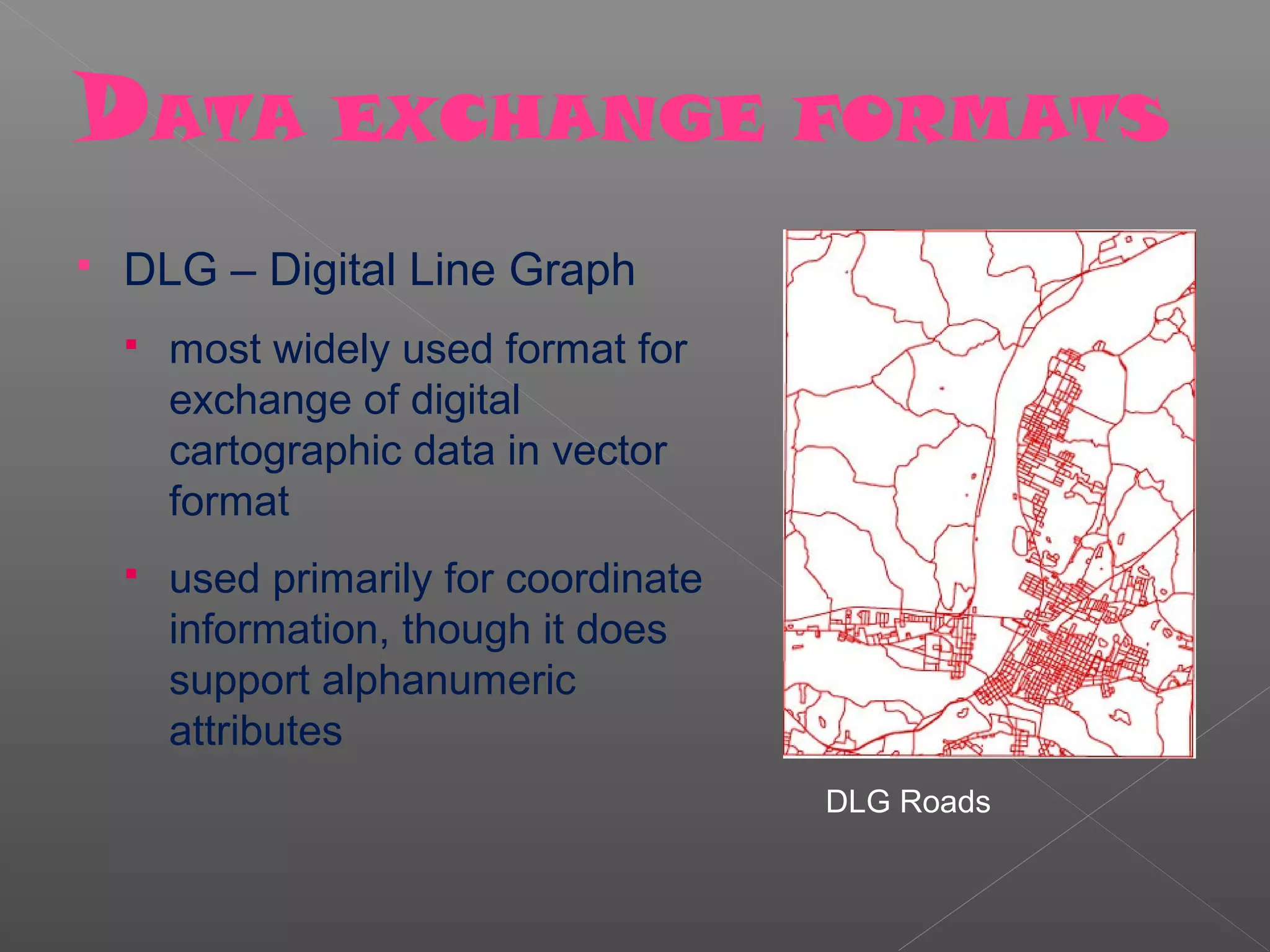
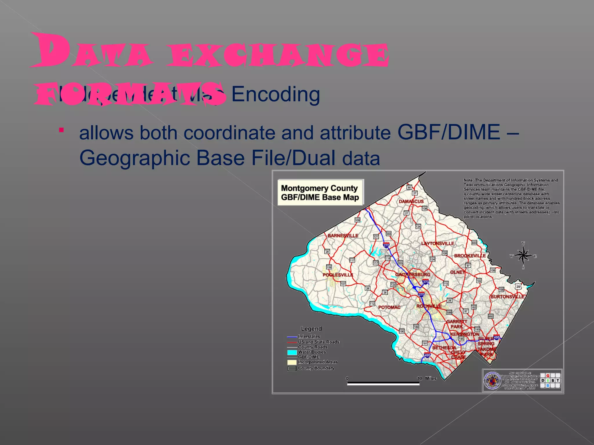
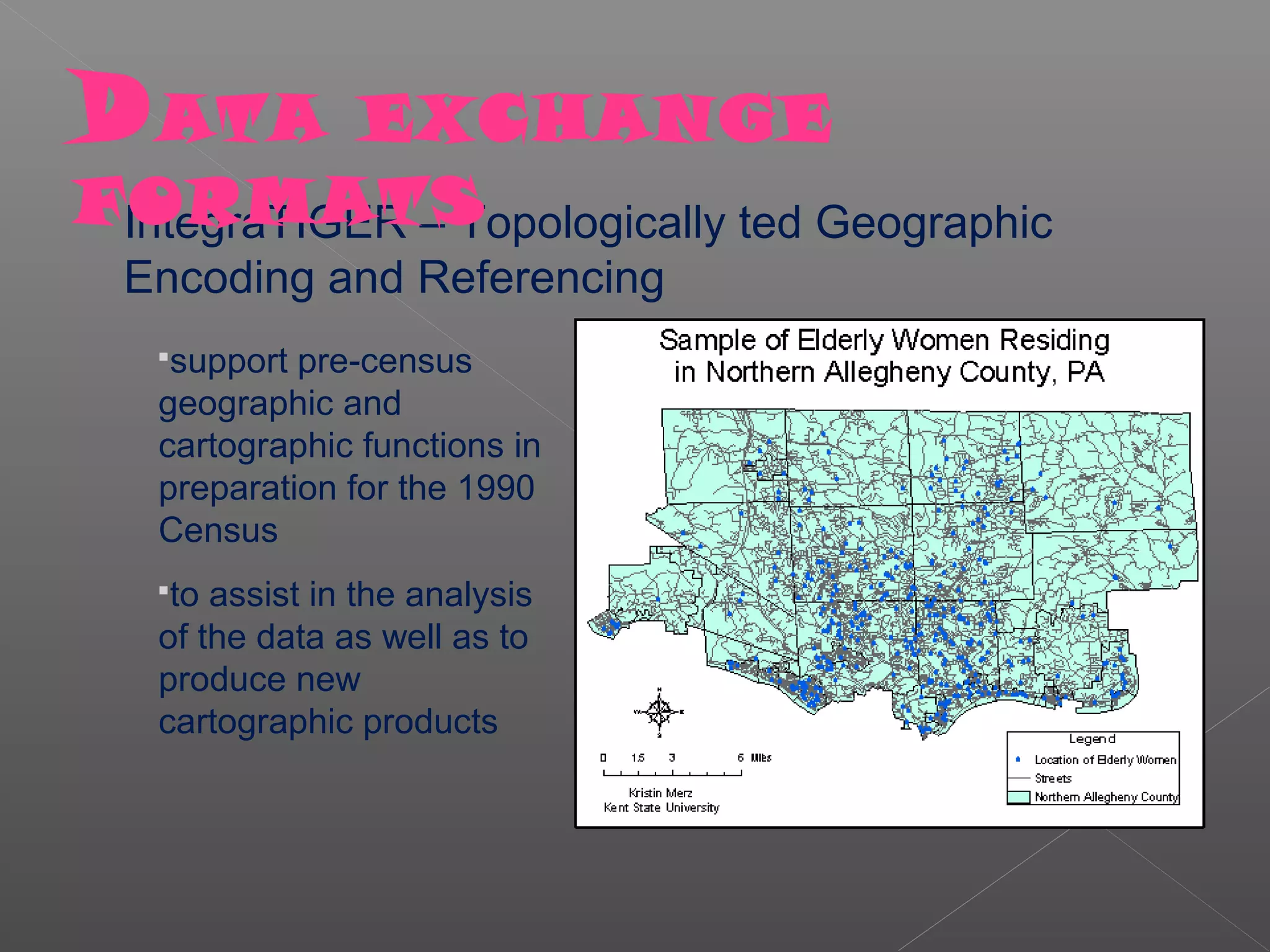


Standards are needed for GIS interoperability between hardware, software and data. While some standards emerge through common use, organizations are working to develop national and international standards to address issues like portability, networking, common environments and development costs. There are various standards bodies and different types of standards including networking, database queries and data exchange formats. Implementing standards presents challenges like start-up costs, management support to adopt standards, and balancing functionality versus other considerations. More work is still needed on data standards including data models, resolutions, accuracies and ensuring data has sufficient documentation when transferred between systems.


![Coded Agents – with UiPath SDK + LangGraph [Virtual Hands-on Workshop]](https://cdn.slidesharecdn.com/ss_thumbnails/codedagentsdeck-251215155422-5497c599-thumbnail.jpg?width=640&height=640&fit=bounds)


